Winter hike Achendammrundweg Winter

Kössen / Kaiser Mountains
Difficulty ratings: easy
Route length: 4.2 km
Duration: 1:30 h

Trail Nr.: 14

Tour information

  • Requirement: easy
  • Length: 4.2 km
  • Duration: 1:30 h
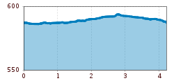
  • Elevation uphill:20 hm
  • Elevation downhill:20 hm
Highest point597 m

Starting point

Tourist Office Kössen

Finishing point

Tourist Office Kössen

Features

  • Circular route
  • Suitable for families
  • suitable for pushchairs

Best time of year

  • January
  • February
  • March
  • April
  • May
  • June
  • July
  • August
  • September
  • October
  • November
  • December

Trail condition

Gravel and Asphalt

Equipment

Breathable outdoor clothing suitable for the weather, sturdy footwear, food (snacks, drinks),
sun protection (sunglasses, sun cream & cap), rain protection, cash; guest card if using the bus
Source: TVB Kaiserwinkl

Description

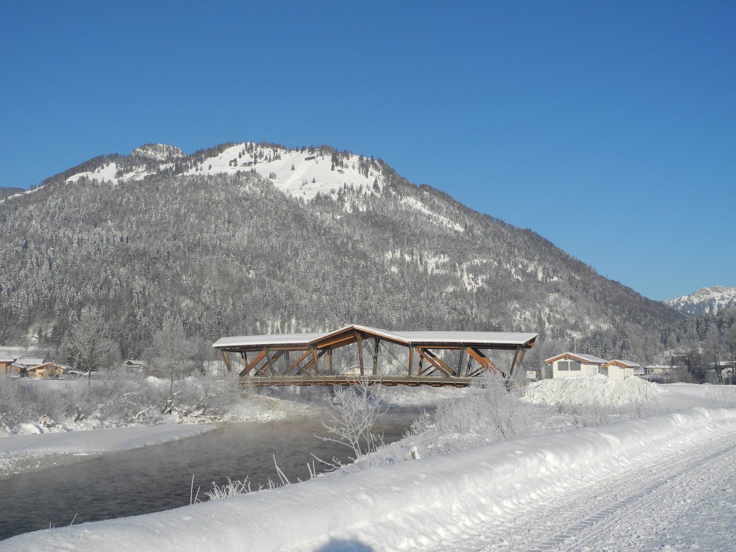
From the Kössen Information Office, turn onto Mühlbachweg at the alpine dairy. Go through the pedestrian underpass, cross the Staffen Bridge, then turn left and follow the Kössener Ache along Riverbank Trail No. 14 southward across the Kohlbach Bridge. After the bridge, continue to the Gründler butcher shop and keep going straight ahead to the Hüttwirtsbrücke. Cross the bridge, then turn left and follow the Ache to the next fork; here, turn right back to the starting point.

Getting here

  • Parking

    At the VZ Kaiserwinkl parking lot

Weather

Today

clear sky
30°C/7°C
5 km/h
Snow depth
Now: 0 cm,
Next snowfall: No data available
Go to weather forecast Go to snow report

More tours in the surrounding area

Newsletter

The mountain is calling? So does our newsletter!

In our monthly newsletter we reveal the best holiday tips for Tyrol.