

Place:Mieming
:Tavern, Alpine pasture / hut / mountain restaurant:vegetarian
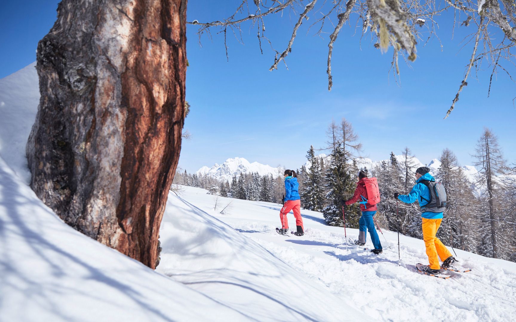
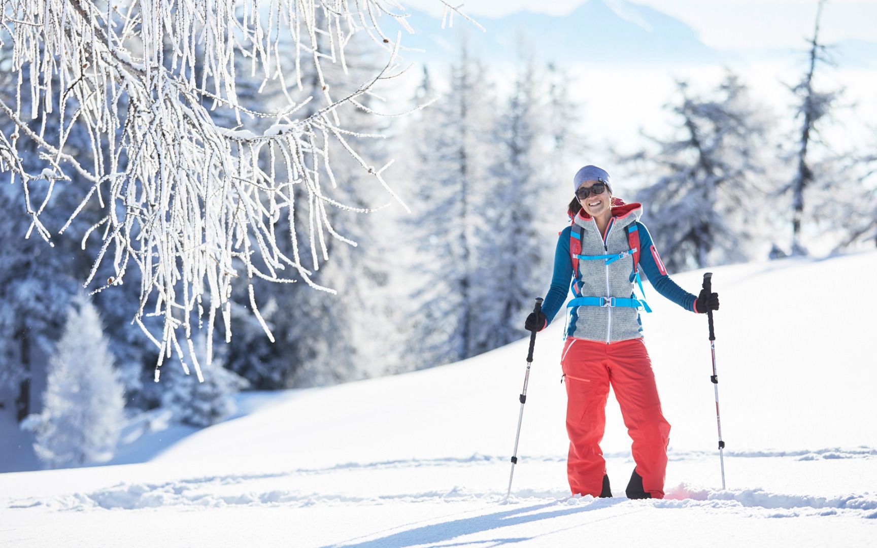
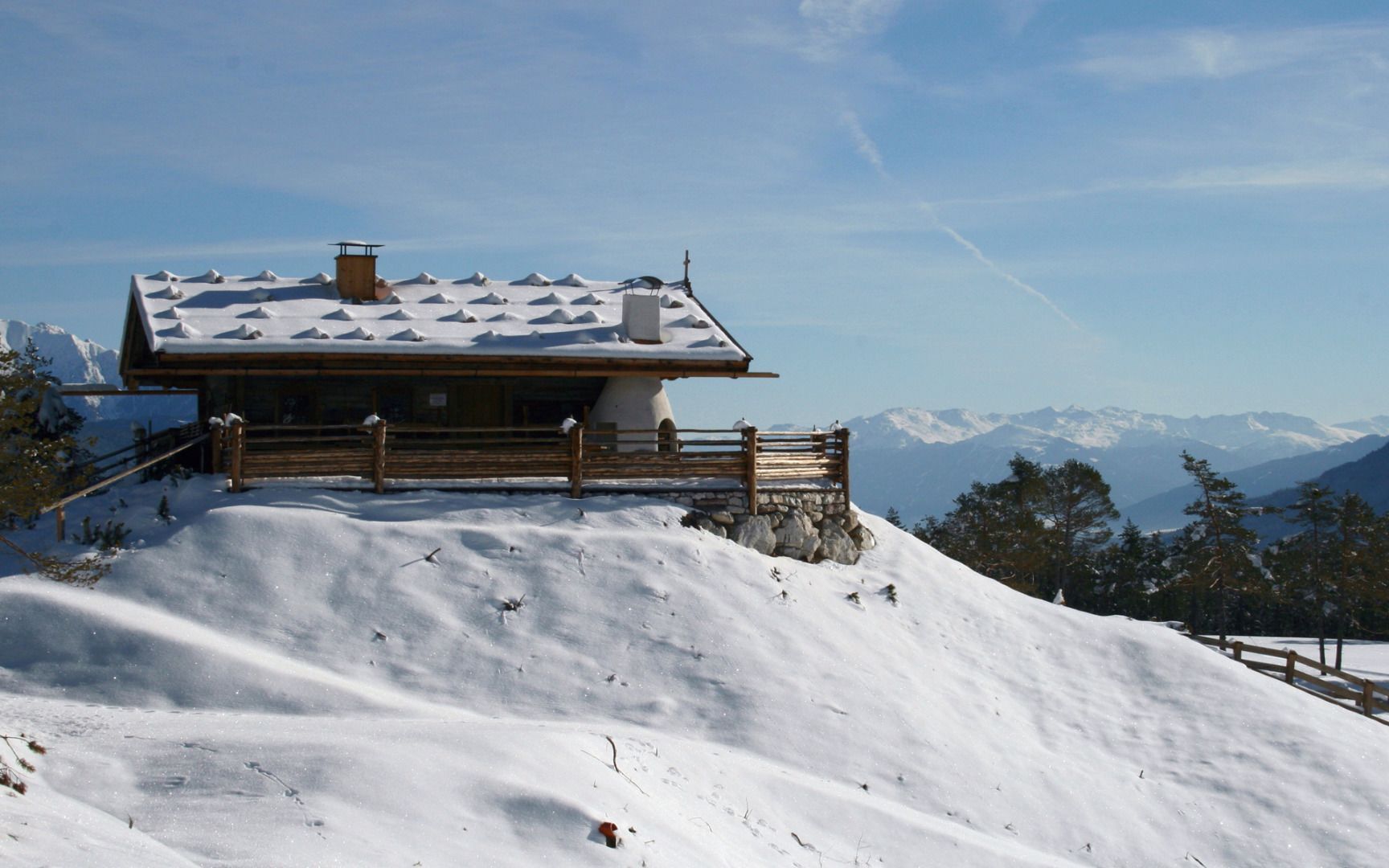
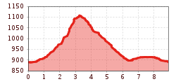
Start at the car park next to the open-air pool in Barwies and head north towards Schatzstein and Boasligbrücke (Obermieming). The trail increases in steepness up to the Boasligbrücke bridge, which will then take you across the Stöttlbach stream. On the other side of the stream, take the path down into the valley, before passing the Stöttlalm alpine hut and continuing on to the Lehnbach car park. From here, it's a circuit along the Sonnenplateau above the village until you arrive back in Barwies and the starting point.
You reach the starting point via the Inntal valley. At Telfs or Mötz you drive onto the Mieminger Plateau and on to Mieming. There you follow the signs to the Waldschwimmbad swimming pool. There is a car park where you can park your car. Bus 350 or 355 - stop "Barwies Kirche" (approx. 15 minutes' walk to the starting point of the Waldschwimmbad car park) www.vvt.at


