Mountain hikes Bruck valley walk

Bruck am Ziller / Kitzbühel Alps
Difficulty ratings: easy
Route length: 5.7 km
Duration: 1:30 h

Bruck valley walk

Tour information

  • Requirement: easy
  • Length: 5.7 km
  • Duration: 1:30 h
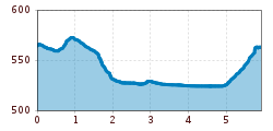
  • Elevation uphill:65 hm
  • Elevation downhill:65 hm
Highest point580 m

Starting point

Community hall Bruck (Gemeindehaus), Dorf 40a 6260 Bruck am Ziller

Finishing point

Community hall Bruck (Gemeindehaus), Dorf 40a 6260 Bruck am Ziller

Features

  • Suitable for families
  • suitable for pushchairs

Best time of year

  • January
  • February
  • March
  • April
  • May
  • June
  • July
  • August
  • September
  • October
  • November
  • December
Source: Zillertal Tourismus GmbH

Description

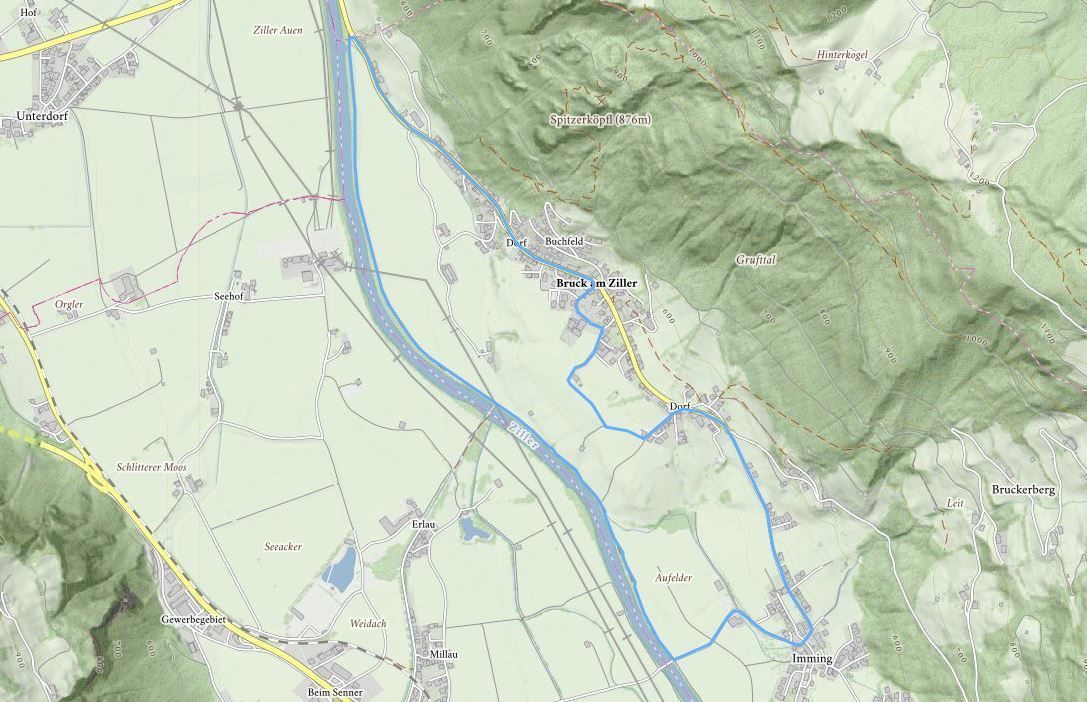
Starting from the Municipal office, this trail leads into the valley, past the Wetterkreuz cross, and through the meadows until you reach the district of Imming. Go through the district of Imming towards Schlitters – before the Ziller bridge, turn right on to the Zilleruferweg (Ziller bank path). Follow the footpath as far as the outskirts of 
Bruck. Then take the Dorfstrasse back to the centre of the village.

Weather

Today

mainly clear
24°C/11°C
25%0l5 km/h

Thu

light rain showers
23°C/12°C
55%1.5l5 km/h

Fri

clear sky
25°C/10°C
5%0l5 km/h
Go to weather forecast

More tours in the surrounding area

Newsletter

The mountain is calling? So does our newsletter!

In our monthly newsletter we reveal the best holiday tips for Tyrol.