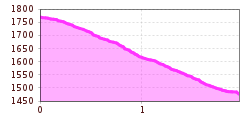
Open interactive mapOpen this POI on the interactive mapElevation profileDownloadGedirgeweg nach Fiss.gpx
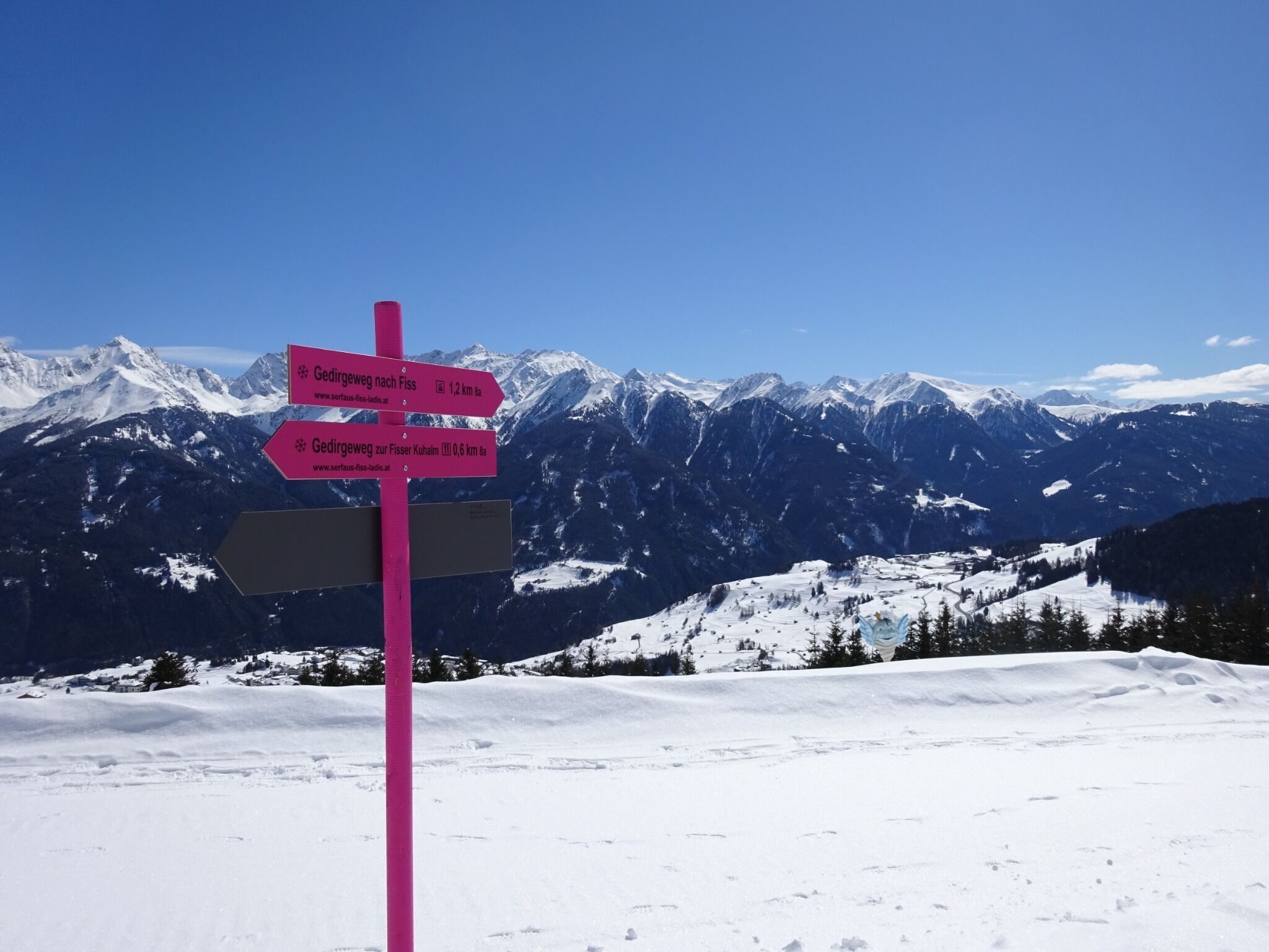
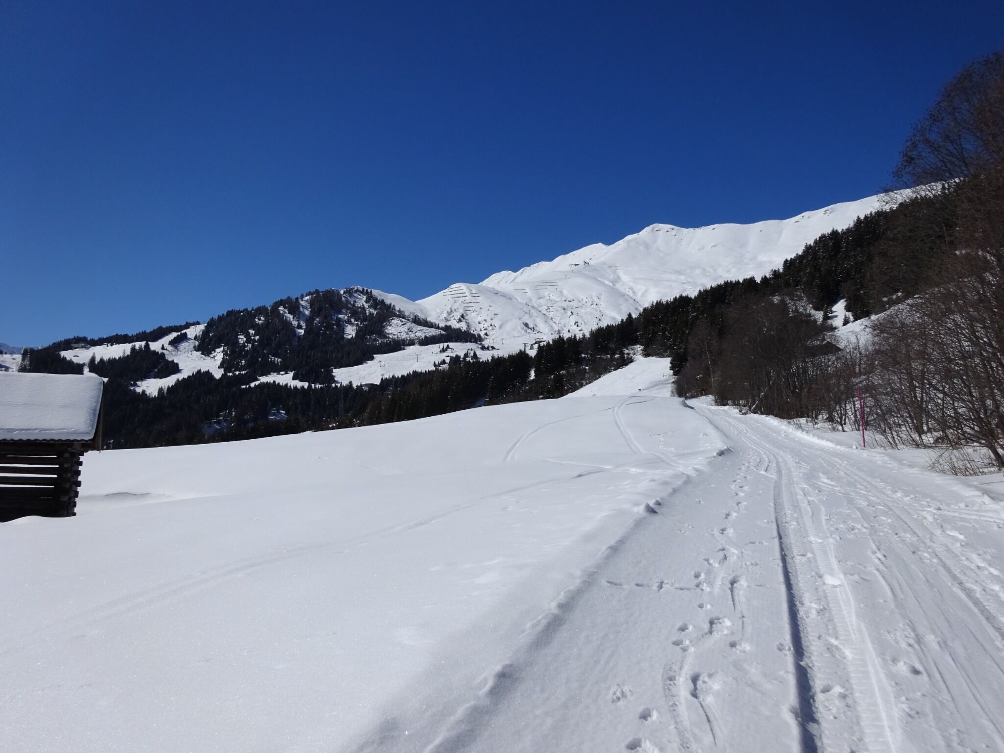
DescriptionThe trail starts just beneath the Kuh Alm Fiss restaurant and the toboggan run. From there, follow the signs via the Gerdirgewiesen meadows to Fiss.
Kuh Alm Opening hours:Open todayPlace:Fiss:Alpine pasture / hut / mountain restaurantsee restaurant detailssee restaurant details: Kuh Alm
Winterwandern in der Naturparkregion Reutte © Peter Neusser Hike to the Ehrenberg castle ruinsDifficulty:mediumLength:5.1 kmDuration:1:45 hElevation uphill:237 mGo to winter hikeGo to winter hike: Hike to the Ehrenberg castle ruins
Frauenseestube Luftbild © Robert Eder Winter Hike to Lake Frauensee from LechaschauDifficulty:easyLength:7.2 kmDuration:2:30 hElevation uphill:122 mGo to winter hikeGo to winter hike: Winter Hike to Lake Frauensee from Lechaschau
Vilser Alm im Winter © Robert Eder Winter walk to the Vilser Alm hutDifficulty:mediumLength:6.6 kmDuration:2:30 hElevation uphill:348 mGo to winter hikeGo to winter hike: Winter walk to the Vilser Alm hut
Ehenbichler Alm © Robert Eder, Naturparkregion Reutte Winter walk to the Ehenbichler Alm hutDifficulty:difficultLength:6.5 kmDuration:4:00 hElevation uphill:640 mGo to winter hikeGo to winter hike: Winter walk to the Ehenbichler Alm hut
Bergdoktor-Winter Hiking TrailDifficulty:easyLength:2.1 kmDuration:0:45 hElevation uphill:40 mGo to winter hikeGo to winter hike: Bergdoktor-Winter Hiking Trail
Winter- und Schneeschuhwandern (c) Mirja Geh (26).jpg © Mirja Geh At the foot of Fleischbank and TotenkirchlDifficulty:easyLength:9.3 kmDuration:3:00 hElevation uphill:250 mGo to winter hikeGo to winter hike: At the foot of Fleischbank and Totenkirchl
Lichter-Weg am Seefelder Pfarrhügel © Region Seefeld 100.000 Lights PathOpening hours:closedDifficulty:easyLength:1.7 kmDuration:0:30 hElevation uphill:30 mGo to winter hikeGo to winter hike: 100.000 Lights Path
Winter hiking Fieberbrunn - Zillstatt - StreubödenOpening hours:closedDifficulty:mediumLength:13.0 kmDuration:4:30 hElevation uphill:550 mGo to winter hikeGo to winter hike: Winter hiking Fieberbrunn - Zillstatt - Streuböden
Wildschönau Niederau Foisching © Hannes Dabernig Niederau - Foisching HutDifficulty:easyLength:6.5 kmDuration:2:15 hElevation uphill:253 mGo to winter hikeGo to winter hike: Niederau - Foisching Hut
Wildschönau Niederau Markbachjoch Kapelle Winter.jpg © Wildschönau Tourismus Winterwanderung Markbachjoch - NiederauDifficulty:mediumLength:10.5 kmDuration:4:00 hElevation uphill:56 mGo to winter hikeGo to winter hike: Winterwanderung Markbachjoch - Niederau
Schneeschuhwanderung © Bernd Ritschel Circular hiking trail Horlachtal - NiederthaiOpening hours:closedDifficulty:easyLength:6.9 kmDuration:2:00 hElevation uphill:233 mGo to winter hikeGo to winter hike: Circular hiking trail Horlachtal - Niederthai
Wurzbergalm © Ötztal Winter walk to the Wurzbergalm hut in UmhausenOpening hours:closedDifficulty:easyLength:2.4 kmDuration:1:00 hElevation uphill:199 mGo to winter hikeGo to winter hike: Winter walk to the Wurzbergalm hut in Umhausen
winterwander-kappl-see-2019 (83).jpg © TVB Paznaun-Ischgl 01 "Weiße Weiten” (White Vistas) winter long-distance trailDifficulty:mediumLength:52.7 kmDuration:14:00 hElevation uphill:1,579 mGo to winter hikeGo to winter hike: 01 "Weiße Weiten” (White Vistas) winter long-distance trail
Ellmau_Biedringer Platte_Winterwanderung_Wilder Kaiser © TVB Wilder Kaiser/Maria Luise Handl Winter walking Biedringer PlatteOpening hours:closedLength:12.7 kmDuration:5:30 hElevation uphill:470 mGo to winter hikeGo to winter hike: Winter walking Biedringer Platte
Flusserlebnis Grossache © www.MirjaGeh.com Scenic River Trail GroßacheDifficulty:easyLength:14.3 kmDuration:3:30 hElevation uphill:20 mGo to winter hikeGo to winter hike: Scenic River Trail Großache
Filzenkogel winter walk in MayrhofenDifficulty:mediumLength:3.6 kmDuration:1:30 hElevation uphill:250 mGo to winter hikeGo to winter hike: Filzenkogel winter walk in Mayrhofen
winterwandern17-kartitsch-c-tvb-osttirol-bergimbild.jpg © BergimBild HollbruckertalwegOpening hours:closedDifficulty:mediumLength:3.1 kmDuration:1:30 hElevation uphill:80 mGo to winter hikeGo to winter hike: Hollbruckertalweg
Winter Walking on the Sunny Mieming PlateauDifficulty:easyLength:9.0 kmDuration:2:30 hElevation uphill:140 mGo to winter hikeGo to winter hike: Winter Walking on the Sunny Mieming Plateau
Genuss Route Winter Hiking Trail Mieming PlateauDifficulty:mediumLength:11.8 kmDuration:3:30 hElevation uphill:170 mGo to winter hikeGo to winter hike: Genuss Route Winter Hiking Trail Mieming Plateau
winterwanderweg rotes wandl - nr. 431_img_56893137 © Ötztal Tourismus Büro Oetz Winter hiking trail Rotes Wandl - No. 431Opening hours:openDifficulty:easyLength:1.5 kmDuration:0:45 hElevation uphill:52 mGo to winter hikeGo to winter hike: Winter hiking trail Rotes Wandl - No. 431
Seekirchl Seefeld im Winter © Region Seefeld Complete Route for the Seefeld High Plateau Winter Multi-day HikeOpening hours:closedDifficulty:mediumLength:65.2 kmElevation uphill:1,157 mGo to winter hikeGo to winter hike: Complete Route for the Seefeld High Plateau Winter Multi-day Hike
Winter hike St. Ulrich a.P. Lake circuit - AdolariDifficulty:easyLength:5.0 kmDuration:1:15 hGo to winter hikeGo to winter hike: Winter hike St. Ulrich a.P. Lake circuit - Adolari
Winterwandern Kaisertal Winter Schnee Premium © Oliver Soulas / Tirol Werbung Premium Winter Hiking Trail – Kaisertal ValleyOpening hours:openDifficulty:mediumLength:8.2 kmDuration:3:00 hElevation uphill:370 mGo to winter hikeGo to winter hike: Premium Winter Hiking Trail – Kaisertal Valley
Winter walk at Rauher Kopf, Kirchberg in TirolDifficulty:mediumLength:13.0 kmDuration:5:00 hElevation uphill:600 mGo to winter hikeGo to winter hike: Winter walk at Rauher Kopf, Kirchberg in Tirol
Winter hiking Hochfilzen - HoametzlhütteDifficulty:mediumLength:8.1 kmDuration:2:45 hElevation uphill:222 mGo to winter hikeGo to winter hike: Winter hiking Hochfilzen - Hoametzlhütte
Give feedback for a chance to win a special holiday experience!Click here for the surveyClick here for the survey