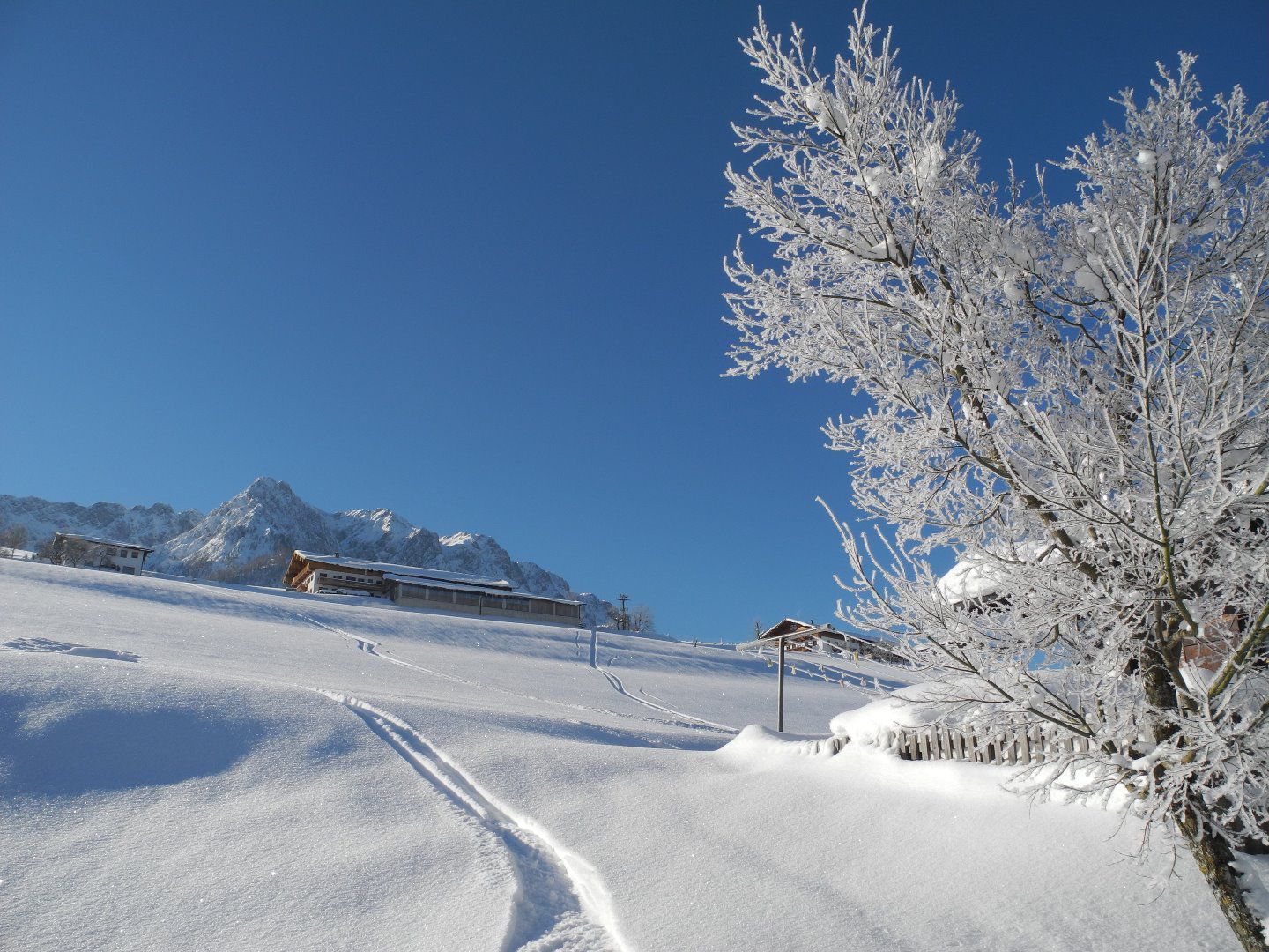
Winter hike Hochbergrunde

Walchsee / Kaiser Mountains
Difficulty ratings: easy
Route length: 7.6 km
Duration: 2:30 h

Trail Nr. 88

Tour information

  • Requirement: easy
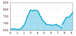
  • Length: 7.6 km
  • Duration: 2:30 h
  • Elevation uphill:157 hm
  • Elevation downhill:147 hm
Highest point803 m

Starting point

Tourist Office Walchsee

Finishing point

Tourist Office Walchsee

Features

  • Circular route
  • Suitable for families

Trail condition

Asphalt, gravel road

Equipment

Breathable outdoor clothing, sturdy shoes, snacks and drinks, sun protection (sunglasses, sunscreen, and a hat), rain gear, cash; guest card if using the bus.
Source: TVB Kaiserwinkl

Description

Start: Walchsee Information Office; head west, then turn left after the pizzeria and cross the Ramsbach Bridge. Pass behind the tennis courts until you reach Seestraße, then continue left until the Lippenalm turnoff (closed).
At the parking lot, keep right through Hochberg to the Durchholzen neighborhood.
Return to the starting point by public bus or on foot, following the main road until you reach the fork on the right toward Amberg / the Öd district, then back to the starting point.

Getting here

  • Arrival by public transport

    Take bus to Walchsee Durchholzen.

  • Parking

    At one of the parking lots in Walchsee.

Weather

Today

mainly clear
25°C/13°C
5 km/h
Snow depth
Now: 0 cm,
Next snowfall: No data available
Go to weather forecast
Newsletter

The mountain is calling? So does our newsletter!

In our monthly newsletter we reveal the best holiday tips for Tyrol.