
Nr.: 13,14
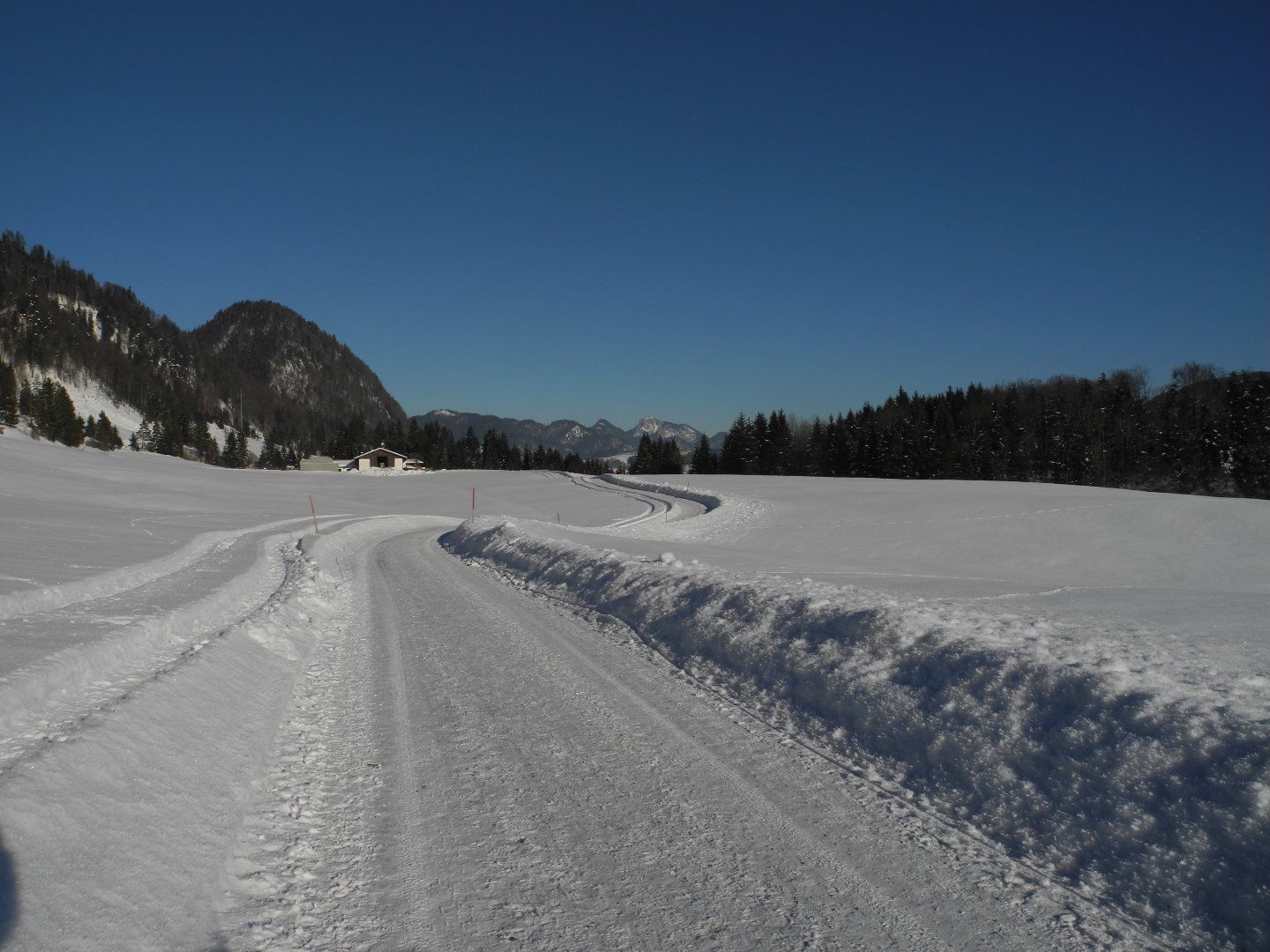
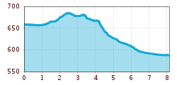
From Walchsee toward Kössen to the Trachtenstube Achorner in Kranzach. Before reaching the Trachtenstube, turn left and follow the path past several farms to the hamlet of Gundharting. Cross the state highway to Kössen and walk through the Mooslenz neighborhood to the Anna Chapel. Keep left before the bridge at the Brennerwirt. After the underpass, turn right onto the lakeside path to the Staffen Bridge and the Kössen Information Office. From the Information Office, head south to the Bruckwirt Bridge; at the roundabout here, turn right onto the side road to the Waidachstube. Here, turn left toward the Brennerwirt; turn left here and continue to the golf course, then follow the signs to Bichlach. From the Riedlwirt, follow the slightly ascending paved road to the left, passing the Lehen and Huttenbichl farms, until you reach the Walchsee highway. From here, continue to the Trachtenstube; turn left here and follow the winter hiking trail along the lake to the Walchsee information office. This route can also be taken from Kössen.

