

Opening hours:Today closed
Place:Söll
:Restaurant
A short, scenic walk through the sunny countryside above Söll.
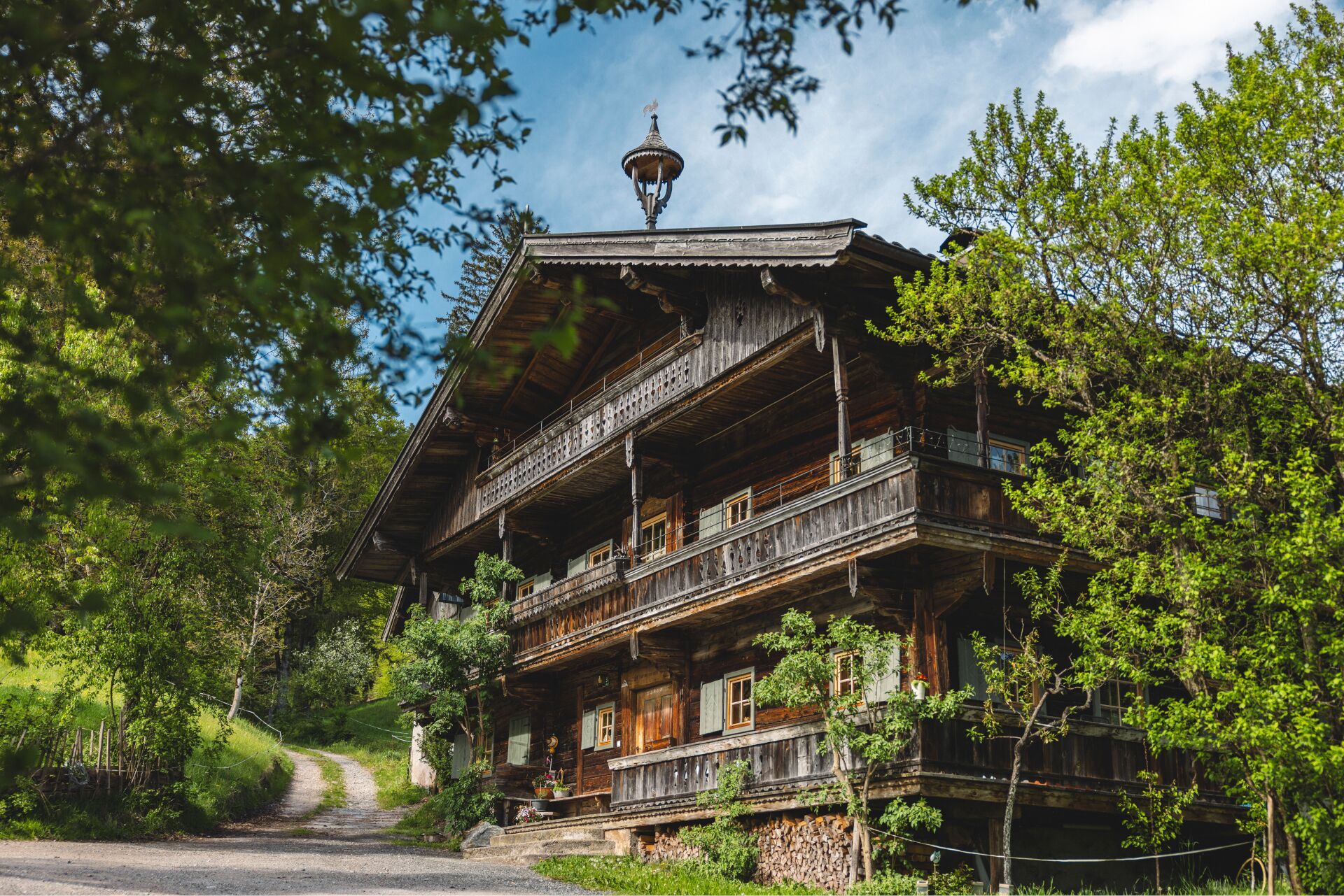
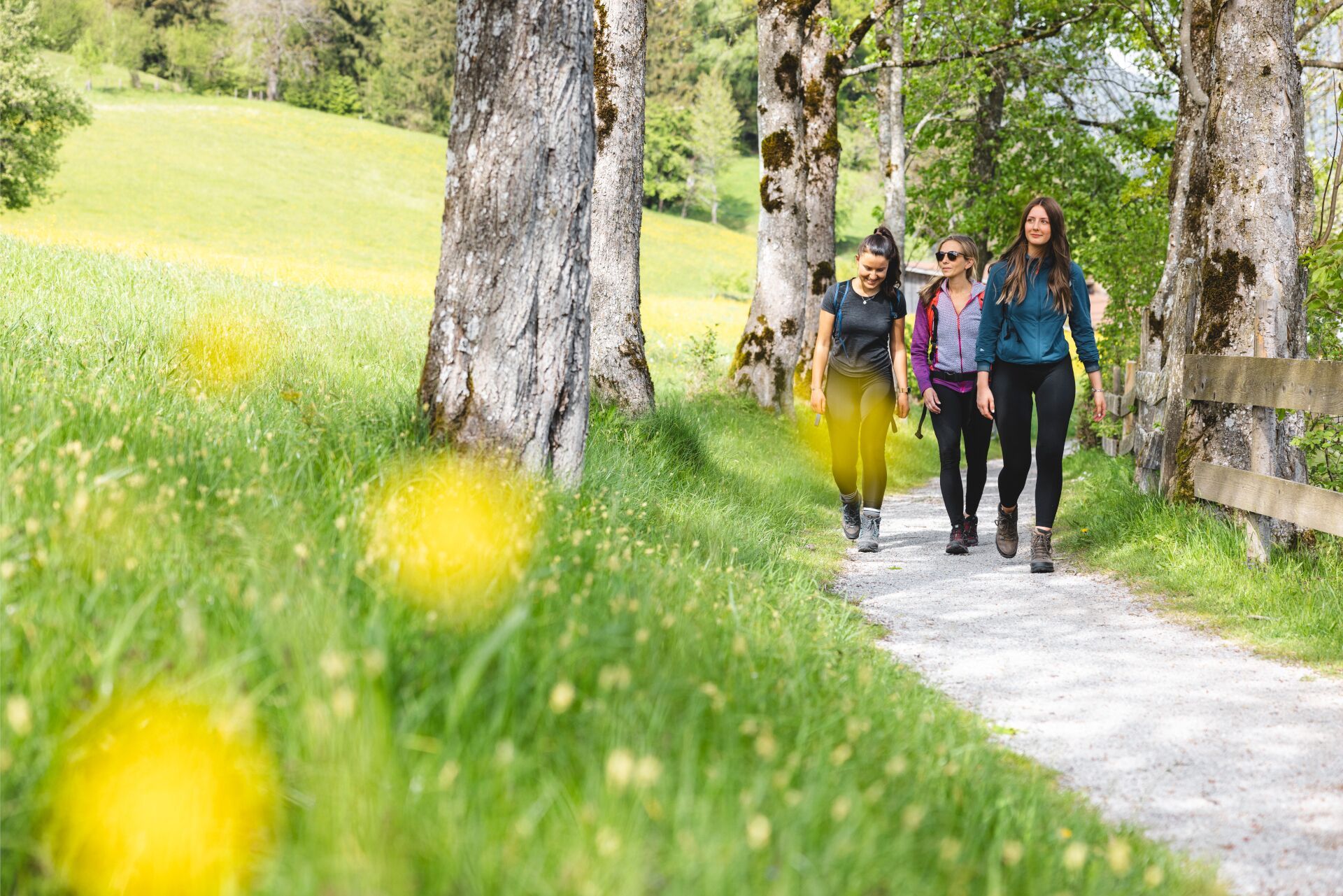
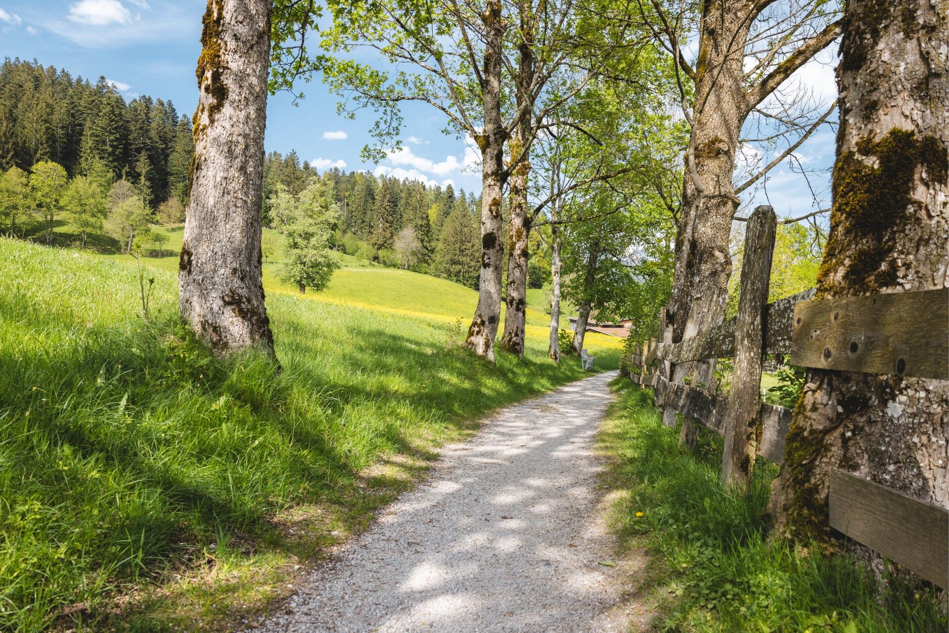

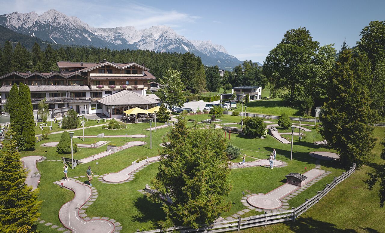
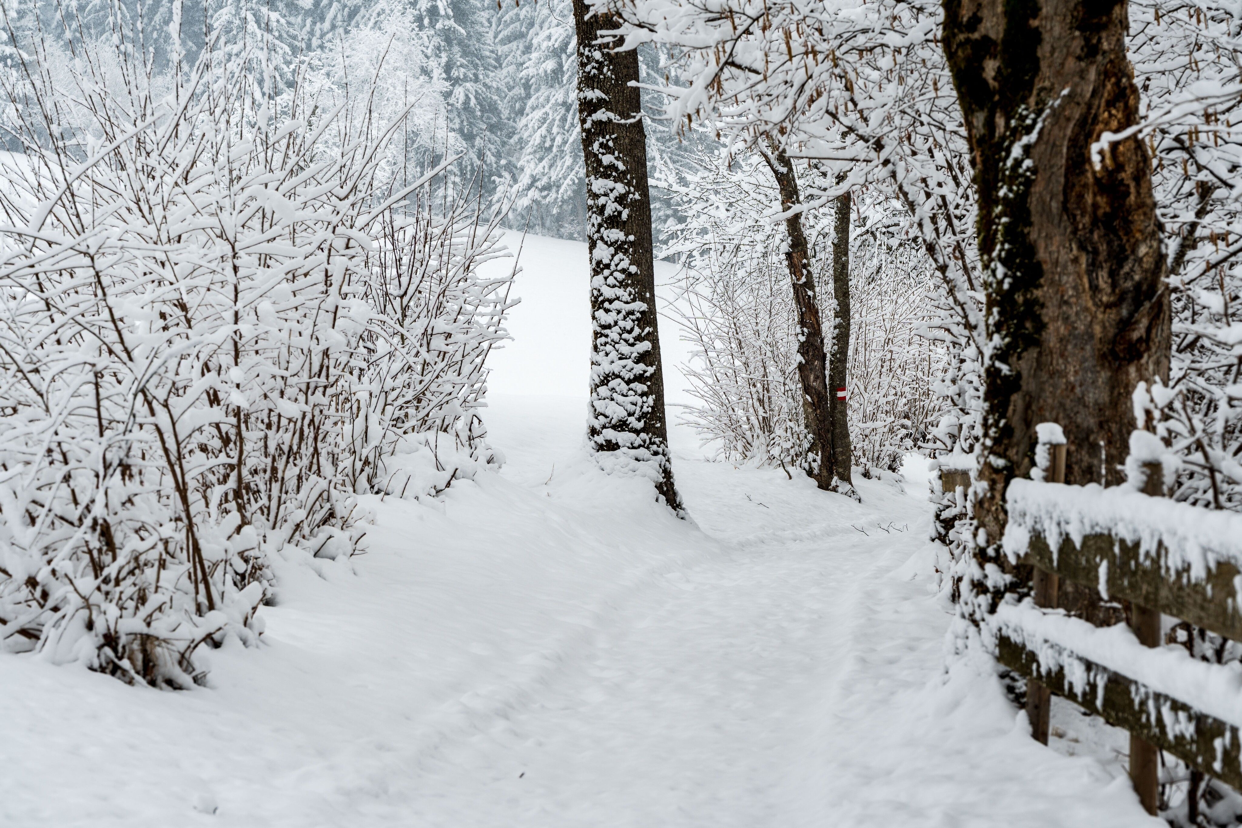
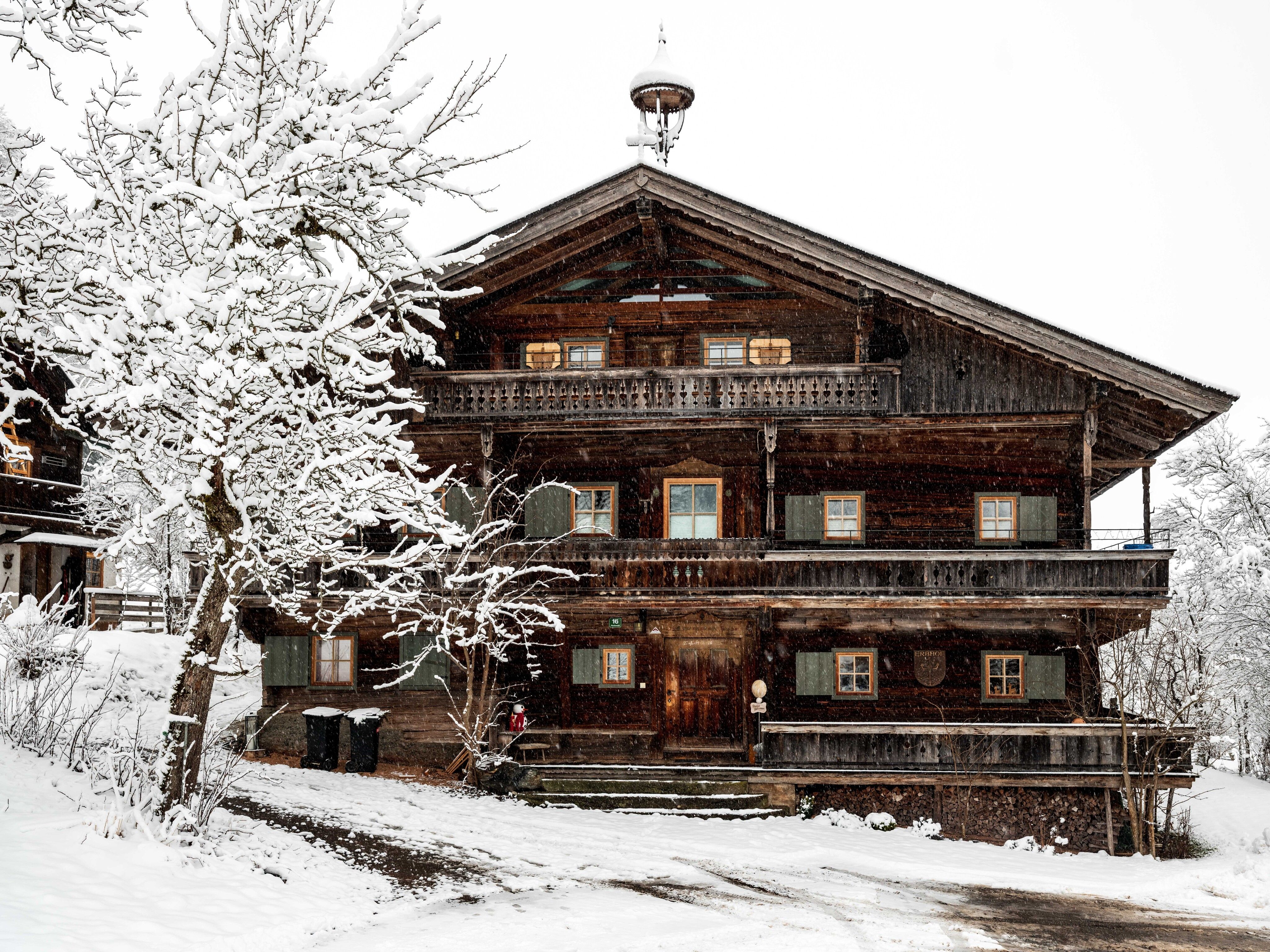
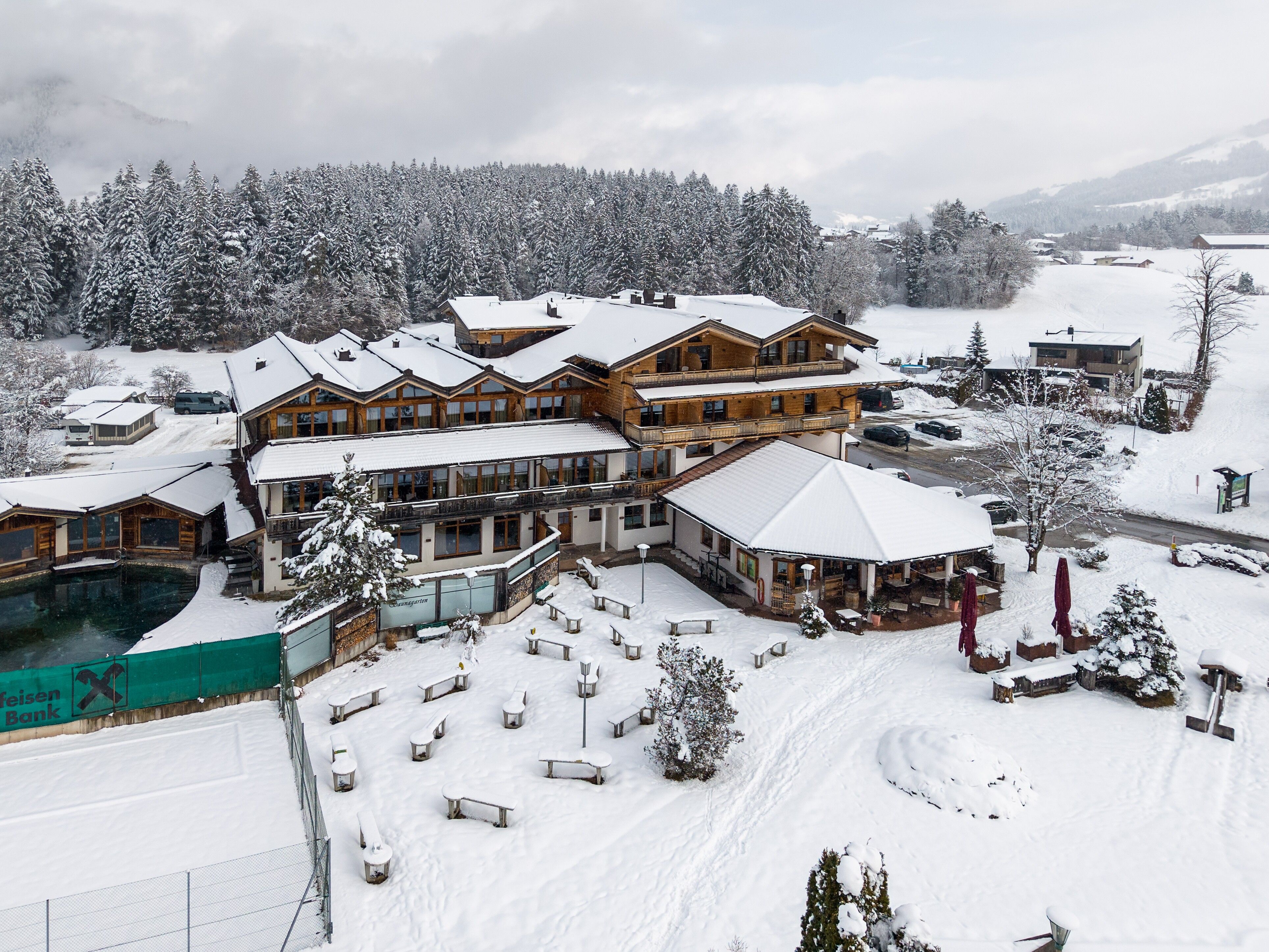
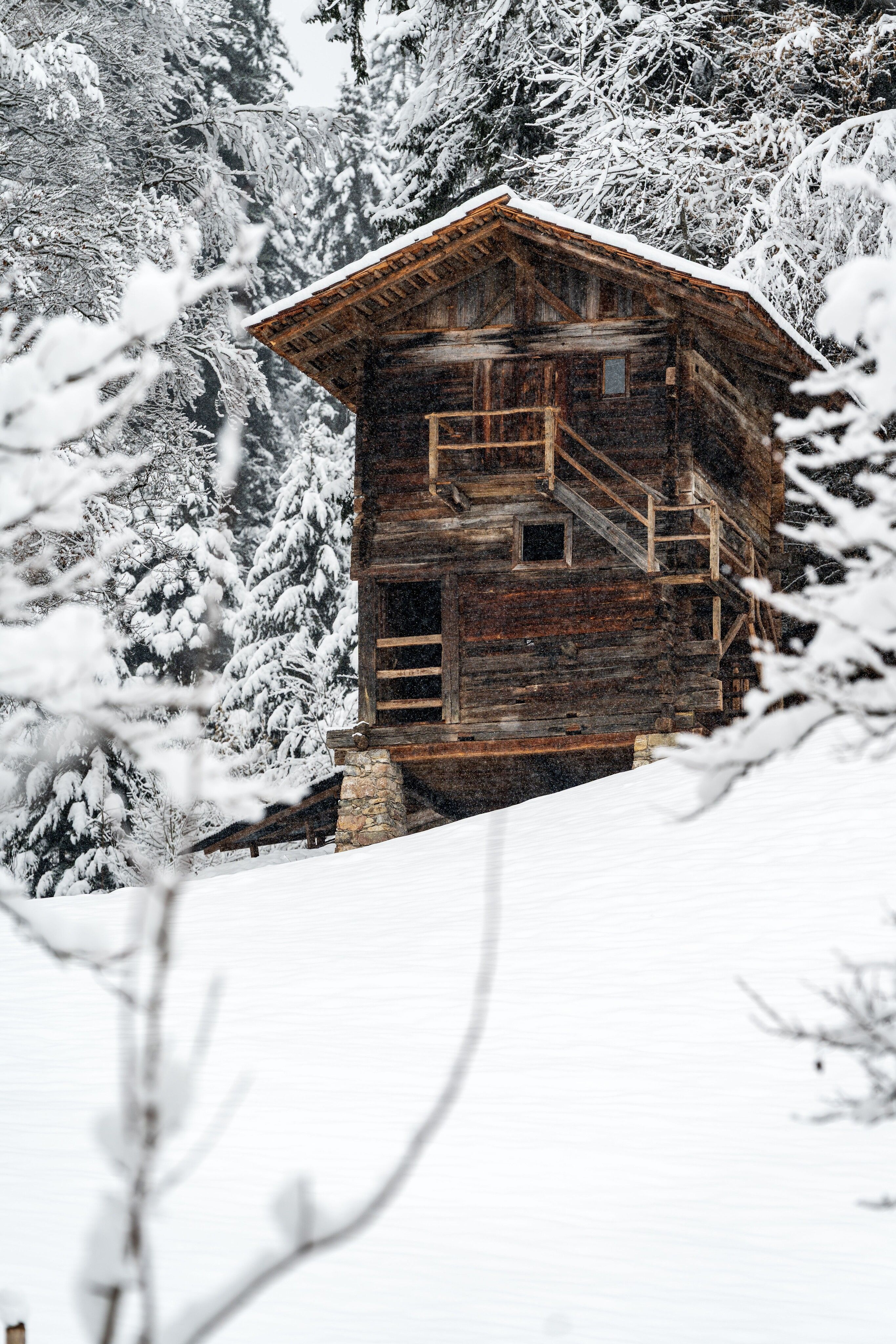

From the Söll Tourist Information Office, the route first passes the Hotel Postwirt and continues through the pedestrian zone. At the end of the pedestrian zone, turn left and walk past AnDa’s – Konditorei & Restaurant and the bandstand. At the next intersection, turn right and head uphill into the Pirchmoos district.
The road continues to the Pirchmoos Chapel. There, turn right onto the field path and walk past the Oberkollerhof. The route then continues straight ahead to the Franzlbankei. It’s worth taking a short break here to enjoy the beautiful view over Söll and the Hohe Salve.
From the Franzlbankei, follow the road downhill toward the Franzlhof. Passing the Franzlhof on the right, the trail leads back to the center of Söll and to the starting point at the Tourist Information Office.
KaiserJet/Postbus stop “Söll Dorf”. More information at: www.wilderkaiser.info
Heading from Wörgl, Kufstein or St. Johann on the B178 road, take the exit to Söll and then take the exit to Söll centre (“Söll, Zentrum”) at the roundabout. Turn left immediately afterwards and follow the road. Then turn right at the next intersection (opposite SPAR supermarket). West Pölven public car park is located to the east of the supermarket car park. The Tourist Info is in the pedestrianised zone.
West Pölven public car park, Söll (689 m) – free


