
Difficulty:medium
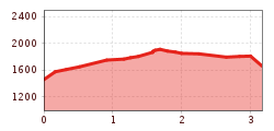
Length:6.0 kmDuration:4:00 hElevation uphill:500 m
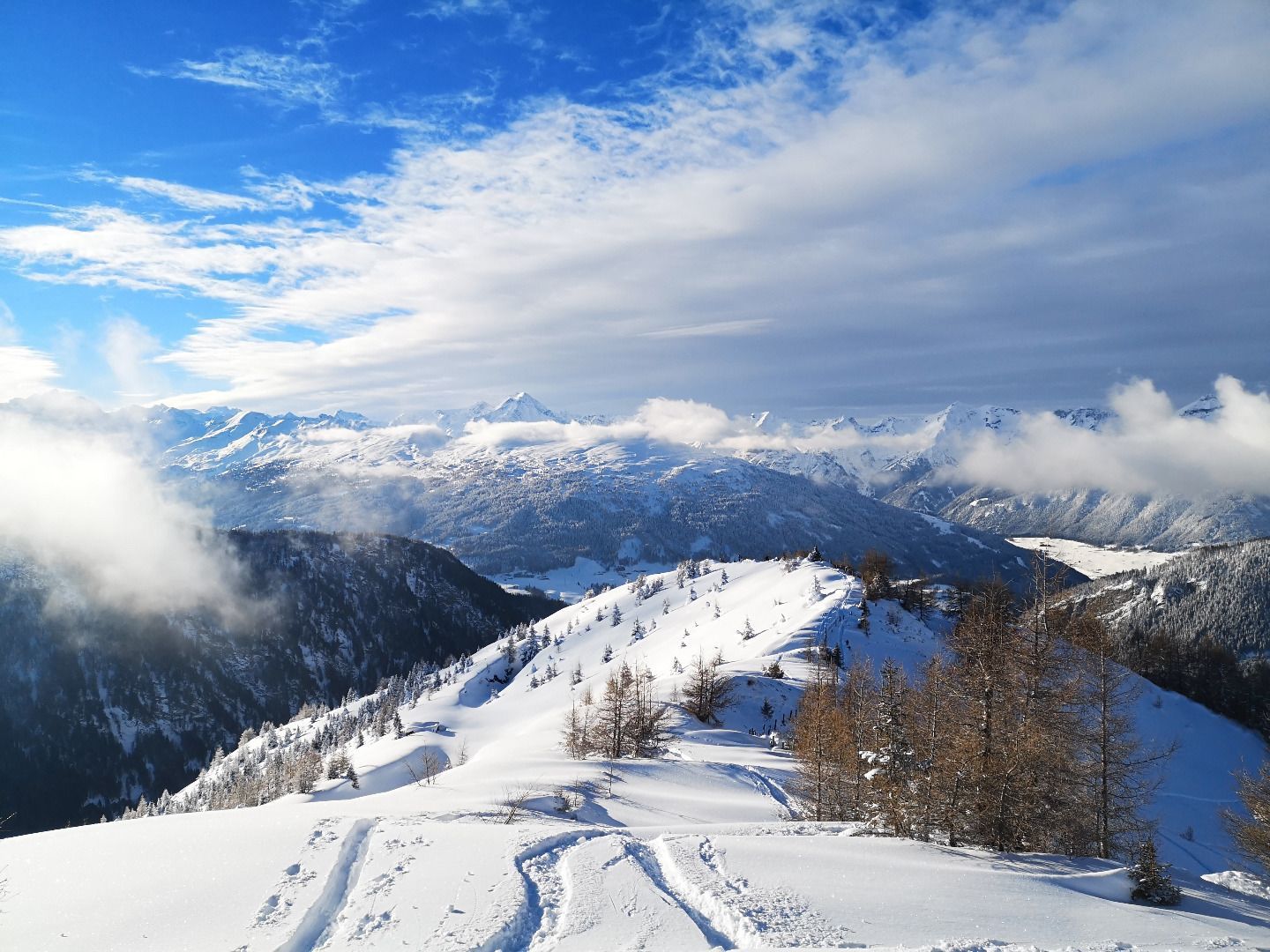
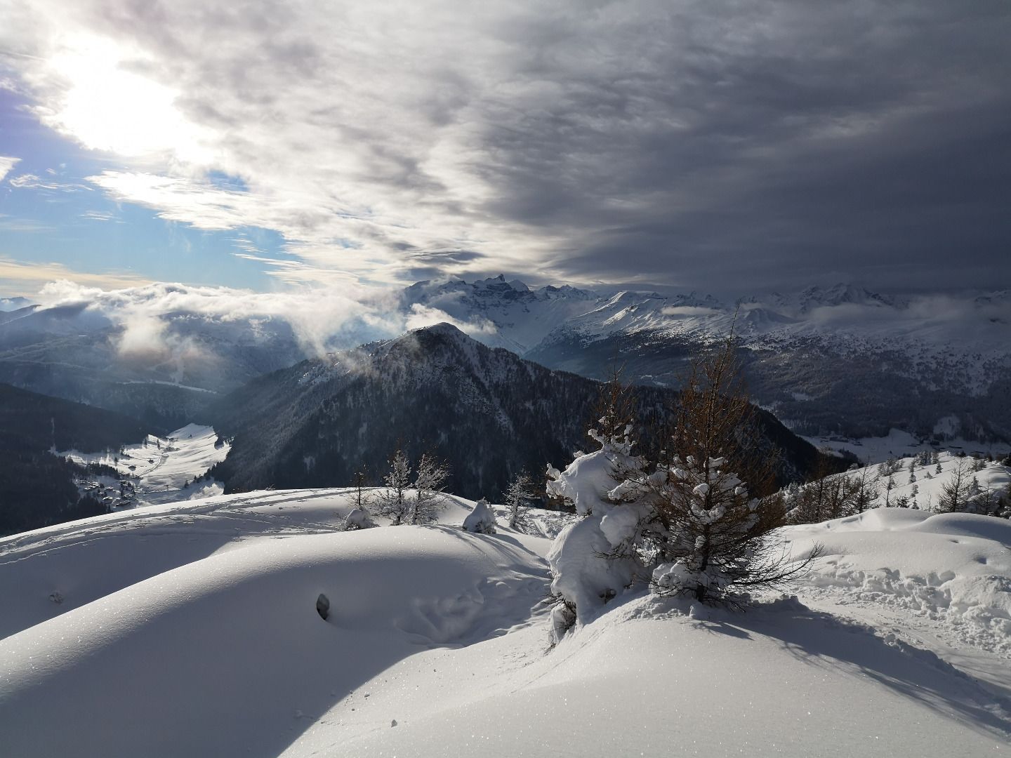
An easy tour at the entry of the Schmirntal valley.
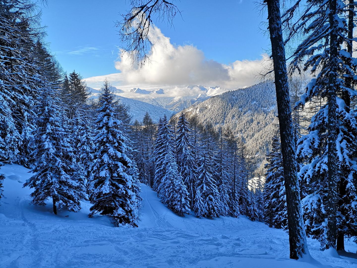
The ascent begins at Lorleswald near Muchnersiedlung (bus stop). At the beginning, you walk along the path that leads to the farm. At the bend, leave the path and hike upwards across the meadowland to about 1500m and then turn south-east into the forest snows created especially for ski tourers.
In the forest, you climb higher, crossing the forest road several times, until you reach a light forest section to the south and then hike in a slight curve to the forest border and the mountain ridge. At the top, turn east towards the summit.
The descent follows the same path as the ascent did.
