

Opening hours:closed
Difficulty:medium
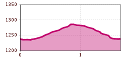
Length:3.1 kmDuration:1:30 hElevation uphill:80 m

Basic equipmentformountainhikingincludessturdy hiking bootswith a goodtread, a 30-35 literbackpack, and functionalclothingbased on thelayeringprinciple, includingsufficient spare clothes. Essential itemsare rain, cold, and sunprotection, adequatefluids and food, aswellas a first-aid kit and a charged mobile phone. A mapor a GPS devicesupportsorientation.
The informationservesas a guideline and does not claimtobe exhaustive. Equipment mustalwaysbeadaptedtothe planned route, weatherconditions, season, naturalhazards, environmental influences, and personal needs.
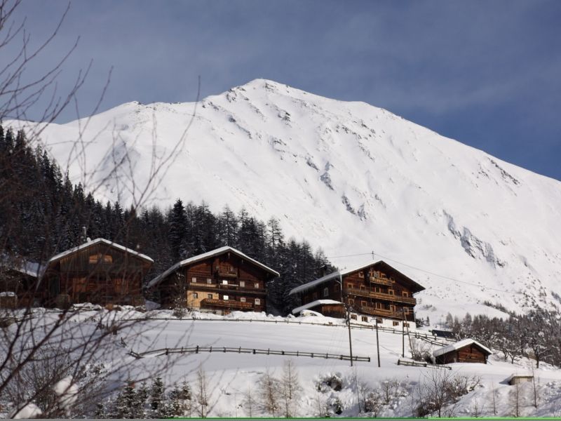
As a connecting section running between Kals/Lesach and Kals/Arnig along the Lesachbach from Knopfbrücke to Patnerbrücke in Unterlesach.


