


Difficulty:medium
Length:3.6 kmDuration:1:30 hElevation uphill:250 m
Challenging, long-distance course with a steep start, beautiful single trails and an amazing view over the valley
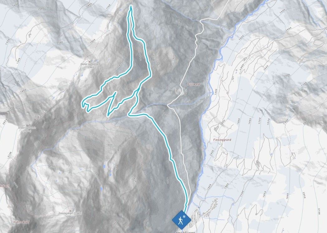
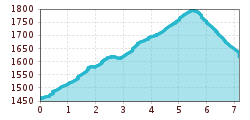
From the ski lift car park in Hochfügen, the footpath leads gently uphill along the cross-country ski trail to the junction below the Loassattel. There, turn left towards the Maschental-Alm Hochleger. Just before the alpine huts, the path branches off to the right and leads uphill at first. You then walk downhill around the Maschental-Alm until you reach the alpine buildings at a bend. Here, follow the curve of the path further downhill. At the next junction, keep left and follow the path until it rejoins the original hiking trail. Follow this familiar path back to the starting point in Hochfügen.
