

Opening hours:Today closed
Place:Serfaus
:café
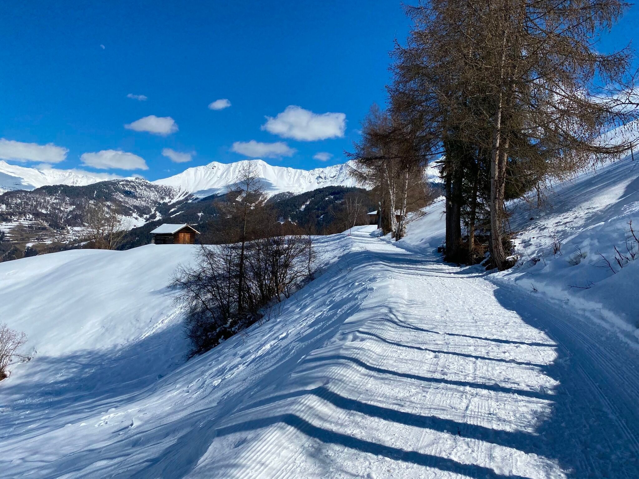
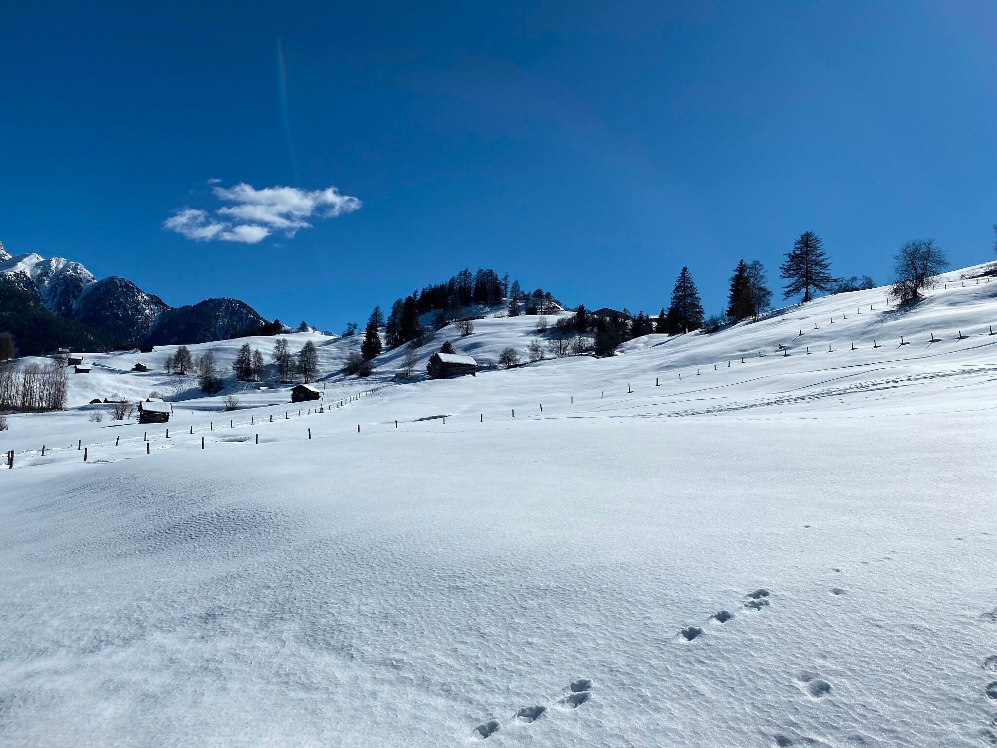
A varied hike along the Muanesweg through the landscape around Serfaus. The trail follows peaceful sections through meadows and forests, offering a pleasant connection between nature and the village.
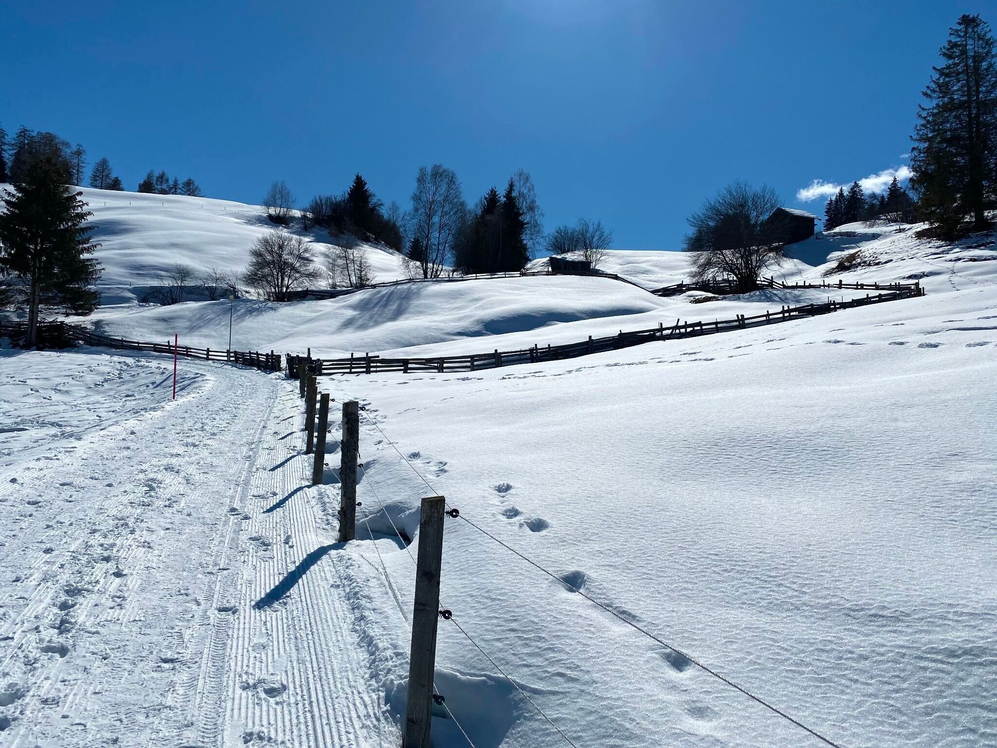
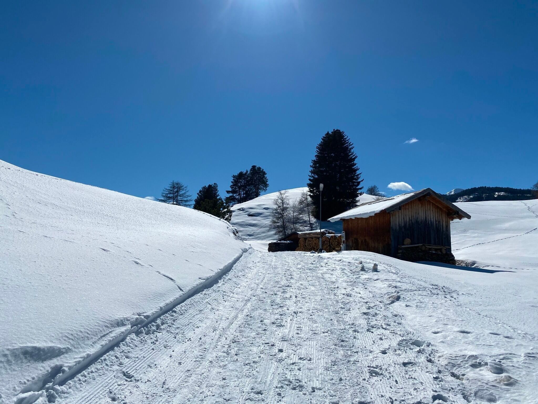
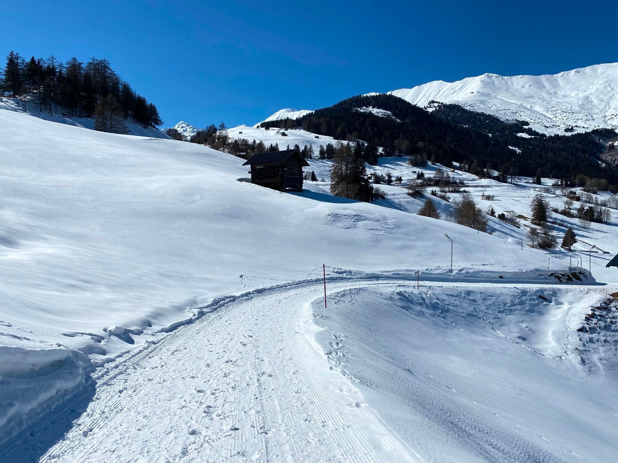
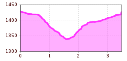
From the subway station Parkplatz (S010), a wide path begins towards the district of Fallmid (S014). At this point, a left turn leads to Serfauser Feldstraße. The path continues uphill and leads to Finesweg (S015).
Travel by train to Landeck-Zams railway station. From there, change to bus line 220 towards Serfaus-Fiss-Ladis.
By car, take the A12 to the Landeck exit, then follow the B171 and L19 towards Serfaus. Serfaus has traffic-calmed streets. Day visitors should park their cars in the car park at the entrance to the village and then take the underground to the starting point of the tour. Guests staying in Serfaus can drive right up to their accommodation.
Parking is available at the car park at the entrance to Serfaus. From there, you can take the underground railway to the village centre or the starting point of the tour.


