
Parking
By car to the VZ Kaiserwinkl in Kössen.
Directly in front of the VZ Kaiserwinkl.
Nr.: 21
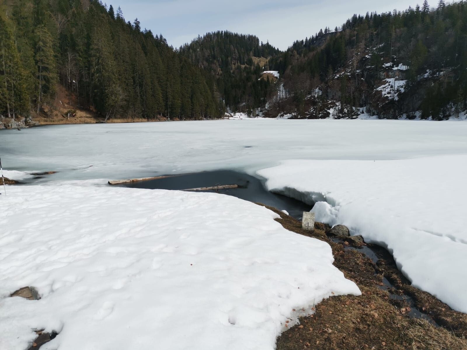
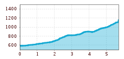
A somewhat more challenging winter hiking route. First, follow the Mühlbergweg uphill to the Hohe Brücke. From there, turn left; the trail leads through a wooded area on a steep ascent back to the Mühlbergweg. Continue left to the Schaffler farm. Here, turn left onto the winter hiking trail, which includes several steep ascents, leading to the Taubenseehütte. However, if you stay on the Mühlbergweg and continue straight ahead for a few meters, you’ll reach the Genuss am Mühlberg inn.
By car to the VZ Kaiserwinkl in Kössen.
Directly in front of the VZ Kaiserwinkl.

