Snowshoe hike Patscherkofel peak

Patsch / Tux Alps
Difficulty ratings: medium
Route length: 6.0 km
Duration: 2:15 h

Patscherkofel peak

Tour information

  • Requirement: medium
  • Length: 6.0 km
  • Duration: 2:15 h
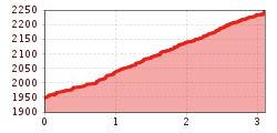
  • Elevation uphill:290 hm
  • Elevation downhill:290 hm
Highest point2,250 m

Starting point

Patscherkofel cable car – mountain station

Finishing point

Patscherkofel peak

Best time of year

  • January
  • February
  • March
  • April
  • May
  • June
  • July
  • August
  • September
  • October
  • November
  • December
Source: Innsbruck Tourismus

Description

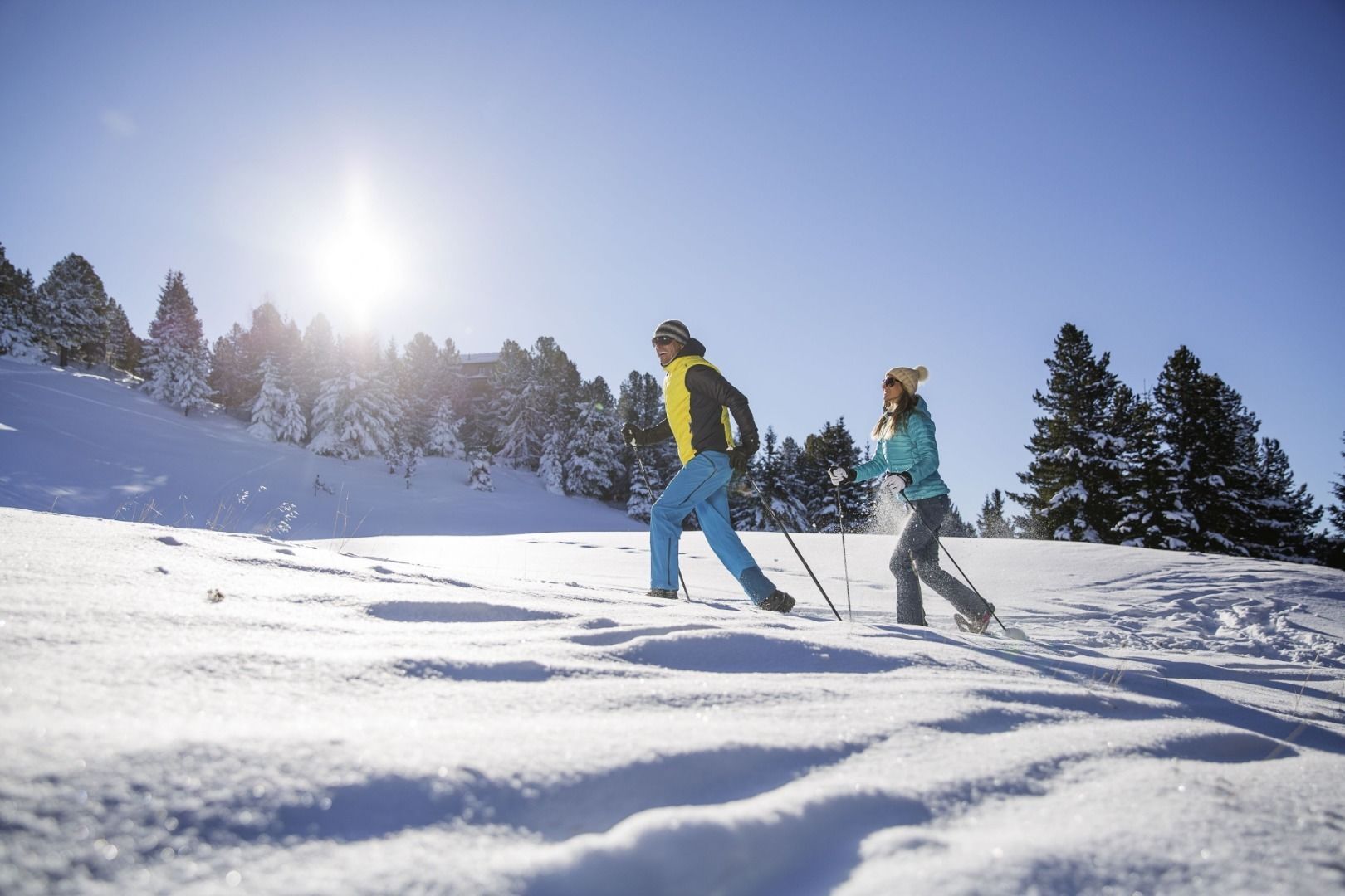
The snowshoe hike begins at the Patscherkofelbahn mountain station at nearly 2,000 meters above sea level.From there, follow the ski tour route signs southward to the summit of Patscherkofel.This moderate trail offers winter and snowshoe hikers beautiful views.At the summit, you'll be rewarded with a breathtaking 360-degree panorama of the Tyrolean Alps.The Gipfelstube, located at 2,248 meters, provides a cozy spot to enjoy traditional cuisine and homemade delicacies.The return journey follows the same path as the ascent.The round-trip distance is approximately 6 kilometers.

Nearby huts and mountain restaurants

Weather

Today

clear sky
28°C/13°C
5 km/h
Snow depth
Now: 0 cm,
Next snowfall: No data available
Go to weather forecast

More tours in the surrounding area

Newsletter

The mountain is calling? So does our newsletter!

In our monthly newsletter we reveal the best holiday tips for Tyrol.