
Arrival by public transport
Mit dem Bus bis zur Haltestelle "Innervillgraten Tischlerei Lanser"
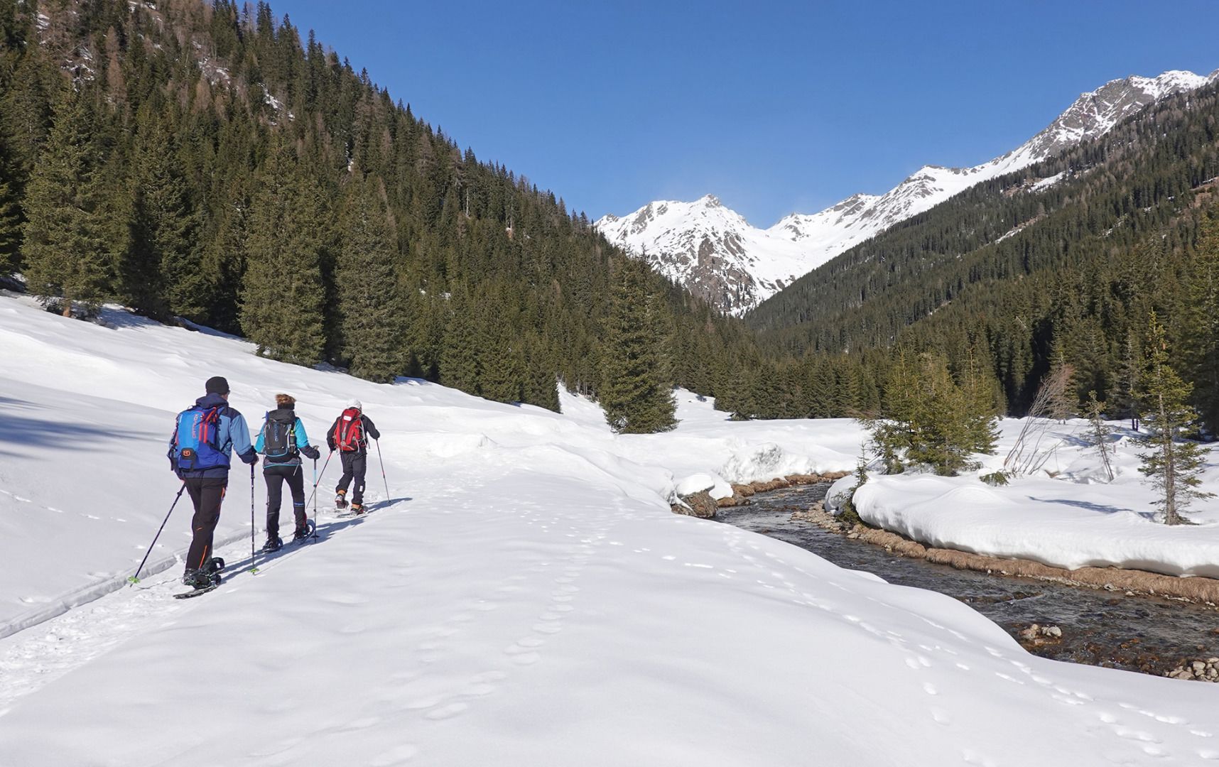
Basic equipmentformountainhikingincludessturdy hiking bootswith a goodtread, a 30-35 literbackpack, and functionalclothingbased on thelayeringprinciple, includingsufficient spare clothes. Essential itemsare rain, cold, and sunprotection, adequatefluids and food, aswellas a first-aid kit and a charged mobile phone. A mapor a GPS devicesupportsorientation.
The informationservesas a guideline and does not claimtobe exhaustive. Equipment mustalwaysbeadaptedtothe planned route, weatherconditions, season, naturalhazards, environmental influences, and personal needs.
Via Klamperplatz on the municipal road walk for around 20 minutes, passing the Walcheggerhof and Noltnerhof. Just after Noltnerhof leave the municipal road on the right (barrier) and proceed via the Alpine and woodland trails via several hairpin bends up to Prantekammern.
Mit dem Bus bis zur Haltestelle "Innervillgraten Tischlerei Lanser"
Mit dem Auto bis zum Zentrum Innervillgraten
Parkplatz Zentrum Innervillgraten
