

Difficulty:medium
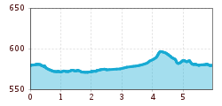
Length:3.6 kmDuration:1:30 hElevation uphill:250 m
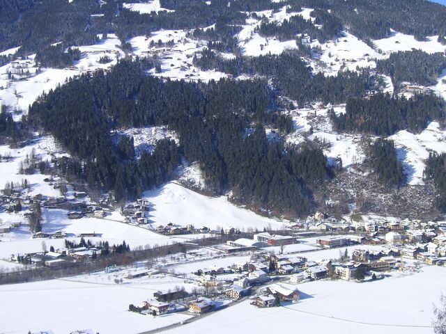
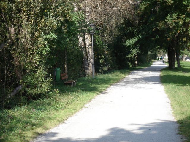
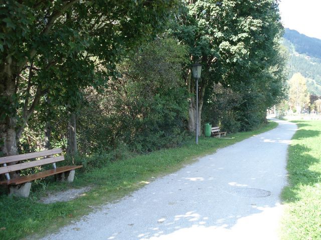
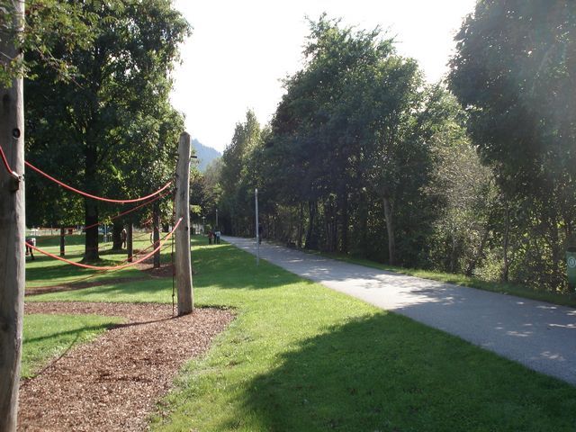
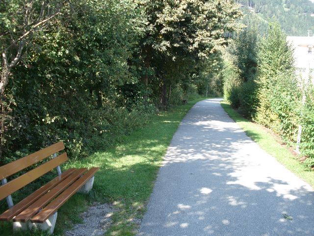
Circumnavigation of Zell am Ziller along the two main surfaces on flat, wide roads
Route:
From the Freizeitpark Zell (leisure park) to the North, the route always leads along the Ziller river to the water mouth of the Gerlosbach river. Follow this river upstream to the "Kaiserstadt". Continuing to the South to the pedestrian underpass, then to the Tannerhof, from where you run across fields back to the starting point.
Route profile:
Circumnavigation of Zell am Ziller along the two main surfaces on flat, wide roads


