
Snowshoe hike Route SB Ausserhög circular hike

closed
Serfaus / Samnaun Group
Route length: 1.6 km
Duration: 1:00 h

Route SB Ausserhög circular hike
Tour information

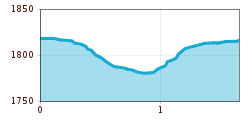
  • Length: 1.6 km
  • Duration: 1:00 h
  • Elevation uphill:60 hm
  • Elevation downhill:60 hm
Highest point1,821 m

Starting point

Start of the cross-country trail between Seealm Hög and Hög Alm
  • Fitness level 1 / 6

Features

  • Circular route
Source: Serfaus-Fiss-Ladis

Description

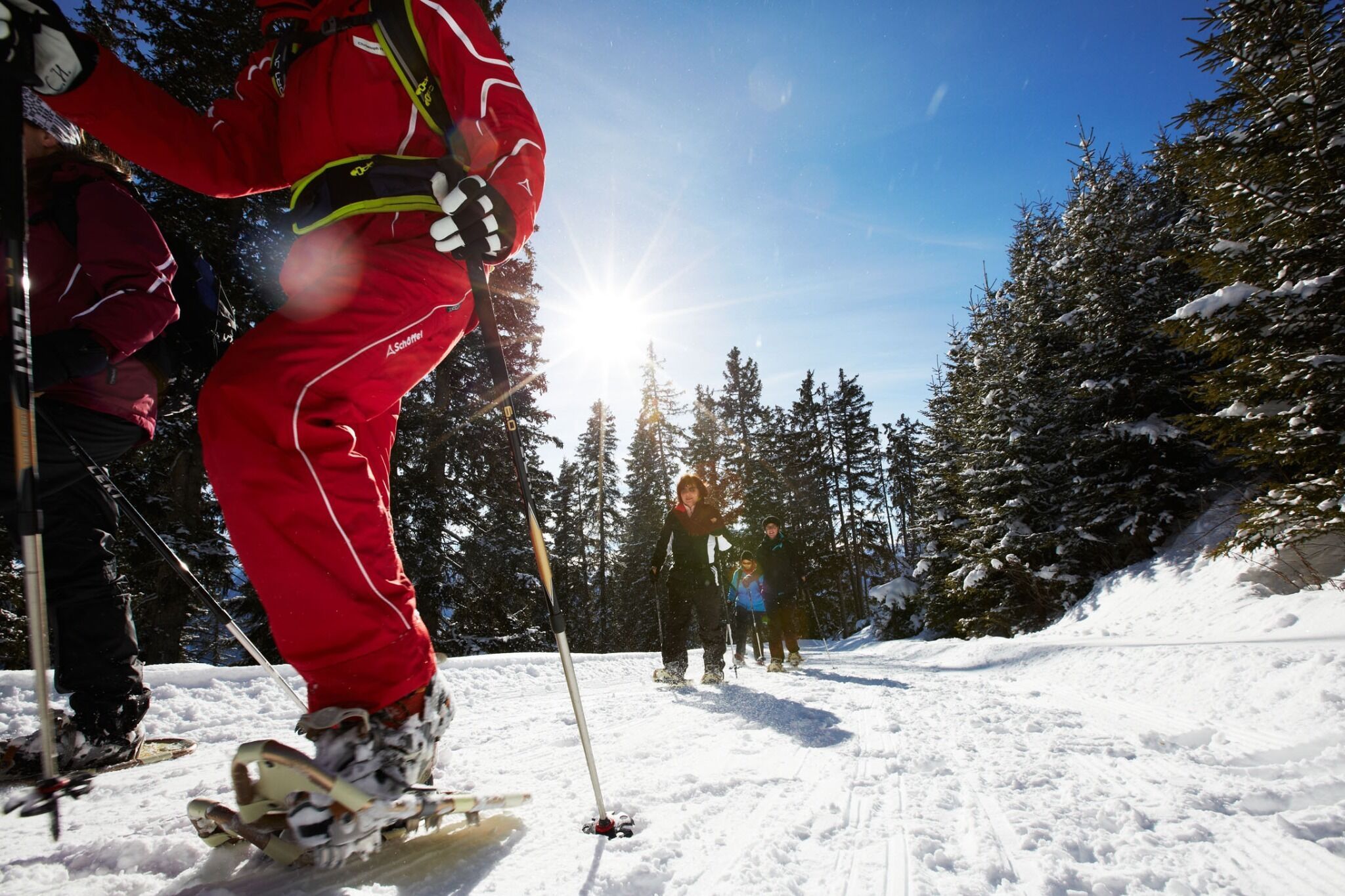
This snowshoe route starts out at the beginning of the cross-country trail between the Seealm Hög and Hög Alm restaurants. Follow the prepared trail past the Hög Alm to the first turn-off (S118). From here, head left downhill to the crossing with route SA. Turn off left from the trail, pass through the opening in the fence, cross through the large clearing (Gallmötz) and on the opposite side, enter the forest again until you reach the hiking trail. Head a few metres downhill along the trail to the first crossing (S 125). From here, head uphill to ‘Ausserhög’. Continue on somewhat away from the cross-country trail, through the thin forest towards ‘Hög’ and back to the start.

Weather

Today

light rain showers
28°C/15°C
60%7.6l5 km/h

Mon

light rain showers
31°C/16°C
55%2.1l5 km/h

Tue

light rain showers
31°C/16°C
55%4.2l5 km/h
Go to weather forecast

More tours in the surrounding area

Newsletter

The mountain is calling? So does our newsletter!

In our monthly newsletter we reveal the best holiday tips for Tyrol.
