
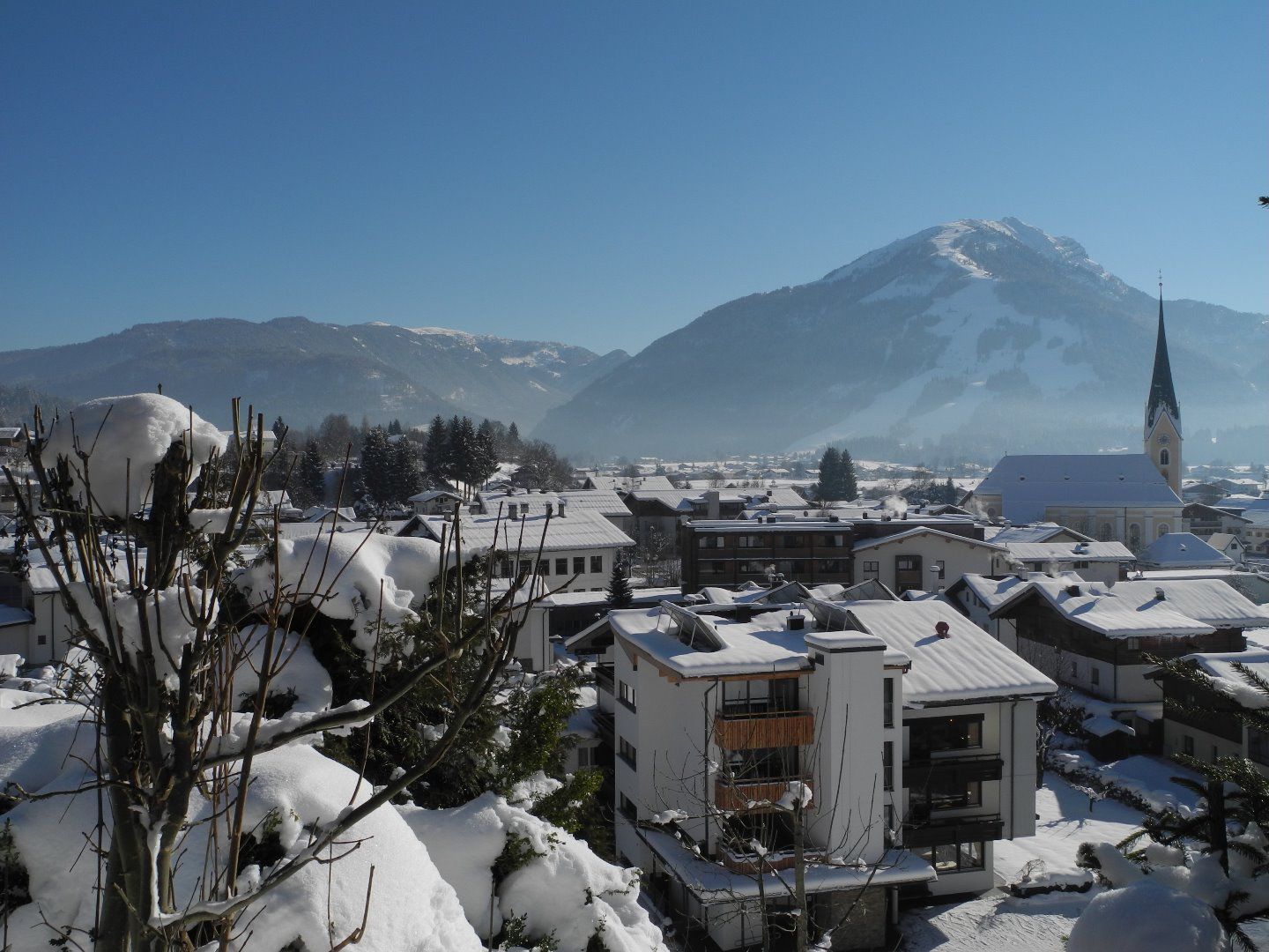
Winter hike Rund um den Kalvarienberg

Kössen / Chiemgau Alps
Difficulty ratings: easy
Route length: 3.0 km
Duration: 1:00 h

Nr: 1

Tour information

  • Requirement: easy
  • Length: 3.0 km
  • Duration: 1:00 h
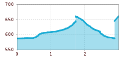
  • Elevation uphill:61 hm
  • Elevation downhill:55 hm
Highest point650 m

Starting point

Tourist Office Kössen

Finishing point

Tourist Office Kössen

Features

  • Circular route
  • Suitable for families

Trail condition

Asphalt, forest road, meadow path

Source: TVB Kaiserwinkl

Description

From the Kössen Information Office, pass the church, turn left and follow the trail as it climbs gently; at the hilltop (Pension Sonnleit), continue straight ahead across the Kegelboden to Schlechterhöhe. Pass by the Rainer and Burger farms and cross the open area known as “Gumprecht.” From here, descend through the Schlechterhöhe neighborhood to return to the center of Kössen.


Weather

Today

clear sky
32°C/13°C
5 km/h
Snow depth
Now: 0 cm,
Next snowfall: No data available
Go to weather forecast
Newsletter

The mountain is calling? So does our newsletter!

In our monthly newsletter we reveal the best holiday tips for Tyrol.