
Arrival by public transport
By train to Sonthofen, Pfronten/Ried, or Reutte, then by bus to Schattwald.
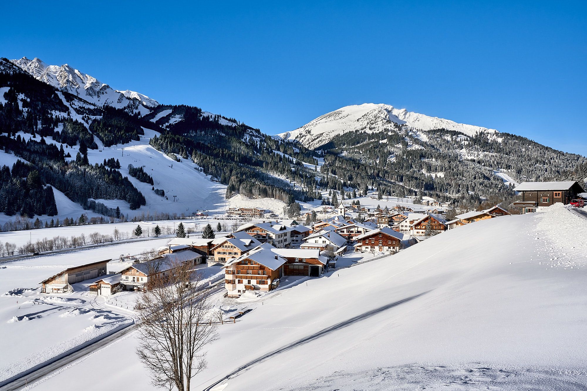
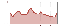
The following winter hike offers an idyllic route through snowy landscapes and picturesque districts.
It should be noted that there is an increased risk of accidents and injuries during winter hiking as well. In winter, particular attention must be paid to the condition of the paths. Suitable clothing, good footwear, and possibly hiking poles provide additional safety. Stay on the marked paths.
Modern and well-maintained equipment (shoes, poles, and clothing) not only provides a significant amount of safety but also makes winter hiking much easier. Sun protection (high protection factor and possibly sunglasses) as well as sufficient fluids should not be forgotten.
It doesn’t always have to be skiing, snowboarding, or cross-country skiing. On nearly 81 kilometers of cleared paths, hikers wander through the snowy fairy-tale landscape. Cozy huts invite you to stop along the way. Sitting by the fireplace, warming up with a Jaga tea, or strengthening yourself with a snack for the next kilometers – this is how you can fully enjoy snow walks.Because along the approximately 81 kilometers of cleared hiking trails, there is so much to discover and see, so much fresh air to breathe that every step becomes a pleasure- with inns and cafés along the routes offering extensive opportunities to refresh and warm up. Those who want to experience something very special can join a guided snowshoe hike. Those who want to go high have two possibilities in the Tannheimer Tal to climb a summit even in winter: the Neunerköpfle in Tannheim with the largest summit book in the Alps or the Gamskopf with the panorama informator in Grän.
By train to Sonthofen, Pfronten/Ried, or Reutte, then by bus to Schattwald.
On the motorway A7 at the "Oy-Mittelberg" exit onto the B310 towards Wertach and then to Oberjoch. There follow the signs "Tannheimer Tal" B199 to Schattwald.
From the Tyrol side via Reutte on the B198 towards Lechtal to Weißenbach, over the Gaicht Pass along the B199 to Schattwald.
Paid municipal parking lot in Schattwald (HNr. 41 / 6677 Schattwald)

