

Opening hours:open
Place:Schwendt
:Restaurant
Nr.: 61
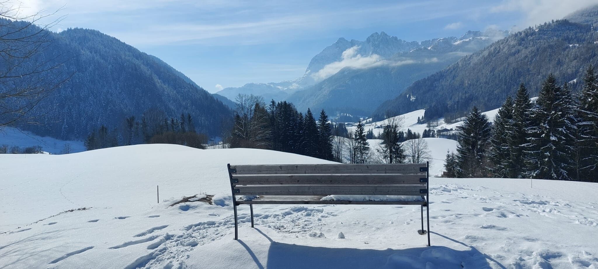
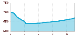
Start at the Schwendt Information Point. Pass the Mairwirt Inn on the left and head downhill along the winter hiking trail to Mühlau. After the bridge, turn left and continue along the Kohlenbach stream until you reach Ledererherrgott. (Beautiful view of the Wilder Kaiser.) Walking parallel to the cross-country ski trail toward the south, you’ll reach the Hohenkendl Guesthouse (bus stop). Return via the same route to the Ledererherrgott; here, at the Steger farm, follow the path toward Bichlch. At the fork near the Aufschnaitbauer, turn right and descend to Mühlau; from there, follow the path to the main road, then turn left and walk slightly uphill to the Schwendt Information Point.
Take bus 4000 to Schwendt Dorf.


