Winter hike Schwendt - Lucknerhof - Schwendt

Schwendt / Kaiser Mountains
Difficulty ratings: easy
Route length: 5.4 km
Duration: 2:00 h

Nr. 62

Tour information

  • Requirement: easy
  • Length: 5.4 km
  • Duration: 2:00 h
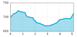
  • Elevation uphill:93 hm
  • Elevation downhill:89 hm
Highest point747 m

Starting point

Schwendt

Finishing point

Schwendt

Features

  • Circular route
  • Suitable for families

Trail condition

Asphalt, forest road, hiking trail

Equipment

Breathable outdoor clothing suitable for the weather, sturdy footwear, food (snacks, drinks),
sun protection (sunglasses, sun cream & cap), rain protection, cash; guest card if using the bus
Source: TVB Kaiserwinkl

Description

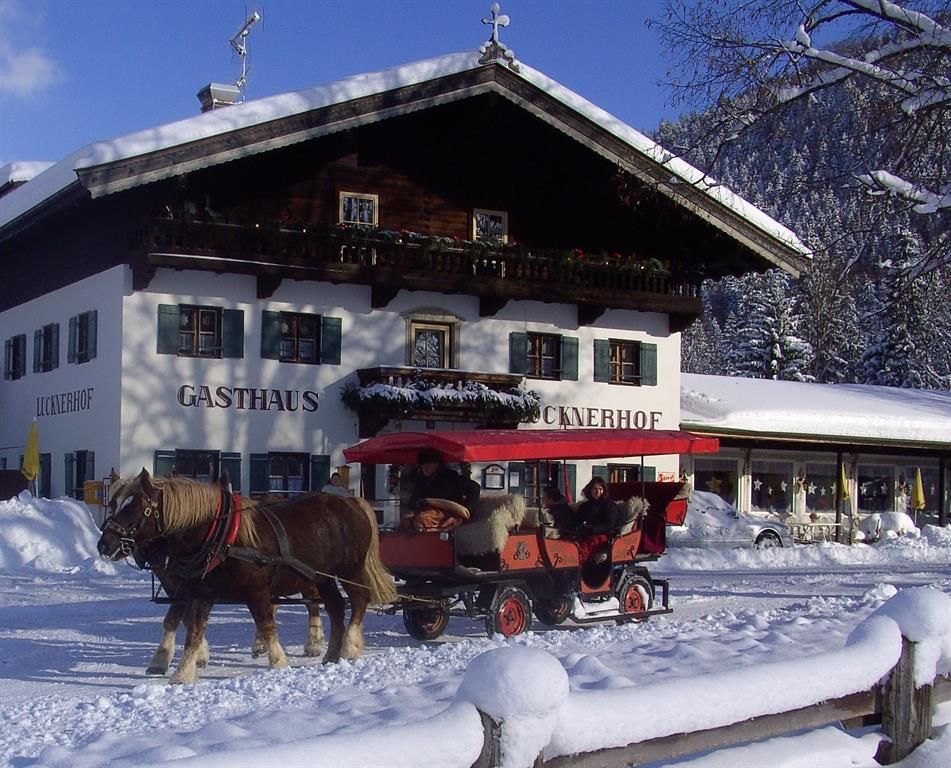
From the information point in Schwendt, pass the Danzl Alpine Dairy and then turn right toward Schlecht. At the next trail junction, turn left, pass the Hackerhof, and head downhill through the forest. Pass the Unterhochstätthof on the right and follow the road to the Kramingerhof. From here, you can connect to Kössen via Winter Hiking Trail No. 12. For the return trip, take the trail to the Lucknerhof, keep right at the fork, and continue through Unterschwendt to the Bauhof. From here, turn left and follow the state highway back to the starting point.

Nearby huts and mountain restaurants

Weather

Today

mainly clear
21°C/5°C
0%0l5 km/h

Sun

mainly clear
22°C/8°C
65%3.8l5 km/h

Mon

partly Cloudy
17°C/7°C
60%0.3l5 km/h
Go to weather forecast
Newsletter

The mountain is calling? So does our newsletter!

In our monthly newsletter we reveal the best holiday tips for Tyrol.