
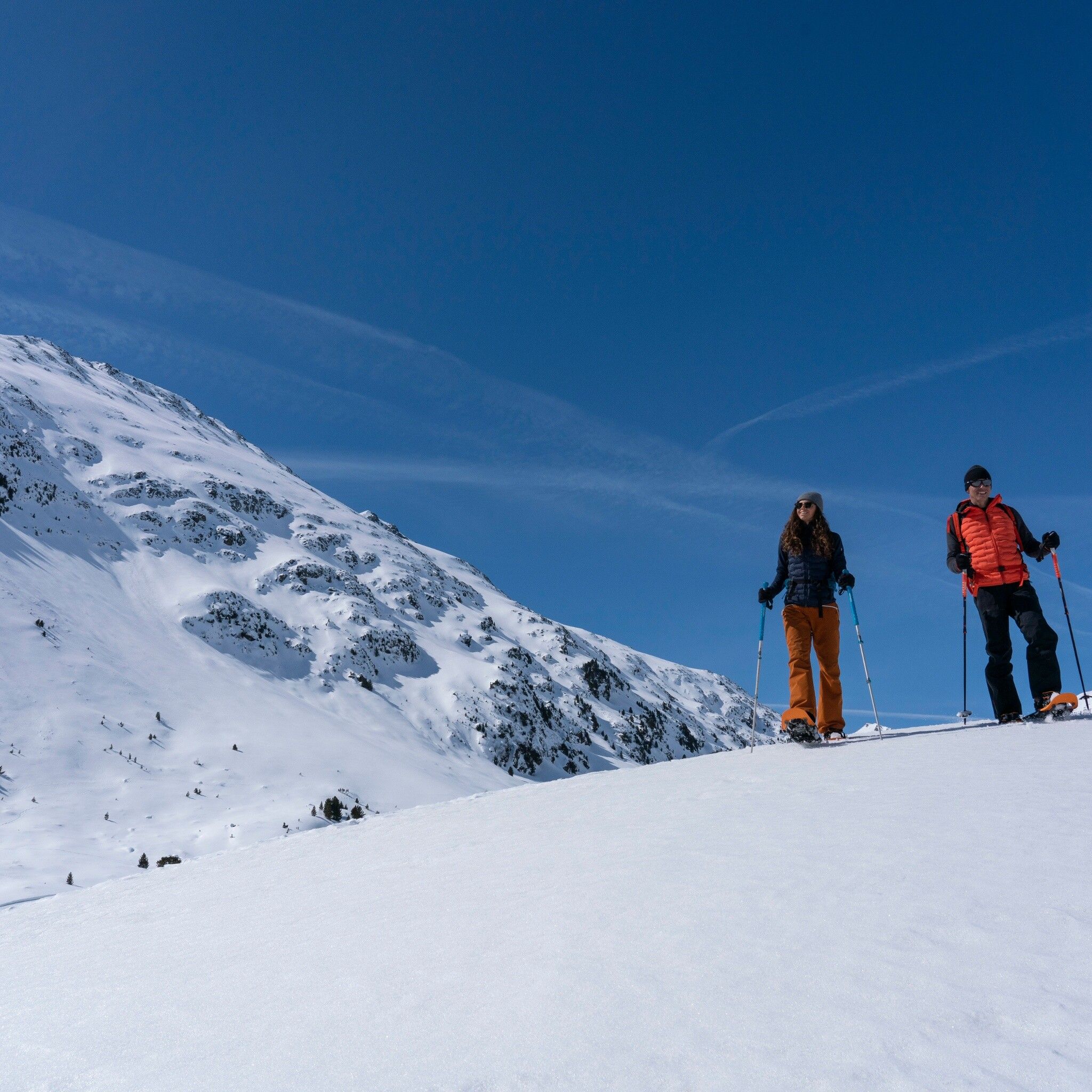
Snowshoe hike Snowshoe Trail Ramolalm

closed
Sölden / Ötztal Alps
Difficulty ratings: medium
Route length: 2.1 km
Duration: 1:19 h

 VENT -> RAMOLALM

Tour information

  • Requirement: medium
  • Length: 2.1 km
  • Duration: 1:19 h
  • Elevation uphill:323 hm
  • Elevation downhill:323 hm
Highest point2,216 m

Starting point

Vent

Finishing point

Ramolalm
  • Fitness level 4 / 6

Best time of year

  • January
  • February
  • March
  • April
  • May
  • June
  • July
  • August
  • September
  • October
  • November
  • December

Equipment

Please observe the current snow and avalanche report for the coming days: www.oetztal.com/de/ & lawinen.report/bulletin/latest.

The team at Ötztal Tourism is happy to inform you personally about the condition of the winter hiking trails.

Ötztal Tourism: T +43 5 72 00 220 | vent@oetztal.com  

Appropriate equipment such as breathable and weather-appropriate outdoor clothing is required for all hikes and routes.

Source: TVB Ötztal Tourismus

Description

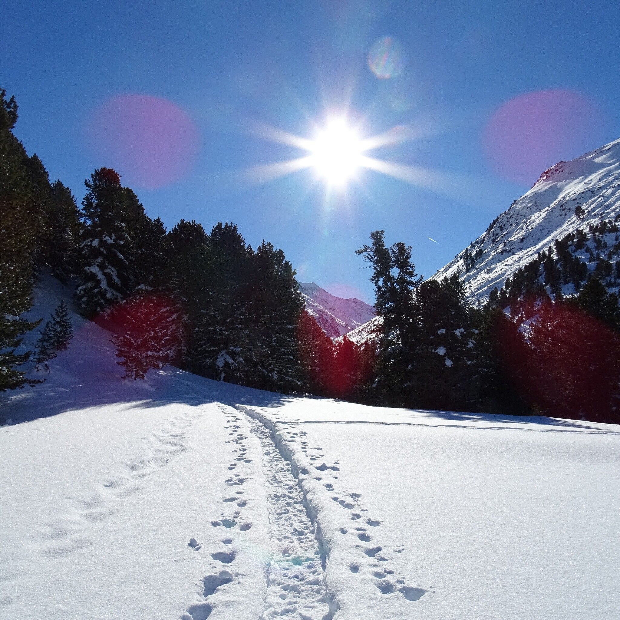
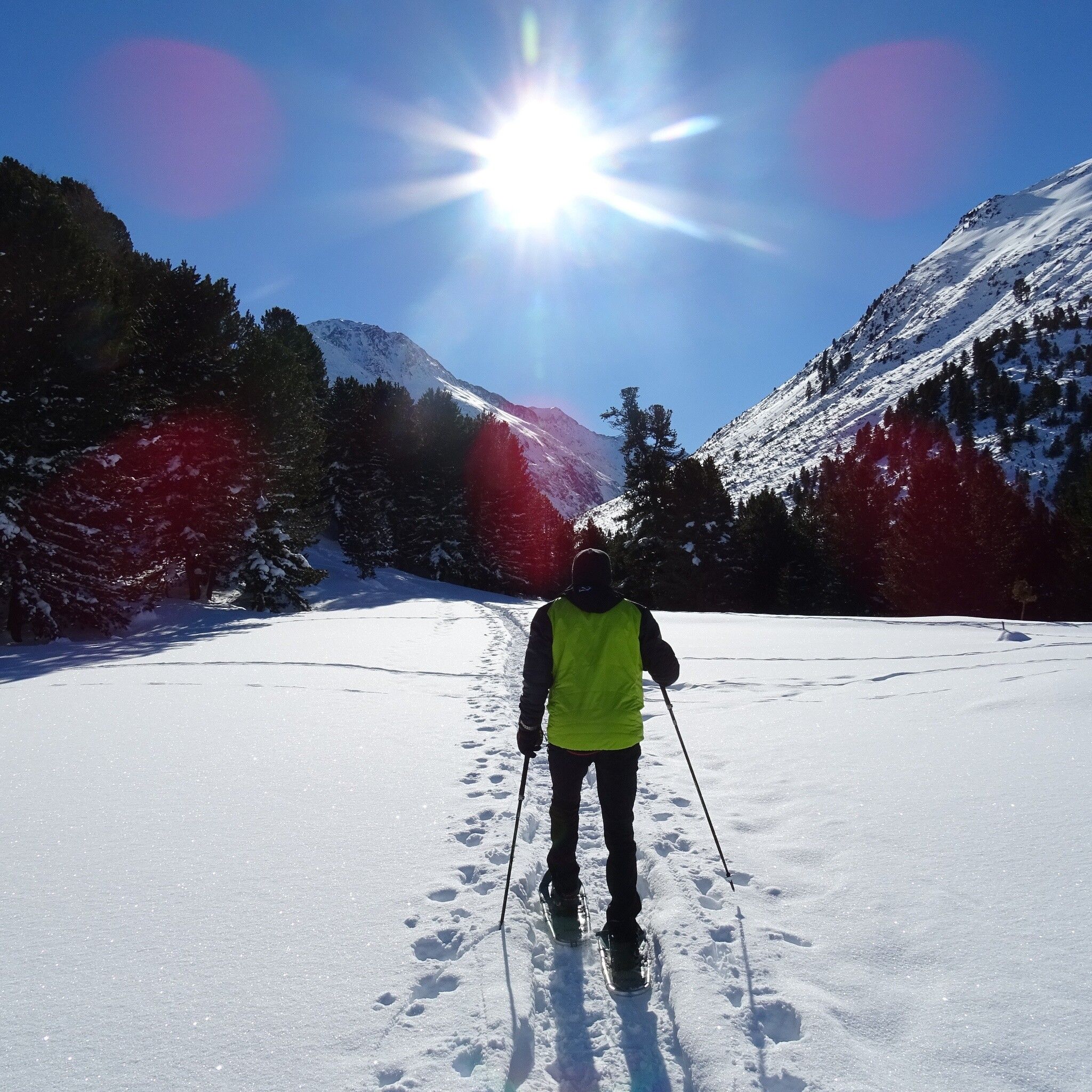
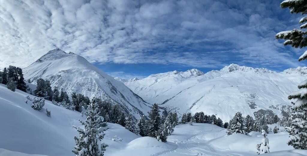
Beautiful hike through the magnificent stone pine forest to the unmanaged Ramolalm. Fantastic views of the Wildspitze, the Similaun, and the 3000-meter peaks around Vent.

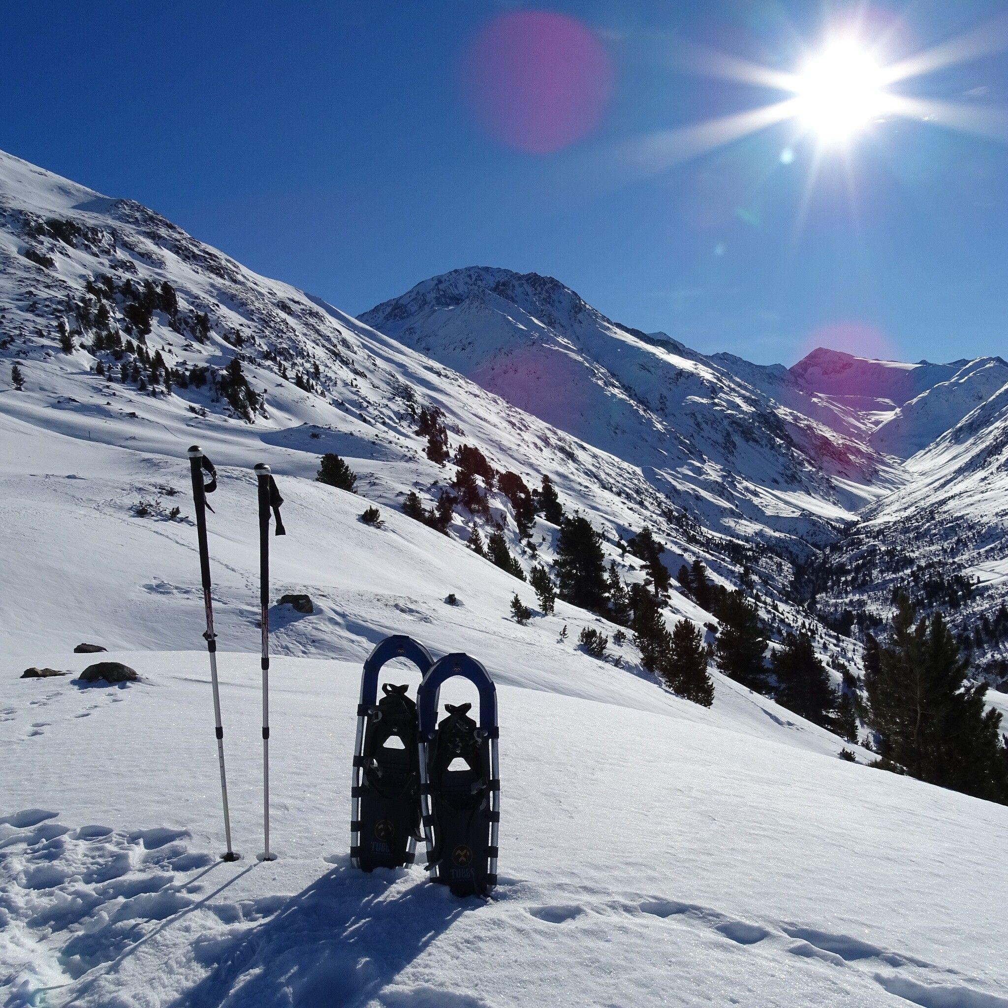
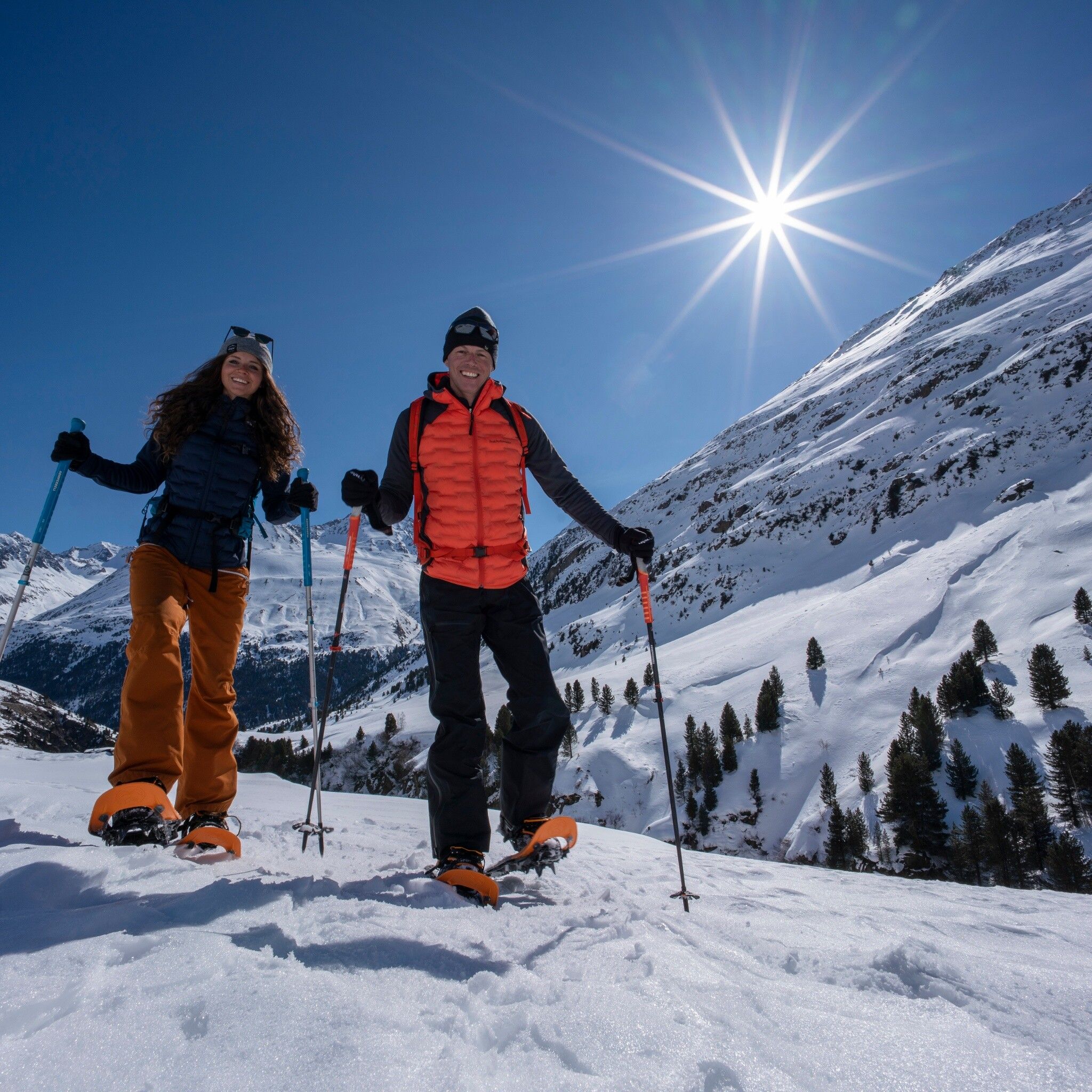
Attention! The snowshoe trail is signposted but not tracked. We recommend this route only with snowshoes or poles and crampons/spikes.


Getting here

  • Arrival by public transport

    Travel comfortably and safely by train to the Ötztal train station. The final stop or exit point is the ÖTZTAL station. Afterwards, you can conveniently and quickly continue through the entire valley to your desired destination by public transport or local taxi companies.

    The current bus timetable is available at: fahrplan.vvt.at.

  • Parking

    The drive to ÖTZTAL. Located in Tyrol, the Ötztal branches off to the south as the longest side valley of the Eastern Alps. Traveling by car takes visitors through the Inn Valley to the valley entrance and further along the Ötztal. In addition to the toll motorway, country roads can also be used. You can quickly and conveniently plan your route using the route planner: To the route planner: www.google.at/maps.


    Public parking spaces are located at the valley station of the Wildspitze double chairlift.

Weather

Snow depth
Now: 0 cm,
Next snowfall: No data available
Newsletter

The mountain is calling? So does our newsletter!

In our monthly newsletter we reveal the best holiday tips for Tyrol.