
Snowshoe hike Snowshoeing to Grünberg

Obsteig / Wetterstein Mountains & Mieming Range
Difficulty ratings: medium
Route length: 5.0 km
Duration: 2:45 h

Tour information

  • Requirement: medium
  • Length: 5.0 km
  • Duration: 2:45 h
  • Elevation uphill:441 hm
  • Elevation downhill:441 hm
Highest point1,480 m

Starting point

Car park Grünberg, Obsteig

Finishing point

Grünberg, Obsteig

Best time of year

  • January
  • February
  • March
  • April
  • May
  • June
  • July
  • August
  • September
  • October
  • November
  • December

Trail condition

Winter hiking trail groomed
Source: Innsbruck Tourismus

Description

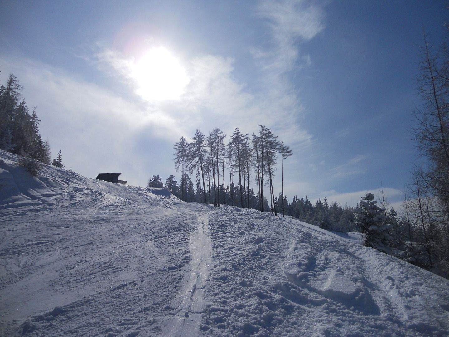
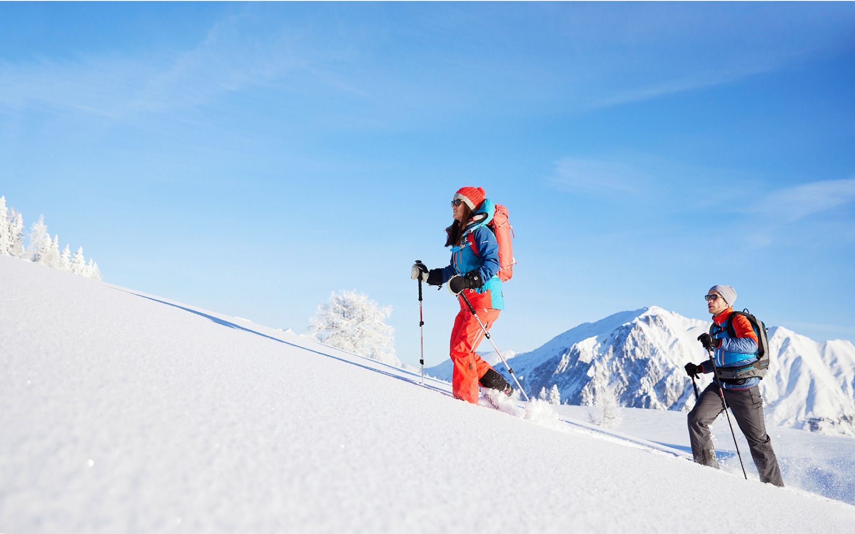
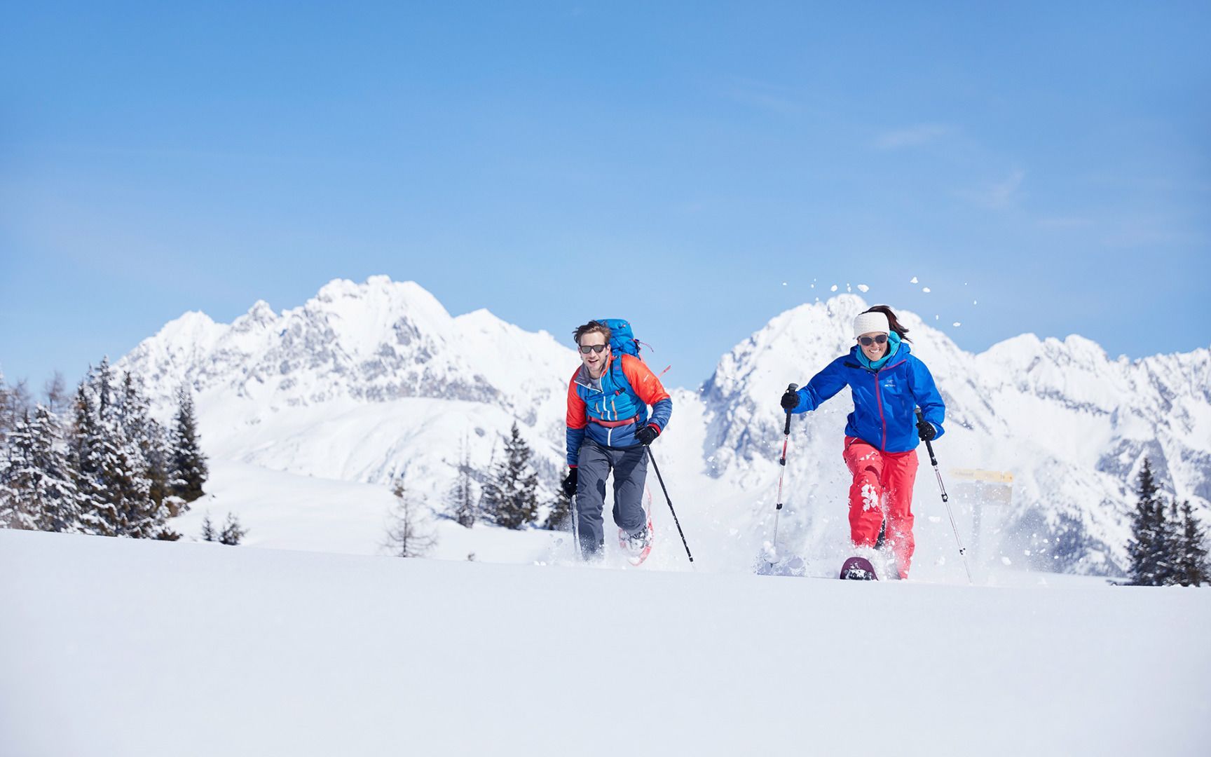
The starting point is the parking lot at the base station of the Grünberg lift. The ascent follows an abandoned ski slope to the top station of the former ski lift. At the highest point of the tour, at 1,480 meters, there is a large observation tower offering a breathtaking panoramic view of the surrounding mountain landscape. The total route covers approximately 5 kilometers with around 440 meters of elevation gain. After the snowshoe hike, a cozy stop at the Grünbergalm, located directly at the parking lot, is a great option.

Getting here

  • Parking

    You reach the starting point via the Inntal valley. At Telfs or Mötz, drive onto the Mieminger Plateau and continue to Obsteig. A few metres before the end of the village, turn left and follow the signposts to the valley station of the Grünberg lift. Bus 350 or 355 - stop "Obsteig Mooswaldsiedlung"
    (approx. 20 minutes' walk to the starting point of the Grünberglift). www.vvt.at

Weather

Today

clear sky
12°C/0°C
0%0l10 km/h

Fri

clear sky
10°C/0°C
30%0.3l5 km/h

Sat

mainly clear
8°C/1°C
25%2.6l5 km/h
Go to weather forecast
Newsletter

The mountain is calling? So does our newsletter!

In our monthly newsletter we reveal the best holiday tips for Tyrol.
