

Place:Obsteig
:Restaurant, Tavern, Alpine pasture / hut / mountain restaurant:vegetarian
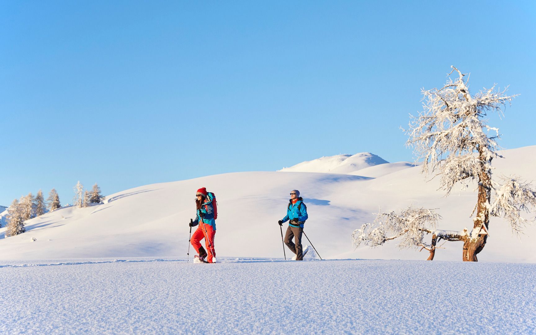

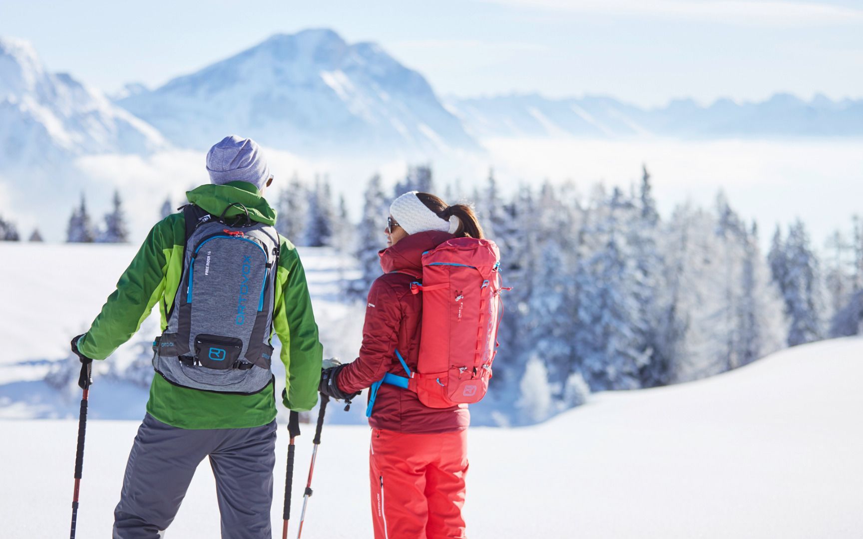
This walk begins at the Grünberg car park in Obsteig. Pass a wooden barn and follow the path (wide forest road) along part of the former piste. After about an hour's walking, you'll reach Zwischensimmering. From here, follow the signs for 'Simmeringalm' to the right and head along the forest path. It's about 60 minutes to your destination, where a cosy alpine hut awaits you. The return follows the same path as the way there, resulting in a total distance of approximately 11 kilometers.
You reach the starting point via the Inntal valley. At Telfs or Mötz, drive onto the Mieminger Plateau and continue to Obsteig. A few metres before the end of the village, turn left and follow the signposts to the valley station of the Grünberg lift.Bus 350 or 355 - stop "Obsteig Mooswaldsiedlung" (approx. 20 minutes' walk to the starting point of the Grünberglift). www.vvt.at


