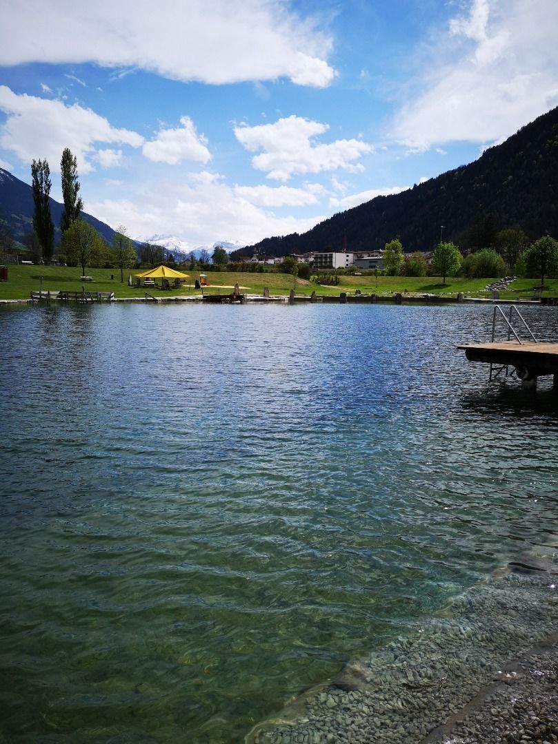
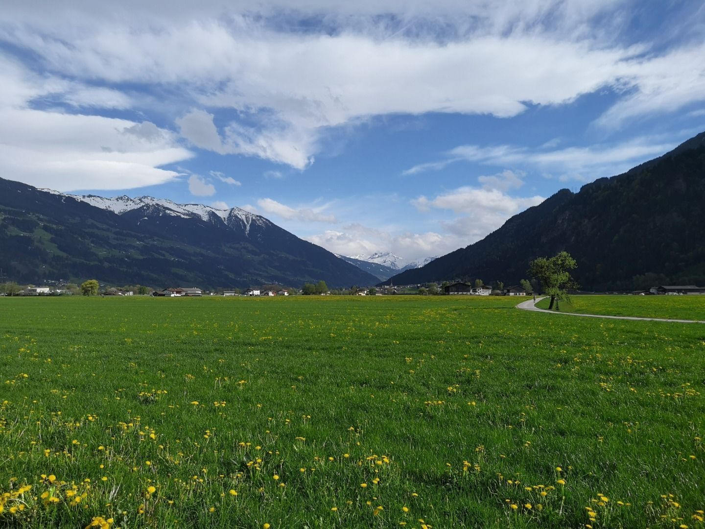
Mountain hikes Strass - Schlitterer See - Strass

Schlitters, Zillertal / Tux Alps
Difficulty ratings: easy
Route length: 6.2 km
Duration: 1:30 h

Tour information

  • Requirement: easy
  • Length: 6.2 km
  • Duration: 1:30 h
  • Elevation uphill:5 hm
  • Elevation downhill:5 hm
Highest point525 m

Starting point

Strass Community hall (Gemeindehaus), Oberdorf 68, 6271 Strass

Finishing point

Strass

Features

  • Suitable for families
  • suitable for pushchairs

Best time of year

  • January
  • February
  • March
  • April
  • May
  • June
  • July
  • August
  • September
  • October
  • November
  • December

Trail condition

5,8 km asphalt, 0,4 km gravel
Source: Zillertal Tourismus GmbH

Description

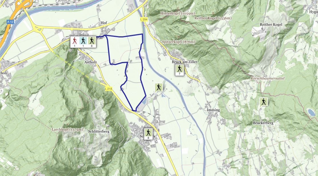
This trail leads from the municipal office past the church, through the village, and up to the Ziller promenade. 
The hike follows the cycle track and footpath into the valley all the way through to Schlitterer See lake. Turn right just before the Seecafe and hike past the football and tennis facilities. Turn right again and follow the signposts as you make your way back to Strass.

Stop off possibilities: restaurants in the village, Seecafe Schlitters

Getting here

  • Parking

    Zillertalbahn or bus - train station Strass
    Car - parking space near the community hall (Gemeindehaus) Strass Oberdorf 68
    Hiking parking space Maria Brettfall, Astholz
    6261 Strass
Weather

Today

clear sky
8°C/-2°C
0%0l5 km/h

Sun

clear sky
9°C/-3°C
45%0.3l10 km/h

Mon

partly Cloudy
10°C/2°C
45%0.7l5 km/h

More tours in the surrounding area

Newsletter

The mountain is calling? So does our newsletter!

In our monthly newsletter we reveal the best holiday tips for Tyrol.