Mountain hikes Sunnseit round (short)

Söll / Kitzbühel Alps
Difficulty ratings: easy
Route length: 7.3 km
Duration: 2:15 h

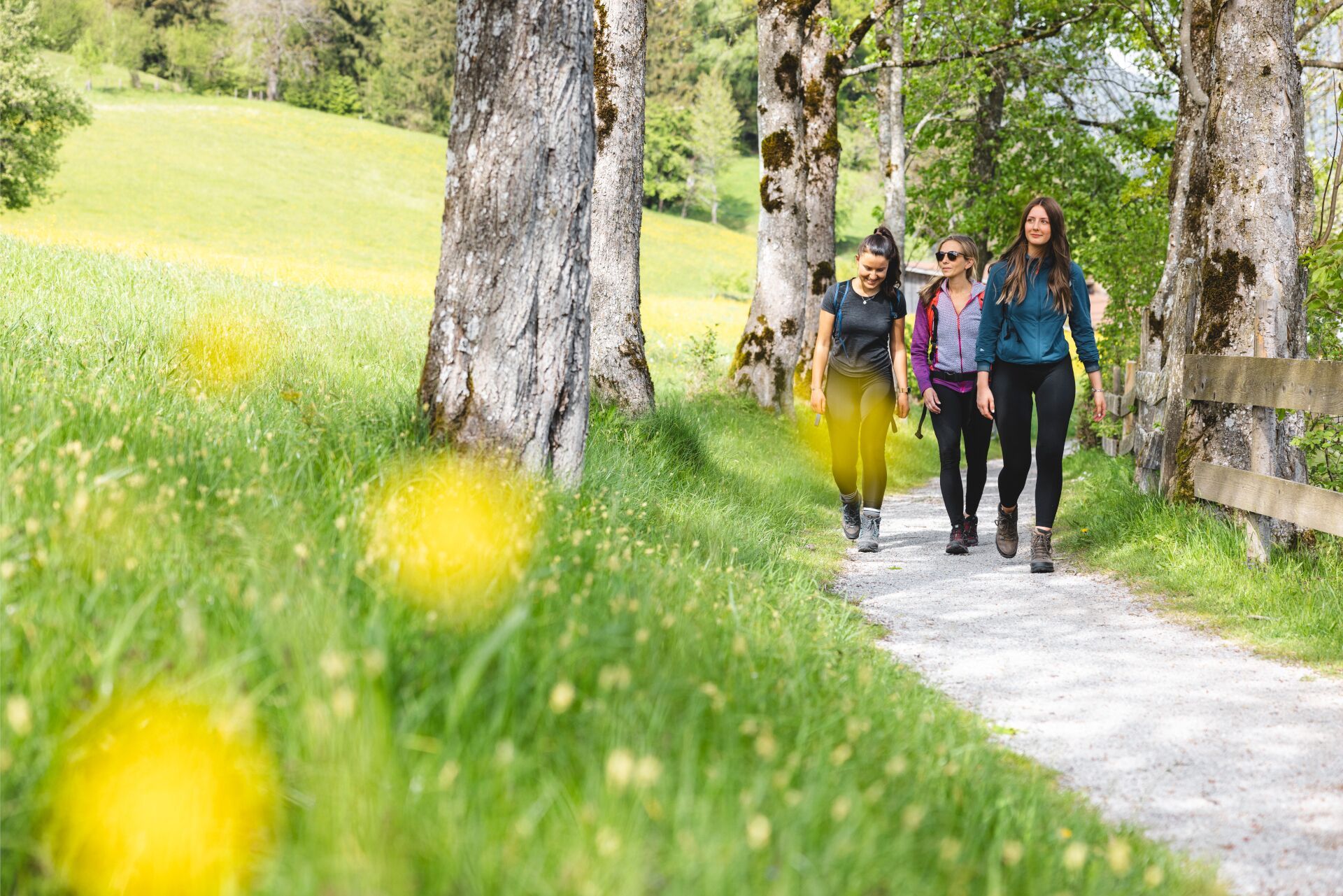
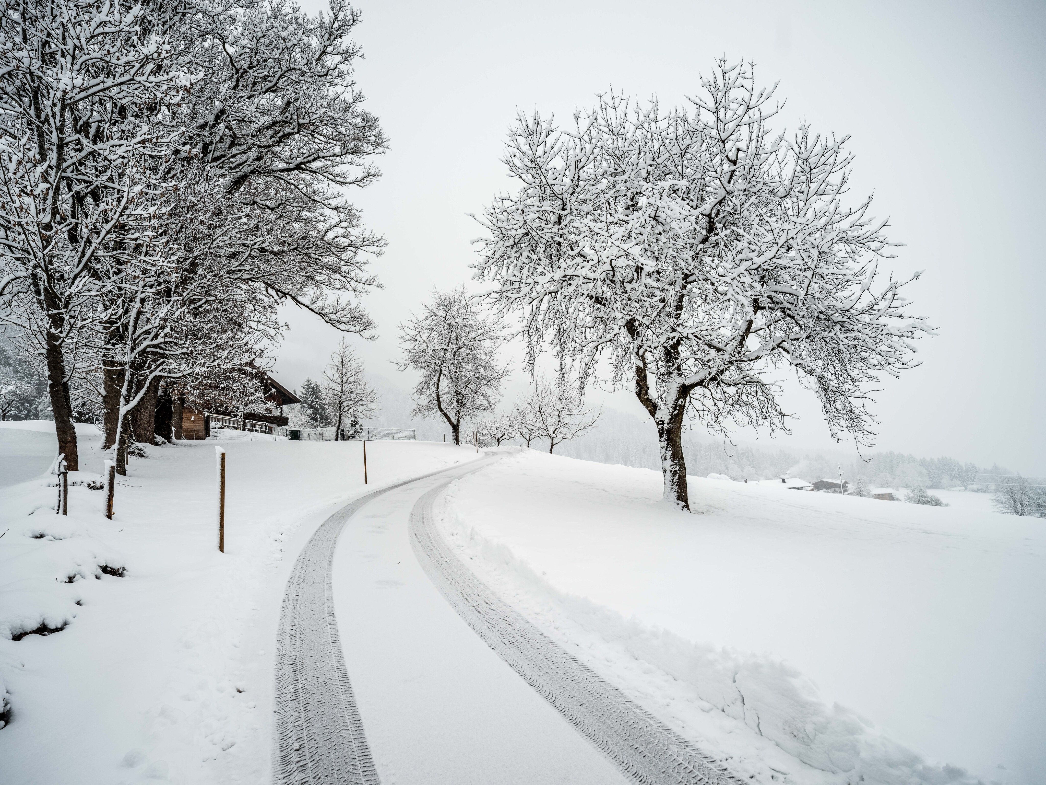
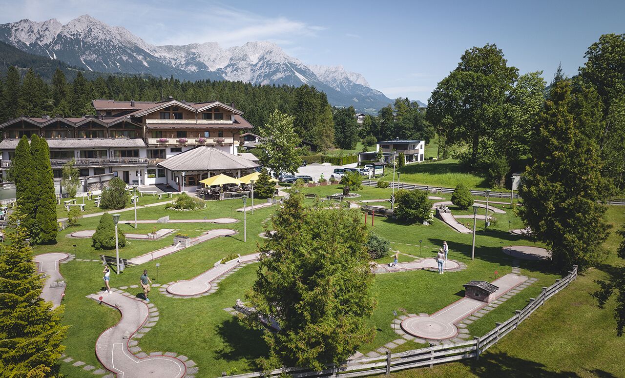
A sunny loop hike with beautiful views of Söll and the Wilder Kaiser.
Tour information

  • Requirement: easy
  • Length: 7.3 km
  • Duration: 2:15 h
  • Elevation uphill:180 hm
  • Elevation downhill:180 hm
Highest point814 m

Starting point

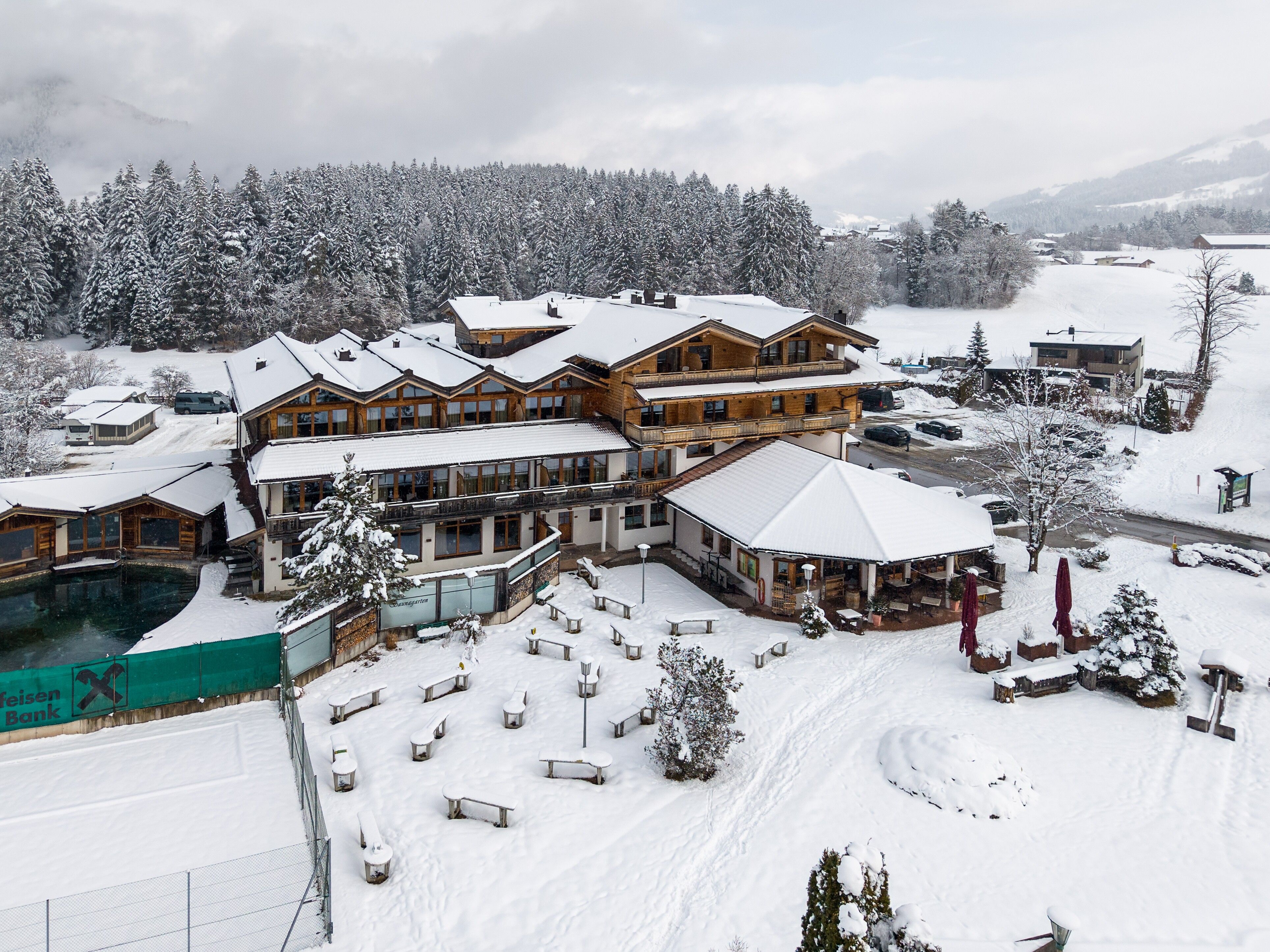
Hiking starting point Franzlhof, Söll (703 m)

Finishing point

Hiking starting point Franzlhof, Söll (703 m)
  • Fitness level 2 / 6
  • Technique 1 / 6

Features

  • Circular route
  • Suitable for families
  • suitable for pushchairs

Best time of year

  • January
  • February
  • March
  • April
  • May
  • June
  • July
  • August
  • September
  • October
  • November
  • December

Trail condition

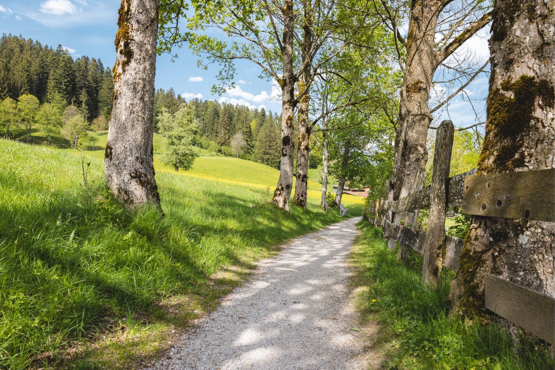
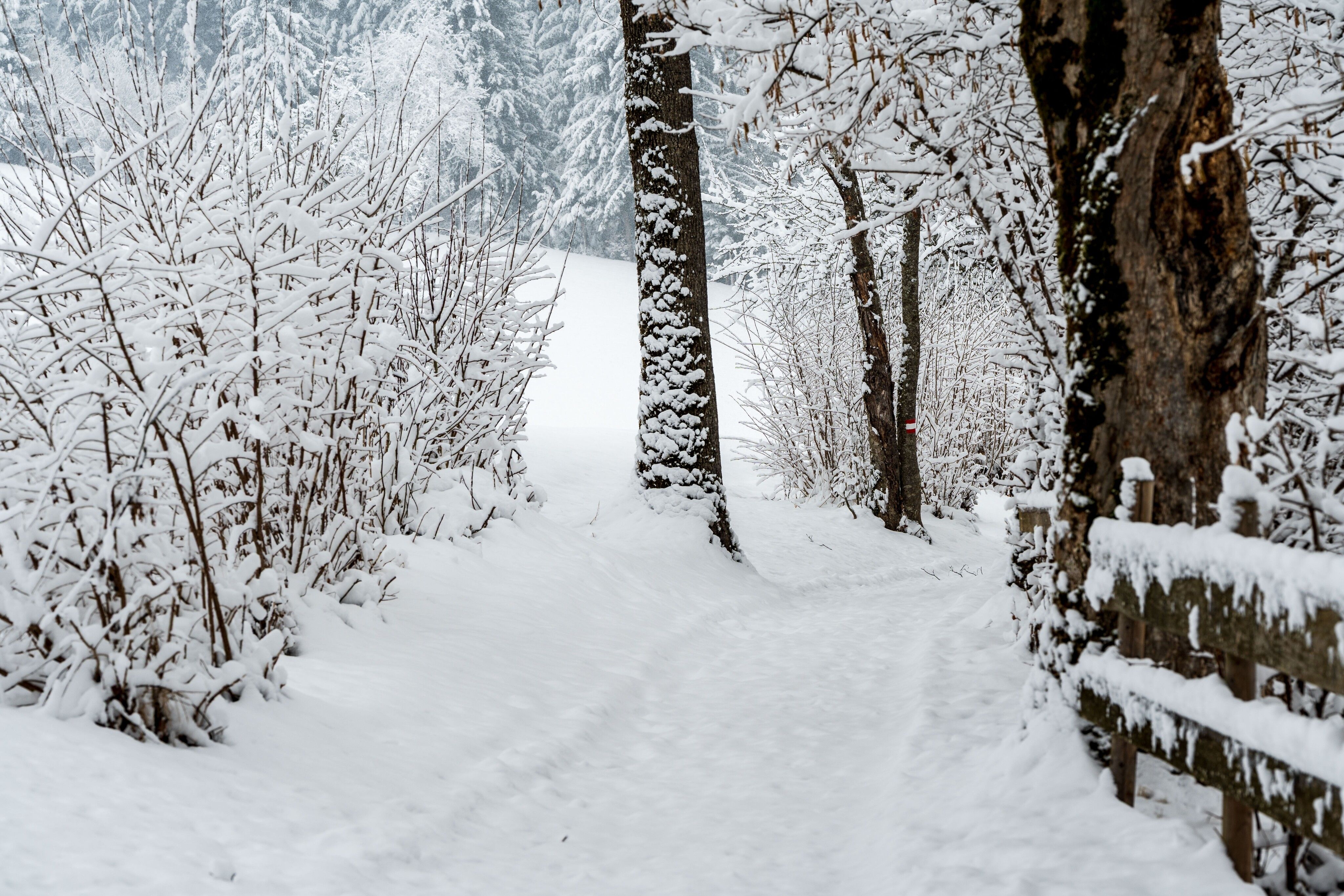
The composition of the trail varies between asphalt and gravel.
 

Equipment

Rucksack, sturdy hiking/mountaineering boots with anti-slip treaded soles, weather-appropriate hiking gear (breathable), a change of clothes, sun protection (sunglasses, sun cream, lip protection, headgear), waterproofs (rain jacket/poncho, pocket umbrella, rucksack protector), cold protection (hat, gloves), sufficient food and drink, hiking poles (height adjustable) if required, first aid kit incl. rescue blanket and bivouac sack, mobile phone with fully charged battery, headlamp, plastic bag for waste, hiking map, route description and information materials (GPX track), ID, insurance card, cash
 
Source: TVB Wilder Kaiser

Description

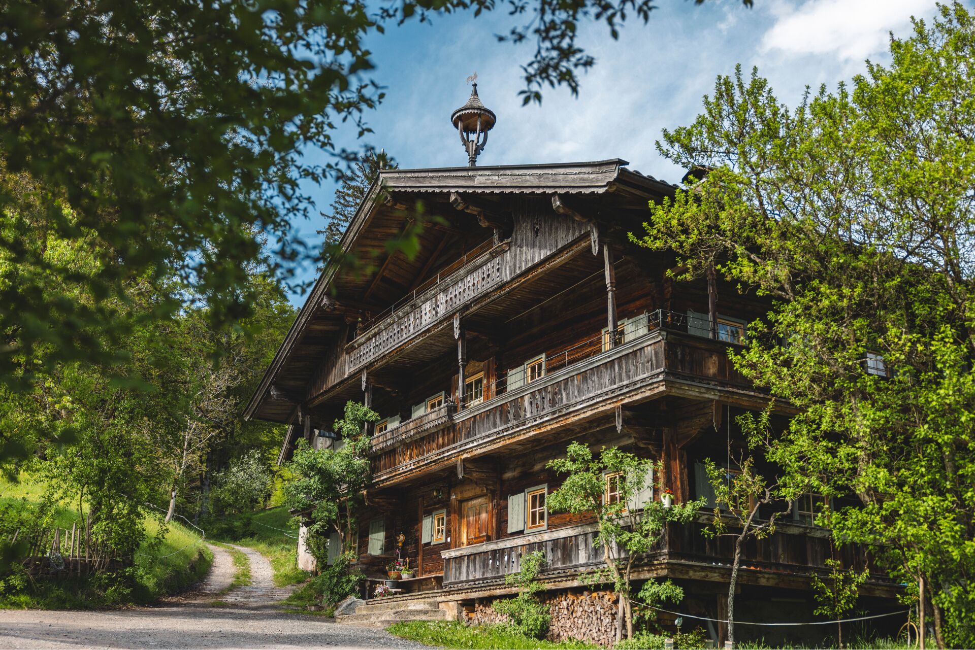
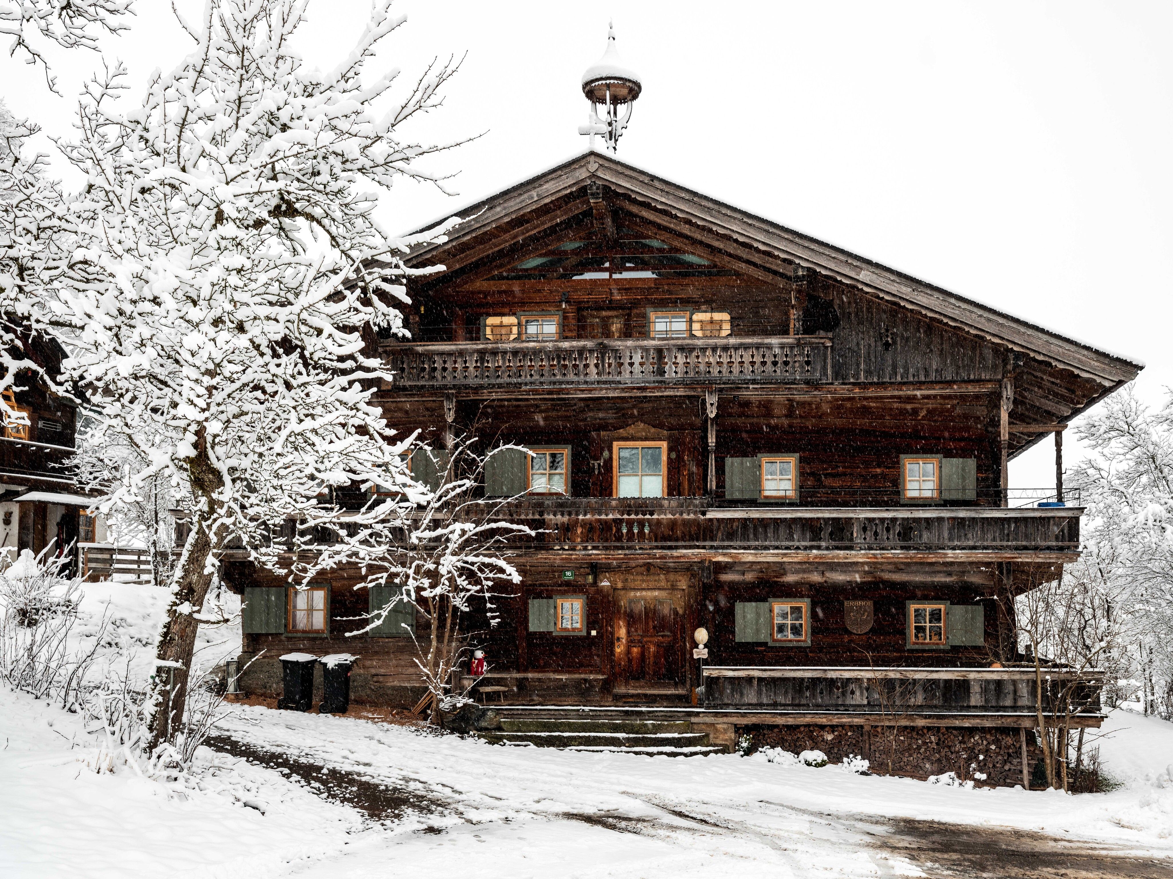
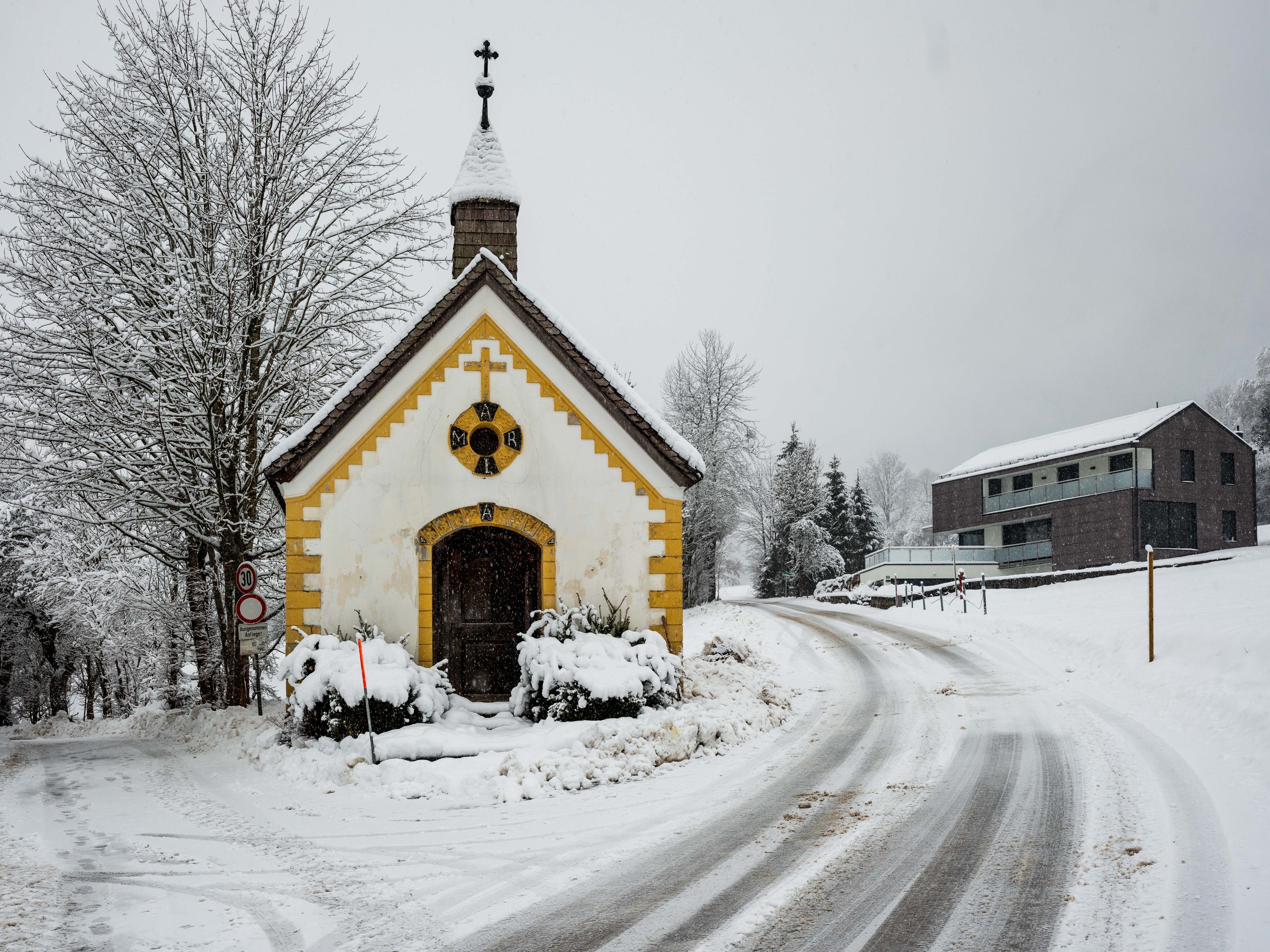
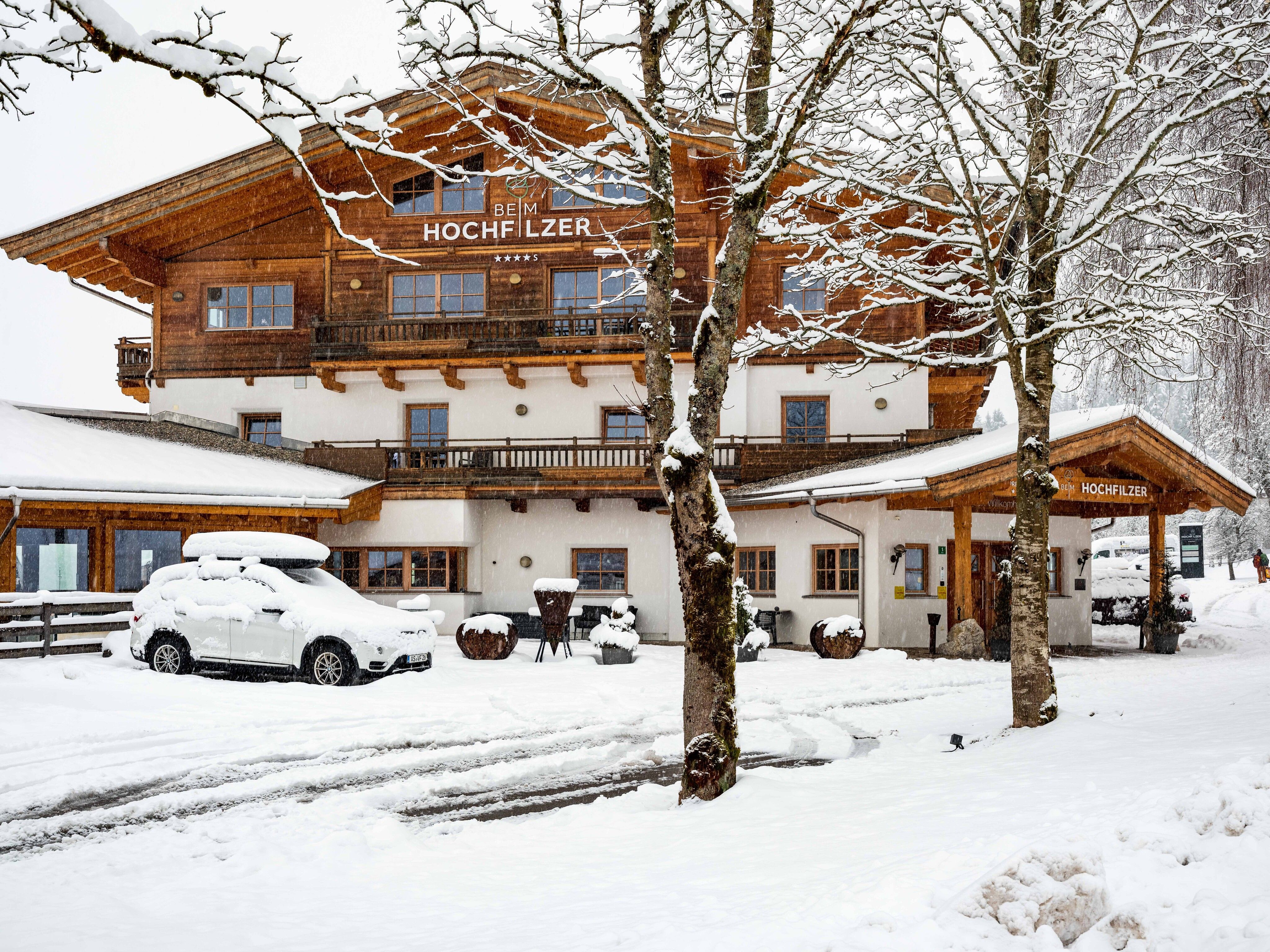
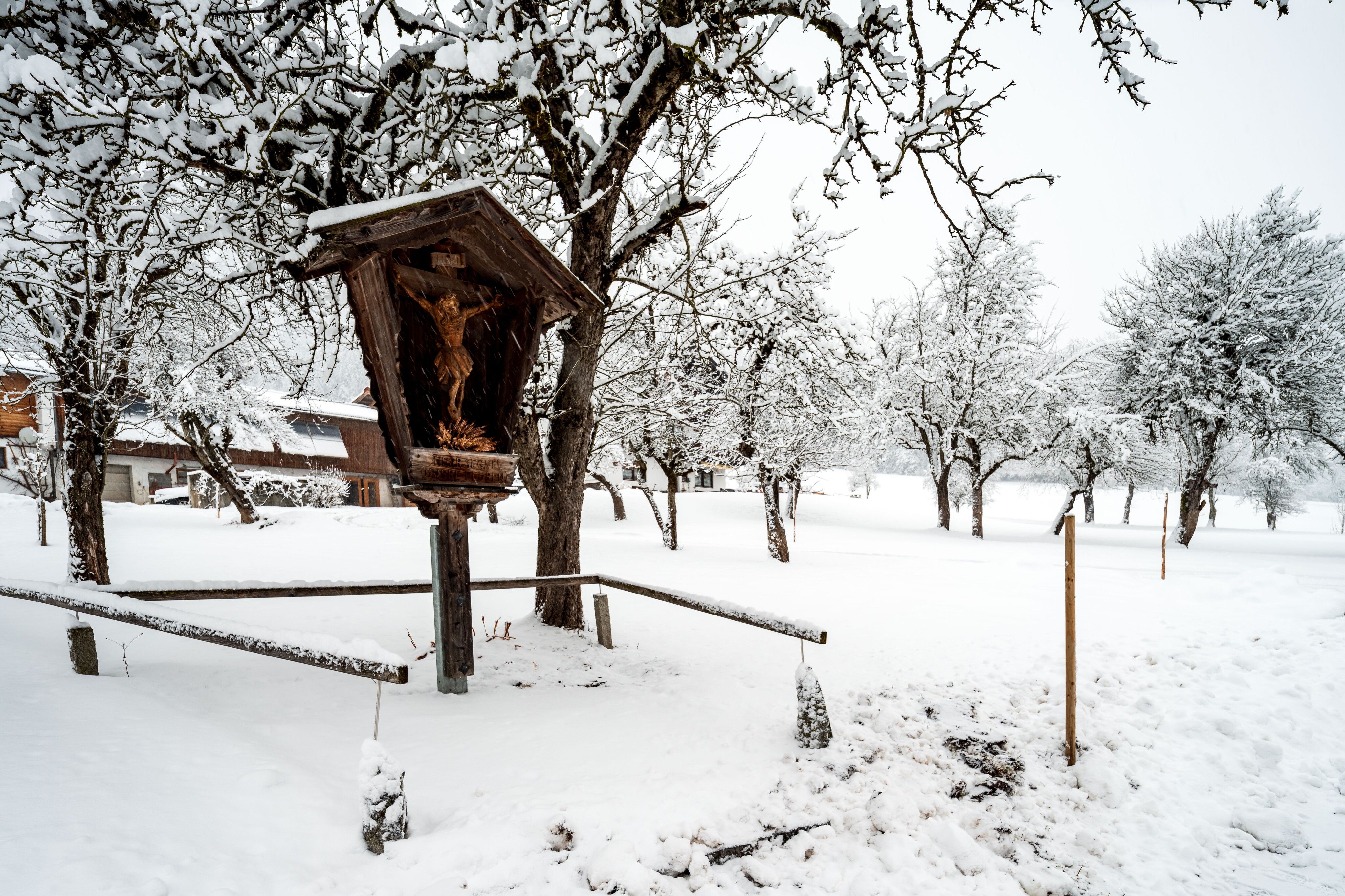
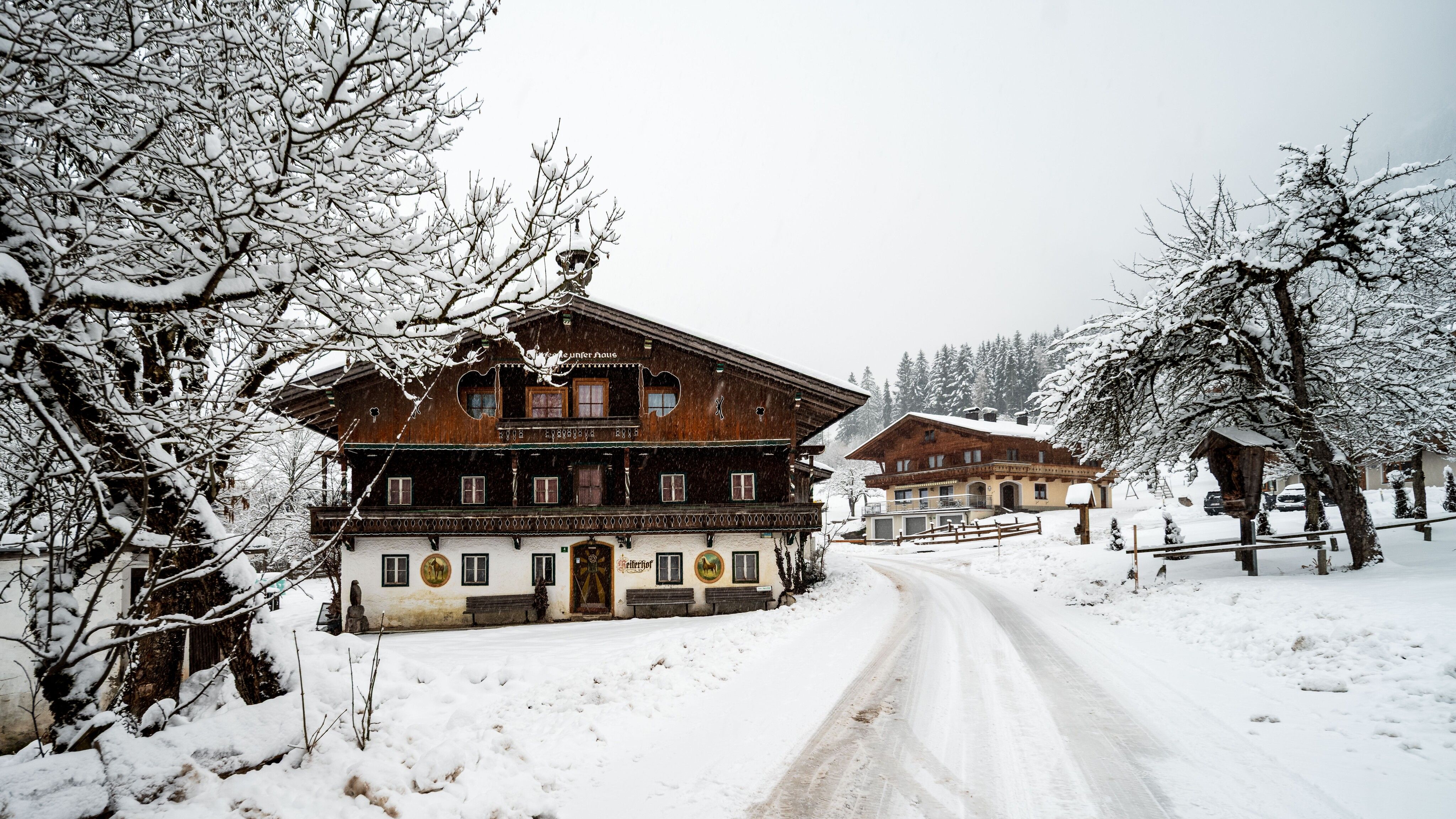
From the hiking starting point at the Franzlhof, take the Sunnseit Weg along the edge of the forest to the Oberkollerhof. At the next fork in the road, keep right along the Sunnseit Weg towards Hochfilzer. In the Reiterdörfl district, turn right at the Klammerhof farm and continue past the Obersteintal farm in the direction of Alpenschlössl. At the Steintal signpost, turn left onto trail no. 1a downhill towards Alpenschlössl and then right towards Badhaus. Once you reach the forest road, follow it to the left into the district of Ried. Then take the road back towards Söll. At the Laihartinghof farm, turn left towards Hotel Alpenschlössl. Back in the Reiterdörfl district, the loop comes to an end and you hike back along the Sunnseit Weg, past the Pirchmoos Chapel, back to the Franzlhof. On the way back, you can always enjoy the view of the Wilder Kaiser.

Nearby huts and mountain restaurants

Getting here

  • Arrival by public transport

    KaiserJet/Postbus stop “Söll Dorf” – followed by approx. 10-minute hike to the hiking starting point (Franzlhof leisure centre).
    More information at: www.wilderkaiser.info/mobility

  • Parking

    Heading from Wörgl, Kufstein or St. Johann on the B178 road, take the exit to Söll and then take the exit to Söll centre (“Söll, Zentrum”) at the roundabout. Drive straight through the village and bear right before the “AnDa's - Restaurant". Follow the road until you reach the hiking starting point at the Franzlhof leisure centre.
    Franzlhof leisure centre car park, Söll (703 m) – free

Weather

Today

mainly clear
11°C/1°C
0 km/h
Snow depth
Now: 0 cm,
Next snowfall: 31. Oct 2026
+3 cm
Go to weather forecast

More tours in the surrounding area

  • Winter walking Biedringer Platte

    Opening hours:closed
    Length:12.7 kmDuration:5:30 hElevation uphill:470 m
Newsletter

The mountain is calling? So does our newsletter!

In our monthly newsletter we reveal the best holiday tips for Tyrol.