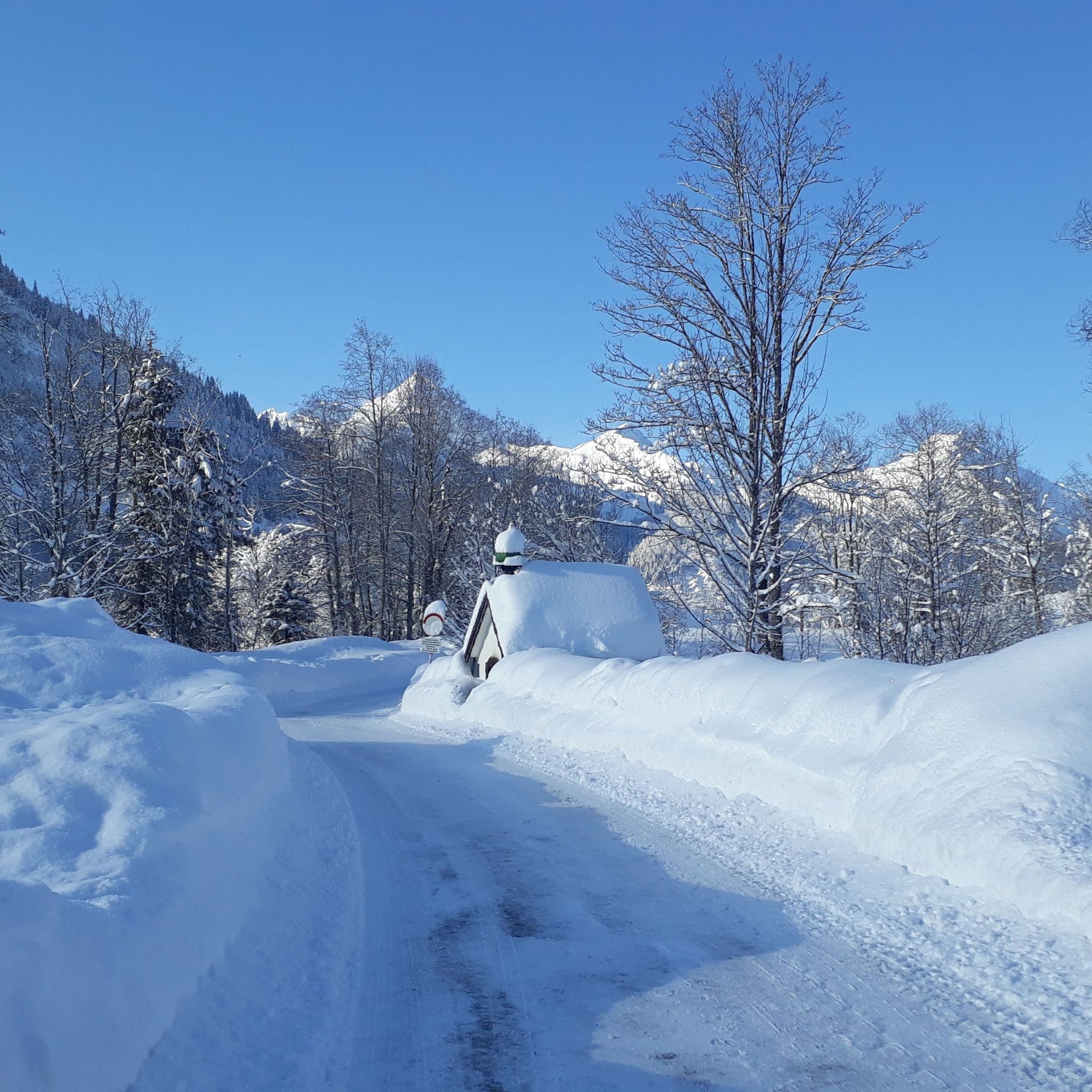
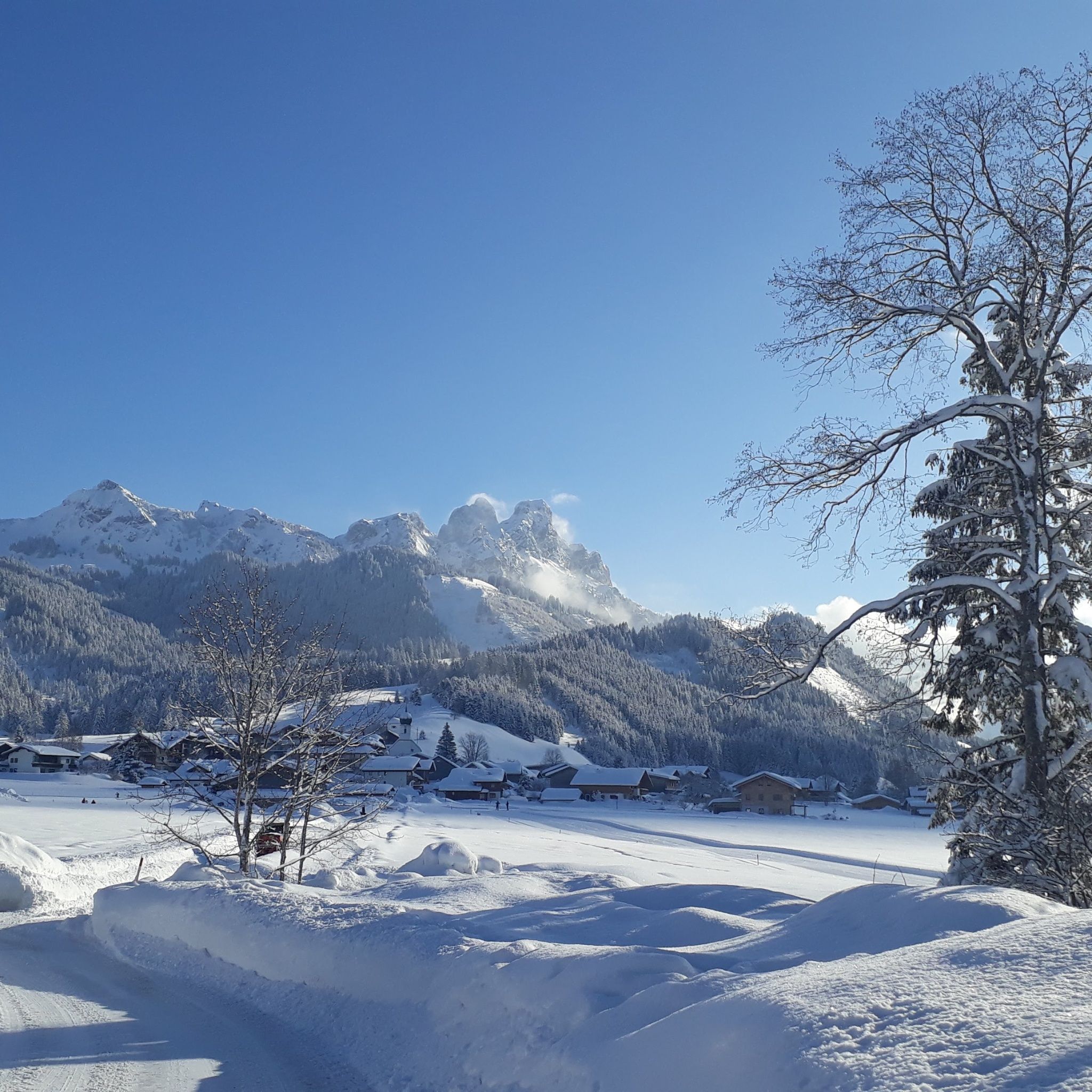
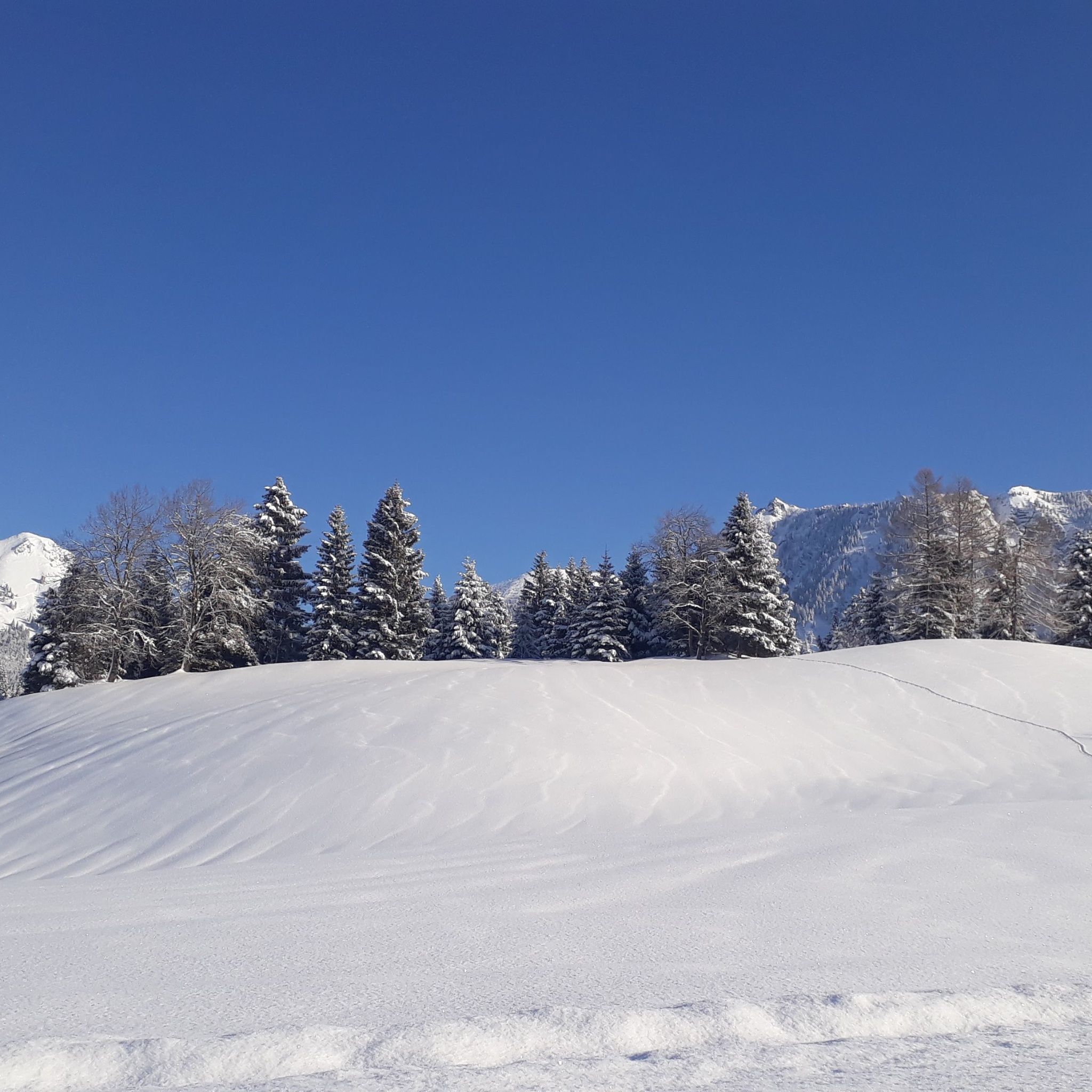
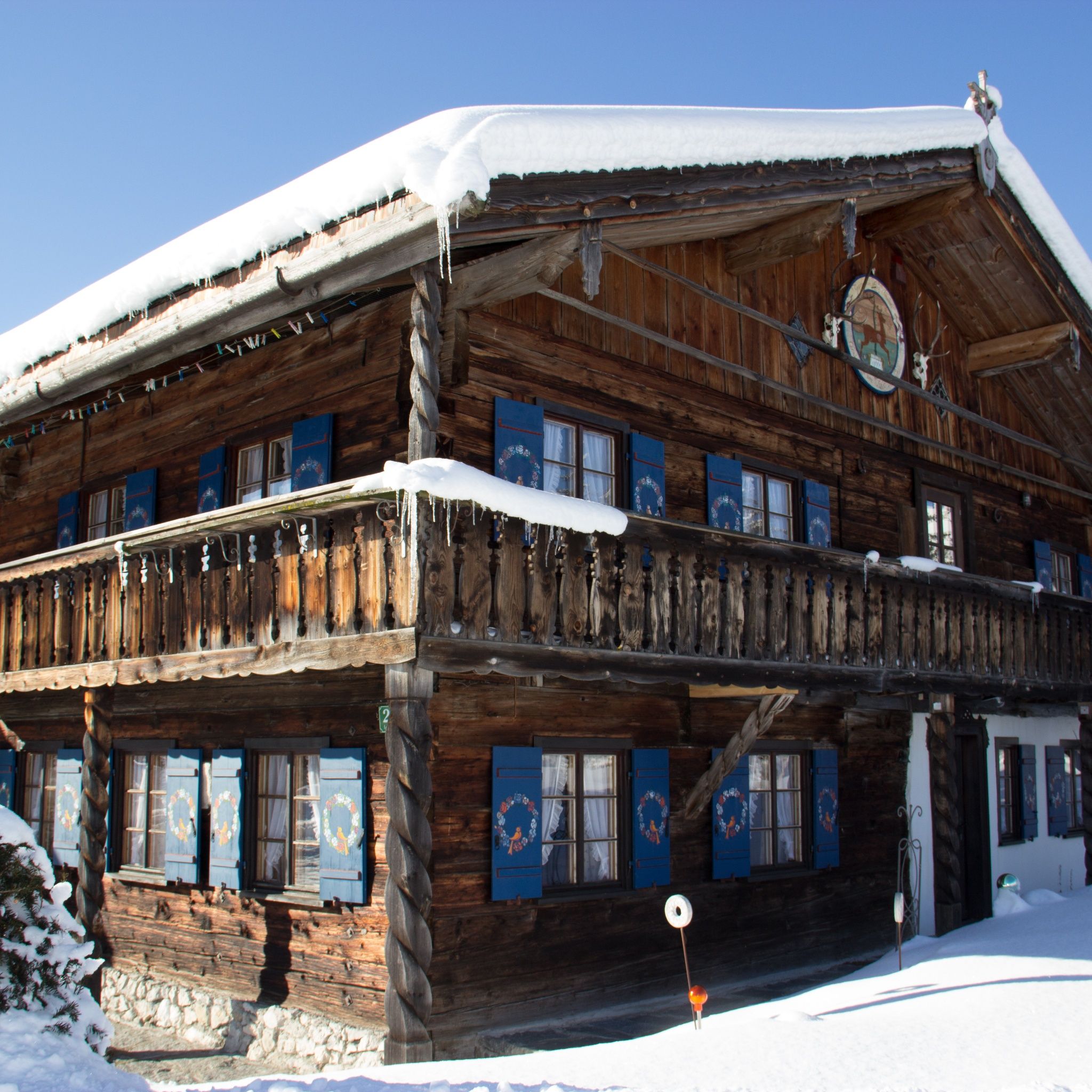
Winter hike Tannheim - Grän

Tannheim / Allgäu Alps
Difficulty ratings: easy
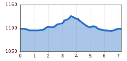
Route length: 7.2 km
Duration: 1:48 h

A nice and comfortable tour for the whole family.
Tour information

  • Requirement: easy
  • Length: 7.2 km
  • Duration: 1:48 h
  • Elevation uphill:43 hm
  • Elevation downhill:43 hm
Highest point1,130 m

Starting point

Tannheim local centre

Finishing point

Tannheim local centre
  • Fitness level 1 / 6
  • Technique 1 / 6

Best time of year

  • January
  • February
  • March
  • April
  • May
  • June
  • July
  • August
  • September
  • October
  • November
  • December

Equipment

It should be noted that winter hiking also involves an increased risk of accidents and injuries. Especially in winter, special attention must be paid to the condition of the paths. Depending on the length and choice of route, good tour planning and physical fitness are essential. Suitable clothing, good shoes and possibly hiking sticks provide additional safety. Stay on the marked paths. An up-to-date and well-kept/maintained equipment (shoes, sticks and clothes) not only provides a considerable degree of safety but also makes winter hiking much easier. Sun protection (high protection factor and possibly sunglasses) as well as sufficient liquid should not be forgotten.
Source: Tannheimer Tal

Description

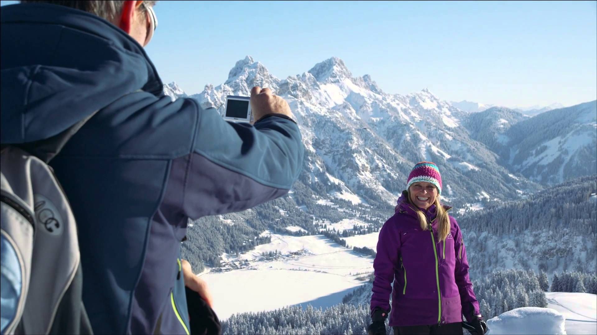
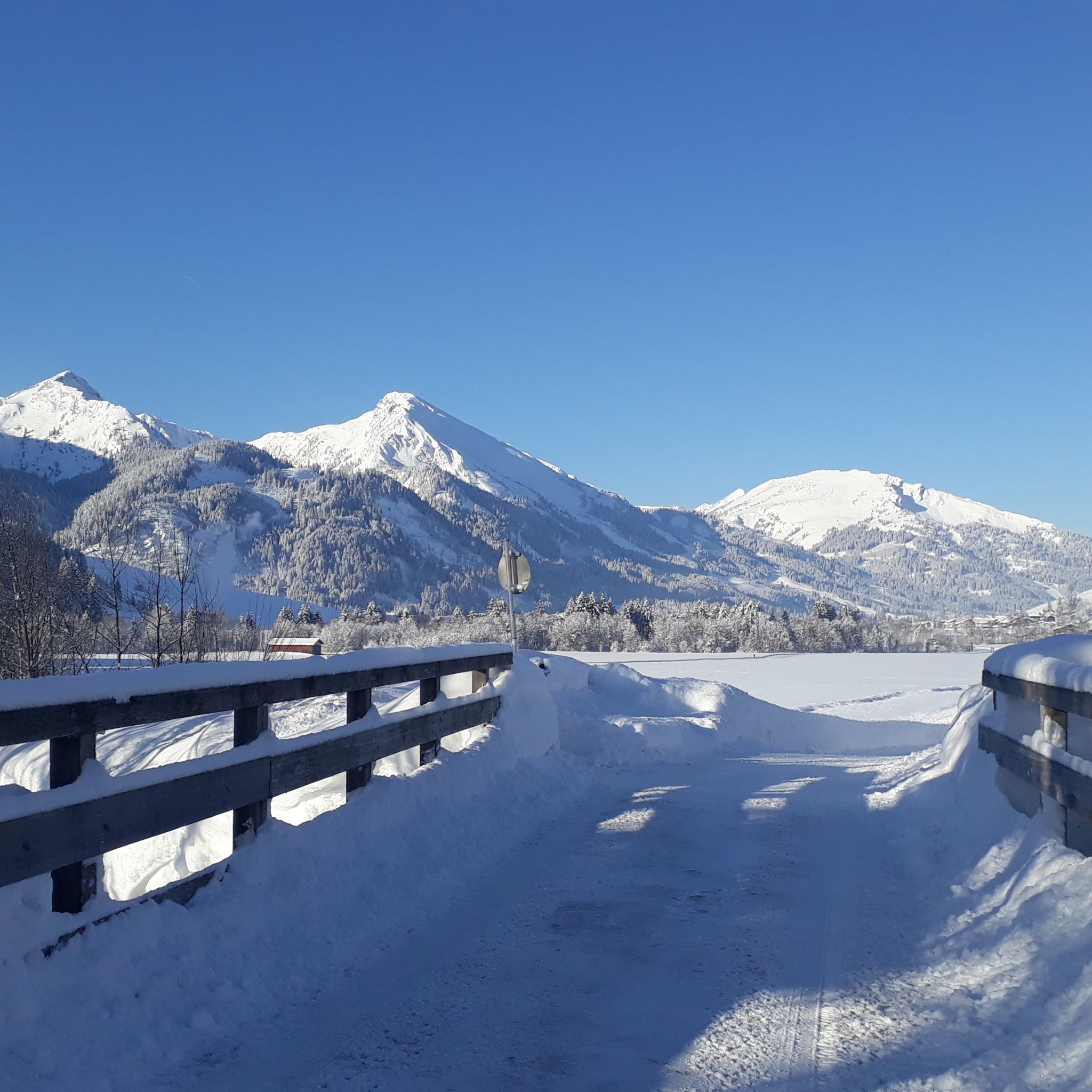
It does not always have to be skiing, snowboarding or cross-country skiing. On almost 81 kilometres of cleared paths, hikers roam through the snow-covered fairytale landscape. Along the way, cosy huts invite you to stop for a break. Sitting by the open fire, warming up with a Jaga tea or fortifying yourself with a snack for the next few kilometres - this is how you can enjoy snow walks to the full.

Getting here

  • Arrival by public transport

    By train to Sonthofen, Pfronten/Ried or Reutte, then by bus to Tannheim.

  • Parking

    On the motorway A7 at the exit "Oy-Mittelberg" on the B310 towards Wertach and to Oberjoch. There follow the signposting "Tannheimer Tal" B199, exit Tannheim.From the Tyrolean side via Reutte on the B198 towards Lechtal until Weißenbach, over the Gaichtpass along the B199 until exit Tannheim.
    At the valley station of the Neunerköpfle cable car - with costs

Weather

Today

clear sky
23°C/6°C
5 km/h
Snow depth
Now: 0 cm,
Next snowfall: No data available
Go to weather forecast
Newsletter

The mountain is calling? So does our newsletter!

In our monthly newsletter we reveal the best holiday tips for Tyrol.