
Arrival by public transport
by public bus lin 952, busstop Taurer
Leisurely hike in the heart of the mountains for young and old
Basic equipmentformountainhikingincludessturdy hiking bootswith a goodtread, a 30-35 literbackpack, and functionalclothingbased on thelayeringprinciple, includingsufficient spare clothes. Essential itemsare rain, cold, and sunprotection, adequatefluids and food, aswellas a first-aid kit and a charged mobile phone. A mapor a GPS devicesupportsorientation.
The informationservesas a guideline and does not claimtobe exhaustive. Equipment mustalwaysbeadaptedtothe planned route, weatherconditions, season, naturalhazards, environmental influences, and personal needs.
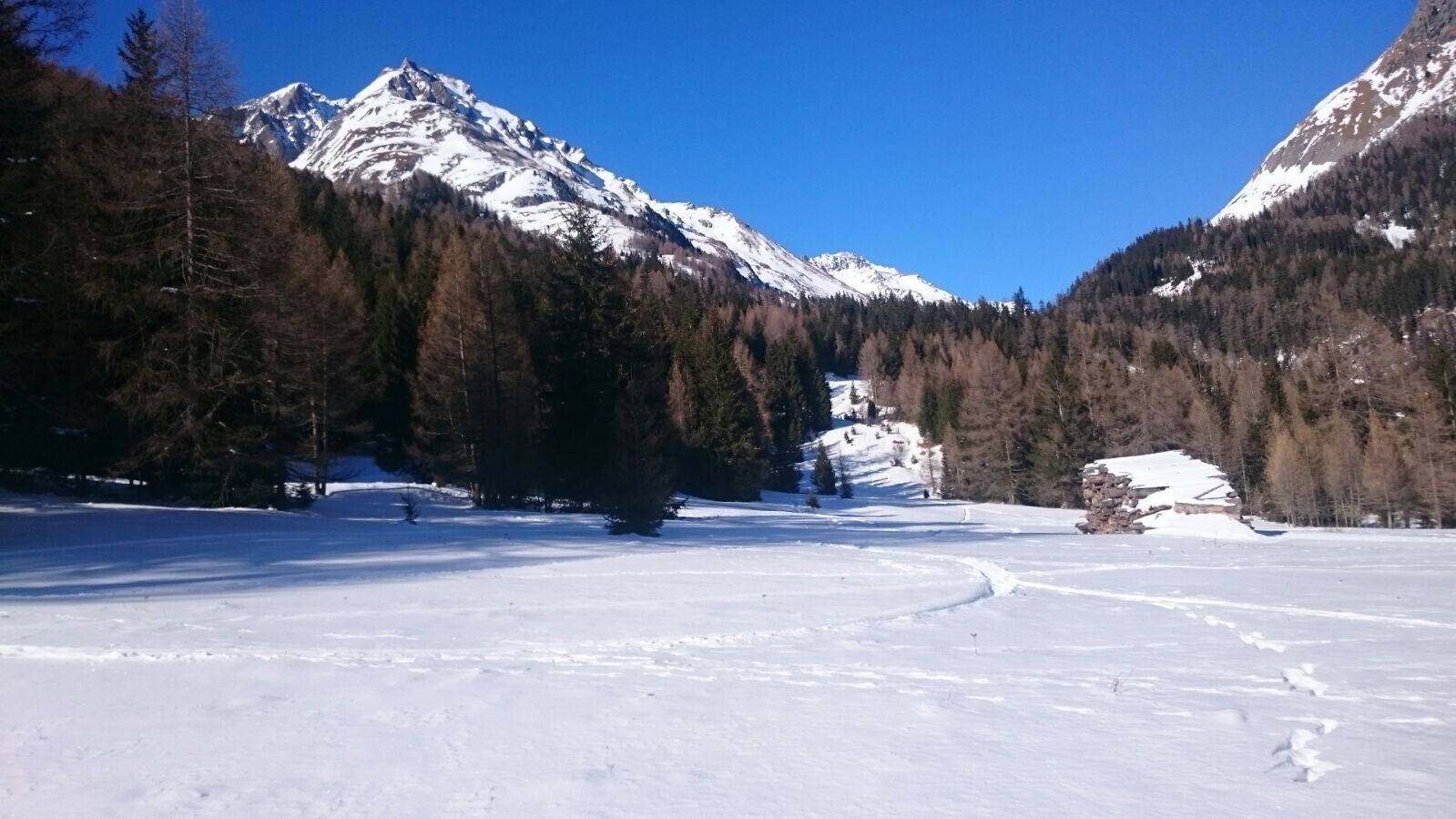
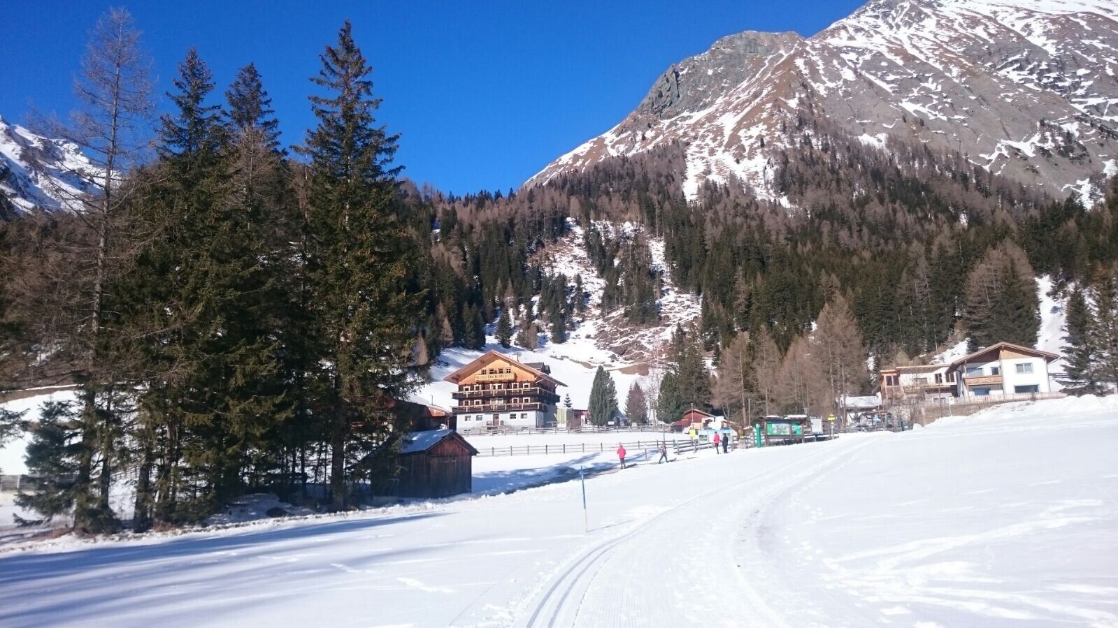
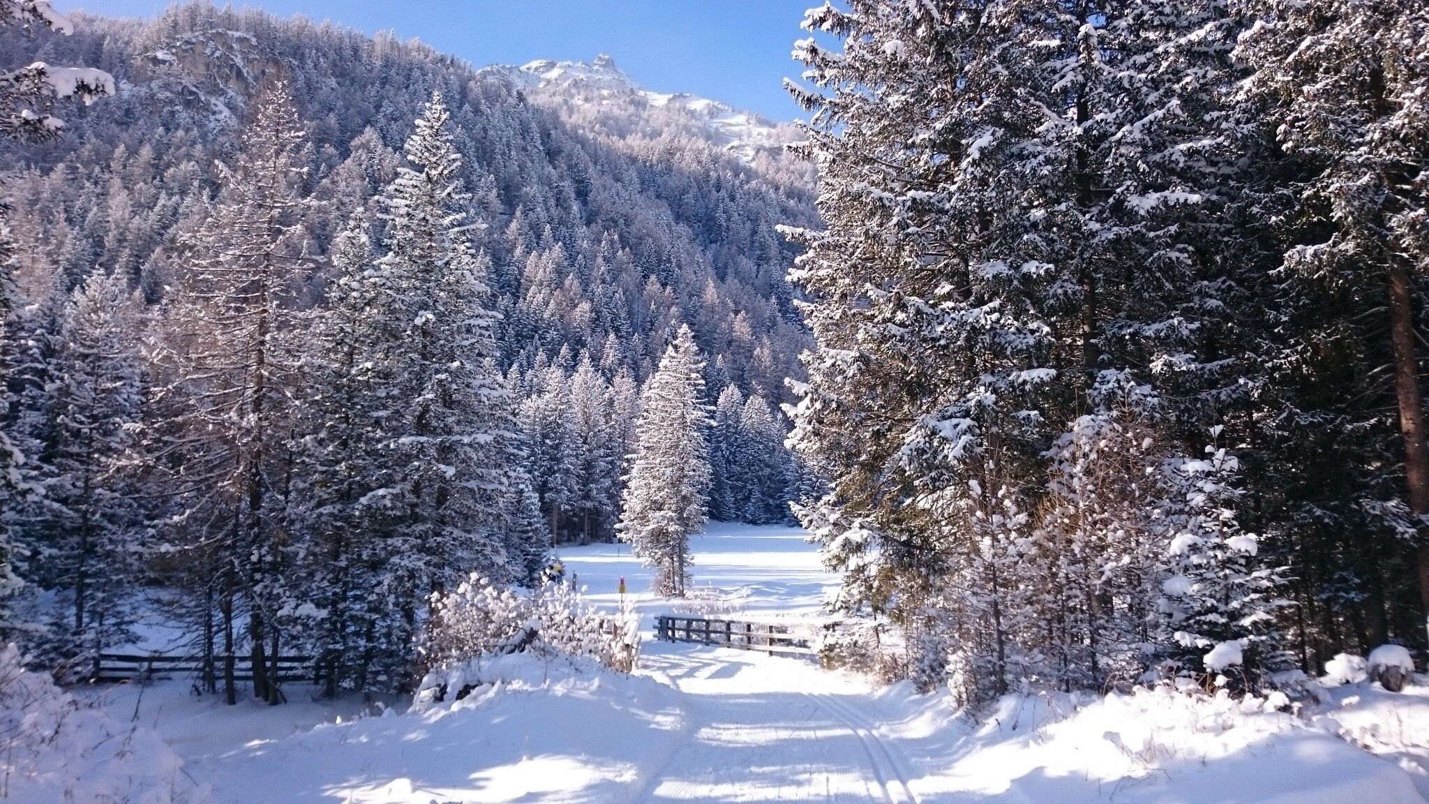
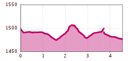
In a fantastic winter setting, this easy walk can be shortened or extended. With views of the surrounding mountains, this varied route leads through almost flat terrain, across fields, through forests and along the stream. The hiking trail connects the district of Taurer, Gradonna and the National Park Campsite. Refreshments are available at the Taurerwirt hiking hotel or the Gradonna Mountain Resort.
by public bus lin 952, busstop Taurer
by car at the parking Dorfertal


