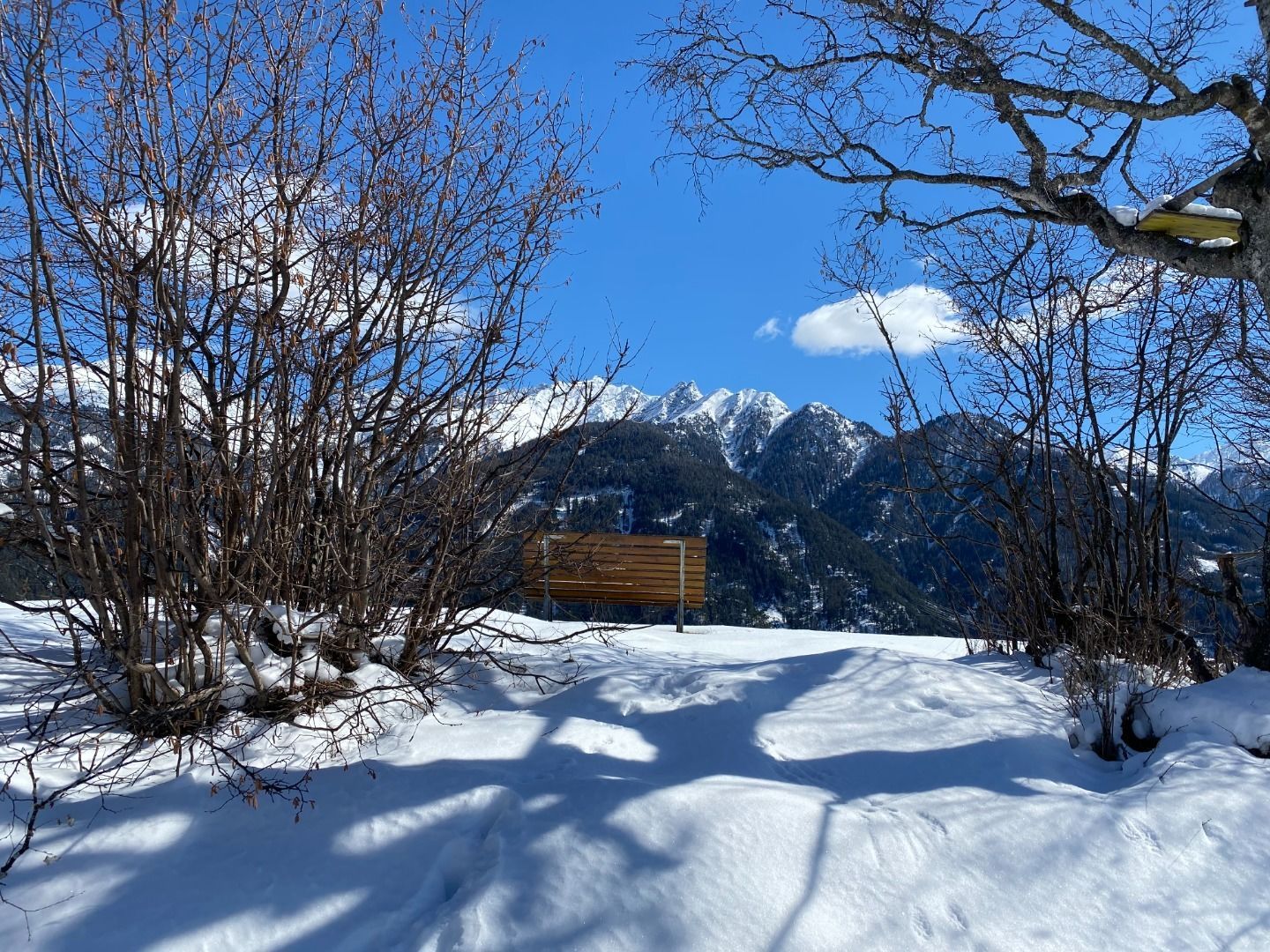
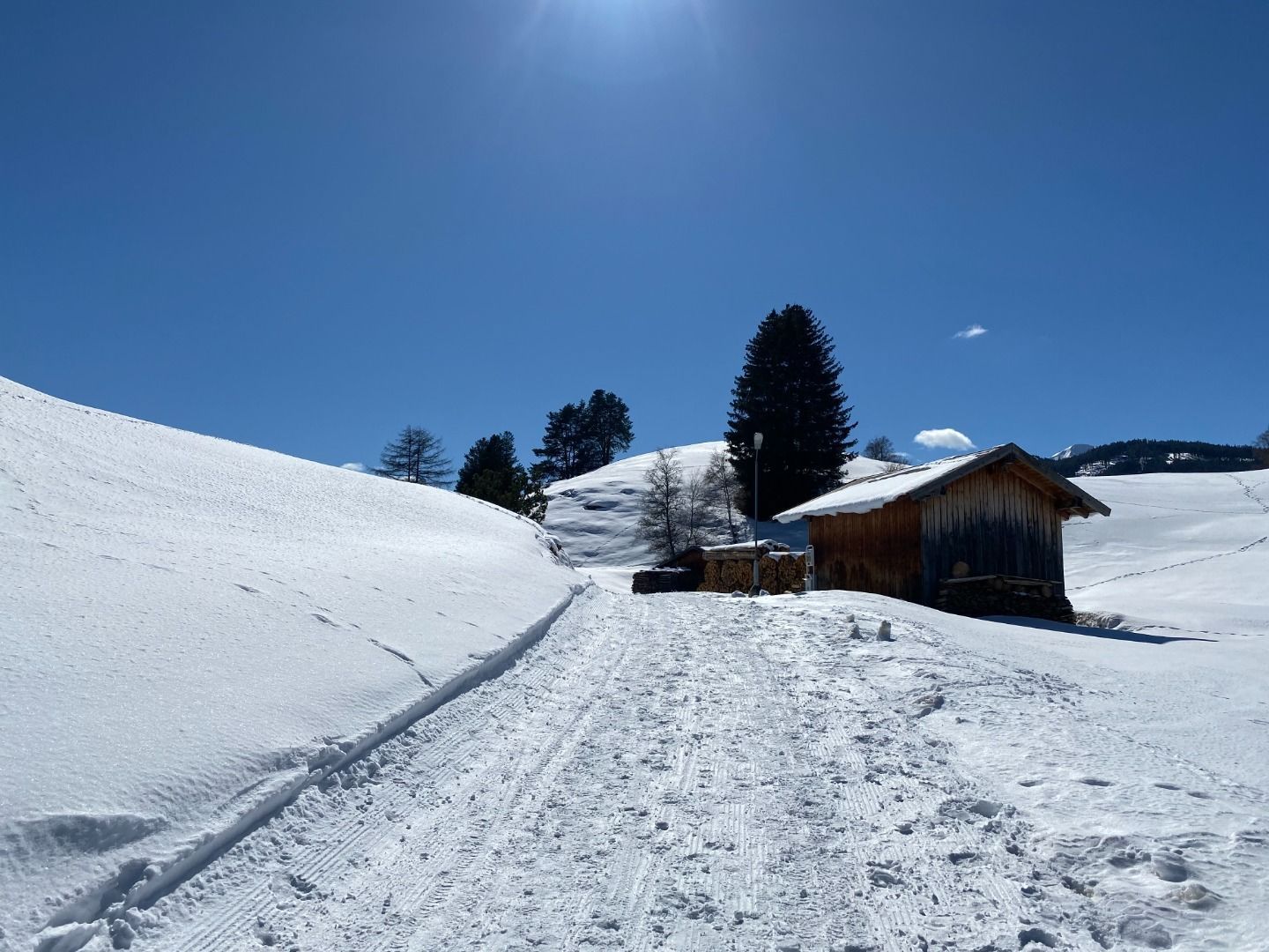
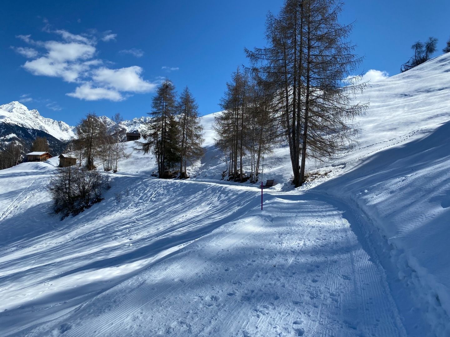
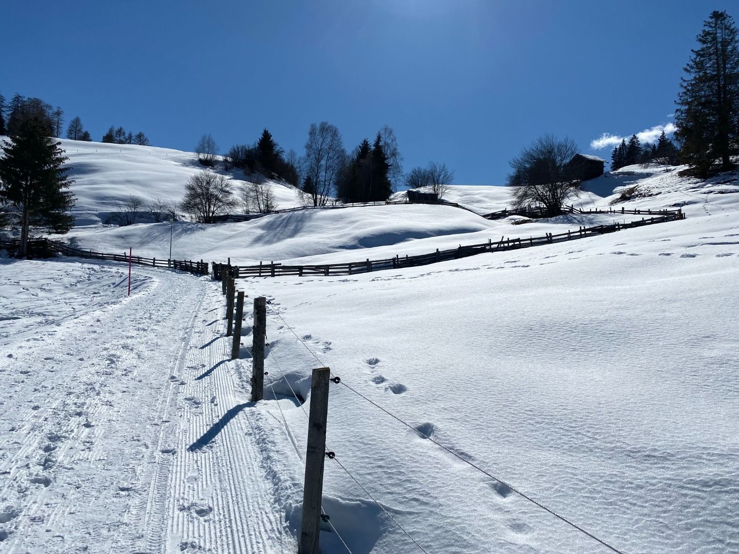
Winter hike Wanderweg über Fallmied nach Serfaus
closed
Fiss / Samnaun Group
Difficulty ratings: easy
Route length: 3.3 km
Duration: 1:00 h

Wanderweg über Fallmied nach Serfaus
Tour information

  • Requirement: easy
  • Length: 3.3 km
  • Duration: 1:00 h
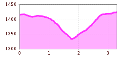
  • Elevation uphill:90 hm
  • Elevation downhill:78 hm
Highest point1,426 m

Starting point

Main street Fiss

Finishing point

Day parking area Serfaus
  • Fitness level 1 / 6

Features

  • suitable for pushchairs
Source: Serfaus-Fiss-Ladis

Description

The pedestrian path starts at the cable car parking lot (Fissmed) heading towards Serfaus. At the junction (S015), the path changes to Fallmiederstraße, continuing to the settlement of Fallmied (S014). From there, Muanesweg No. 2 leads to Serfaus.
 

Weather

Today

clear sky
26°C/10°C
5%0l5 km/h

Wed

light rain showers
27°C/14°C
60%4.8l5 km/h

Thu

clear sky
30°C/13°C
0%0l5 km/h
Go to weather forecast

More tours in the surrounding area

Newsletter

The mountain is calling? So does our newsletter!

In our monthly newsletter we reveal the best holiday tips for Tyrol.