
Arrival by public transport
Travel by train to Landeck-Zams railway station. From there, change to bus line 220 towards Serfaus-Fiss-Ladis.
A peaceful hike along the Herrenweg through the varied landscape around Ladis. The trail leads through forests and meadows and is ideal for a relaxing walk away from the hustle and bustle.
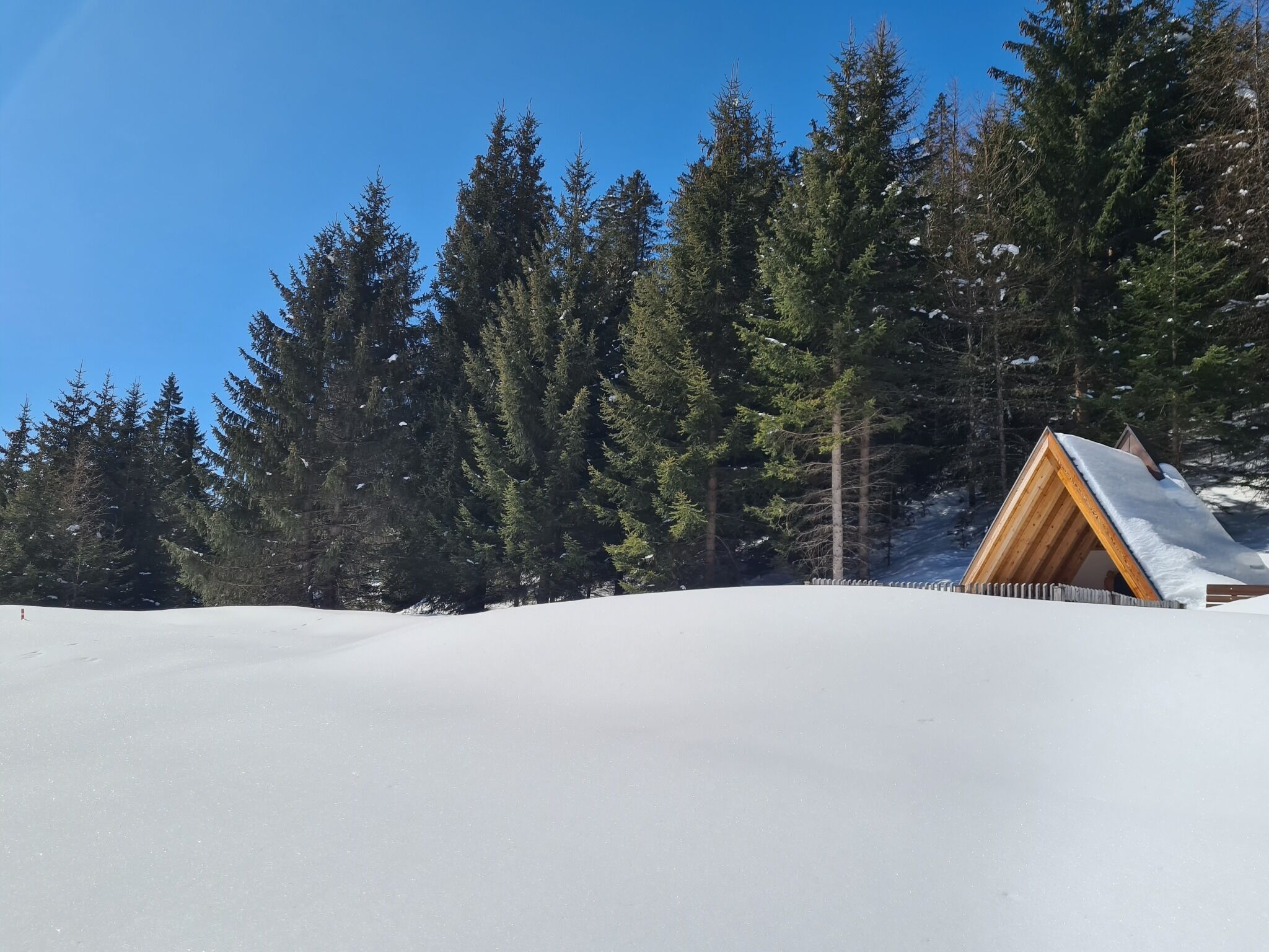
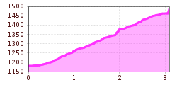
The Herrenweg starts at the last bend before Café Obladis (L063), merging into the Wodeweg and leading to the Wodeturm. Please note: This forest path is not groomed or cleared.
Travel by train to Landeck-Zams railway station. From there, change to bus line 220 towards Serfaus-Fiss-Ladis.
Parking is available in Ladis. Depending on the starting point of the tour, different car parks are available. The car parks are subject to a fee.


