Winter hike Wiesenweg nach Ladis

closed
Fiss / Samnaun Group
Difficulty ratings: easy
Route length: 2.4 km
Duration: 1:00 h

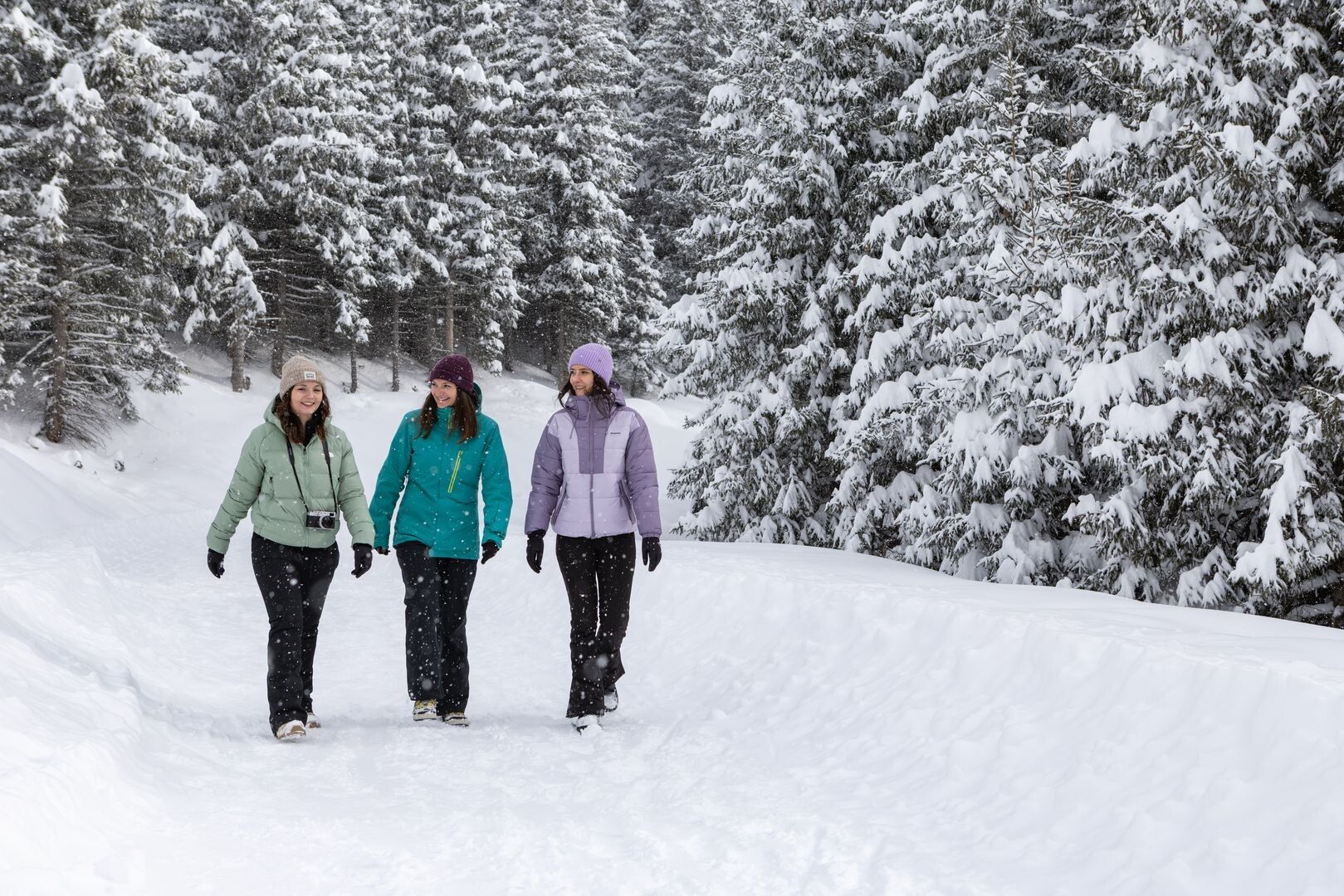
A varied hike from Fiss to Ladis along the Wiesenweg. The route leads through open meadows and connects the two villages along a peaceful trail with beautiful views.
Tour information

  • Requirement: easy
  • Length: 2.4 km
  • Duration: 1:00 h
  • Elevation uphill:0 hm
  • Elevation downhill:155 hm
Highest point1,431 m

Starting point

Josefkapelle (F001)

Finishing point

Ladis
  • Fitness level 2 / 6

Best time of year

  • January
  • February
  • March
  • April
  • May
  • June
  • July
  • August
  • September
  • October
  • November
  • December
Source: Serfaus-Fiss-Ladis

Description

The route starts at St Joseph’s Chapel (F001). Pass Wolfsee lake and head towards Bertas Indianerland. Below that, cross the track to Weiberkessl and continue on to Ladis.

Getting here

  • Arrival by public transport

    Travel by train to Landeck-Zams railway station. From there, change to bus line 220 towards Serfaus-Fiss-Ladis.

  • Parking

    By car via the A12 motorway to the Landeck exit, then follow the B171 and L19 towards Fiss. In Fiss, follow the signs to the respective starting point of the tour.


    Parking is available in Fiss. Depending on the starting point of the tour, different car parks are available. The car parks are subject to a fee.

Weather

Today

clear sky
11°C/-2°C
0%0l0 km/h

Fri

clear sky
10°C/0°C
25%1.5l0 km/h

Sat

light rain showers
6°C/0°C
30%2.6l0 km/h
Go to weather forecast

More tours in the surrounding area

  • Winter walk along the Waldweg Hög

    Opening hours:closed
    Difficulty:easy
    Length:5.0 kmDuration:1:45 hElevation uphill:33 m
  • Fisser Kraft- und Sinnesweg

    Opening hours:closed
    Difficulty:easy
    Length:3.2 kmDuration:1:00 hElevation uphill:10 m
  • Hiking trail to the Frommes Alp

    Opening hours:closed
    Difficulty:easy
    Length:3.9 kmDuration:1:30 hElevation uphill:273 m
  • Six Senses trail

    Opening hours:closed
    Difficulty:easy
    Length:5.7 kmDuration:4:00 hElevation uphill:10 m
Newsletter

The mountain is calling? So does our newsletter!

In our monthly newsletter we reveal the best holiday tips for Tyrol.
