Winter hike Winter hike intermediate station - Hochzeiger Haus/Stadlerhütte - Kaitanger
closed
Jerzens im Pitztal / Ötztal Alps
Route length: 5.3 km
Duration: 1:30 h

Winter hike intermediate station - Hochzeiger Haus/Stadlerhütte - Kaitanger
Tour information

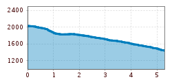
  • Length: 5.3 km
  • Duration: 1:30 h
  • Elevation uphill:0 hm
  • Elevation downhill:600 hm
Highest point2,000 m

Starting point

Zeigerrestaurant

Finishing point

Kaitanger
  • Fitness level 6 / 6
  • Technique 3 / 6

Features

  • Suitable for families

Best time of year

  • January
  • February
  • March
  • April
  • May
  • June
  • July
  • August
  • September
  • October
  • November
  • December

Trail condition

Winter hiking path
Source: TVB Pitztal

Description

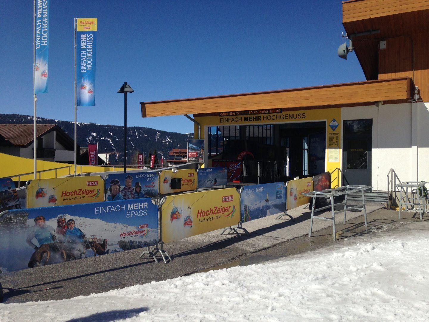
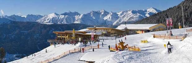
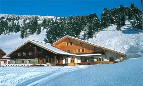
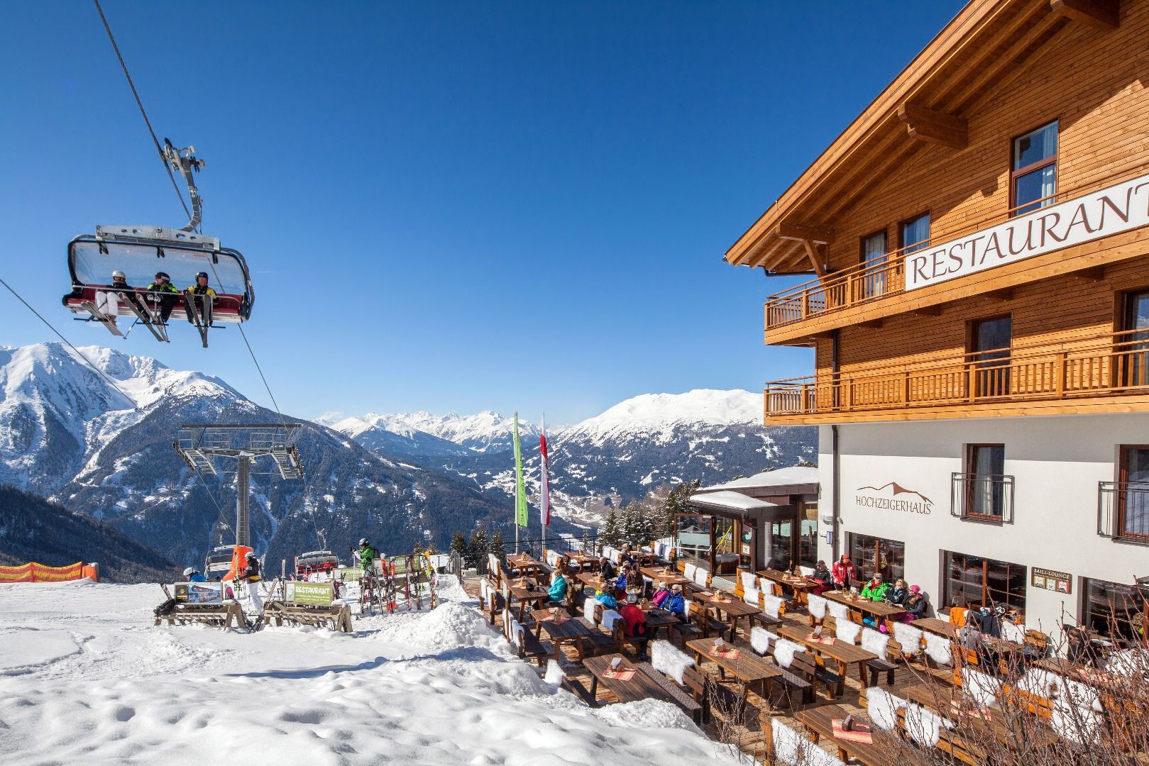
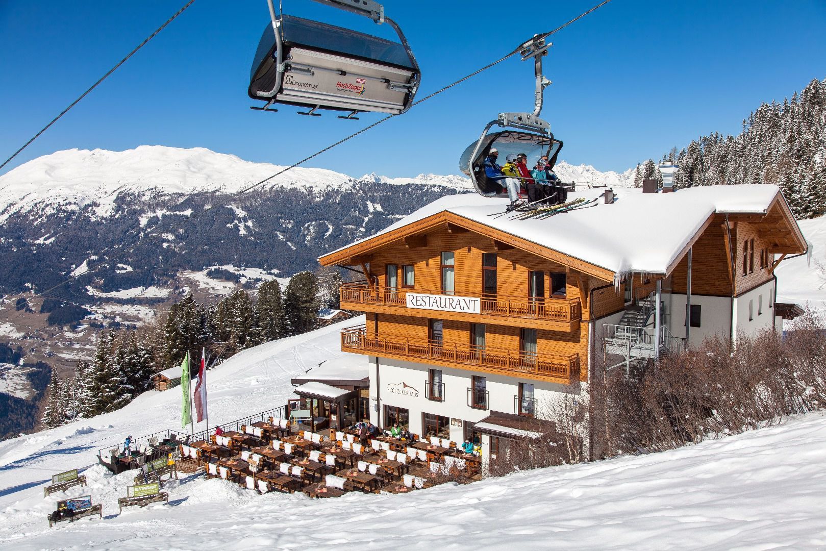
Starting point for the 5.3 km winter hiking route is the Zeigerrestaurant at the intermediate station on 2,000 m.  You can reach the Hochzeiger Haus/Stalderhütte at 1,840 m within 30 minutes. Continuethe road downhill for ca. 4 km to the hamlet Kaitanger (approx. 1 hr).

Nearby huts and mountain restaurants

Getting here

  • Arrival by public transport

    Take the bus to the Jerzens Hochzeiger bus stop. Then take the gondola to the starting point at the Zeigerrestaurant at the middle station.

  • Parking

    Liss/Hochzeiger Mountain Railways parking lot

Weather

Today

clear sky
19°C/6°C
0 km/h
Snow depth
Now: 0 cm,
Next snowfall: No data available
Go to weather forecast Go to snow report
Newsletter

The mountain is calling? So does our newsletter!

In our monthly newsletter we reveal the best holiday tips for Tyrol.