
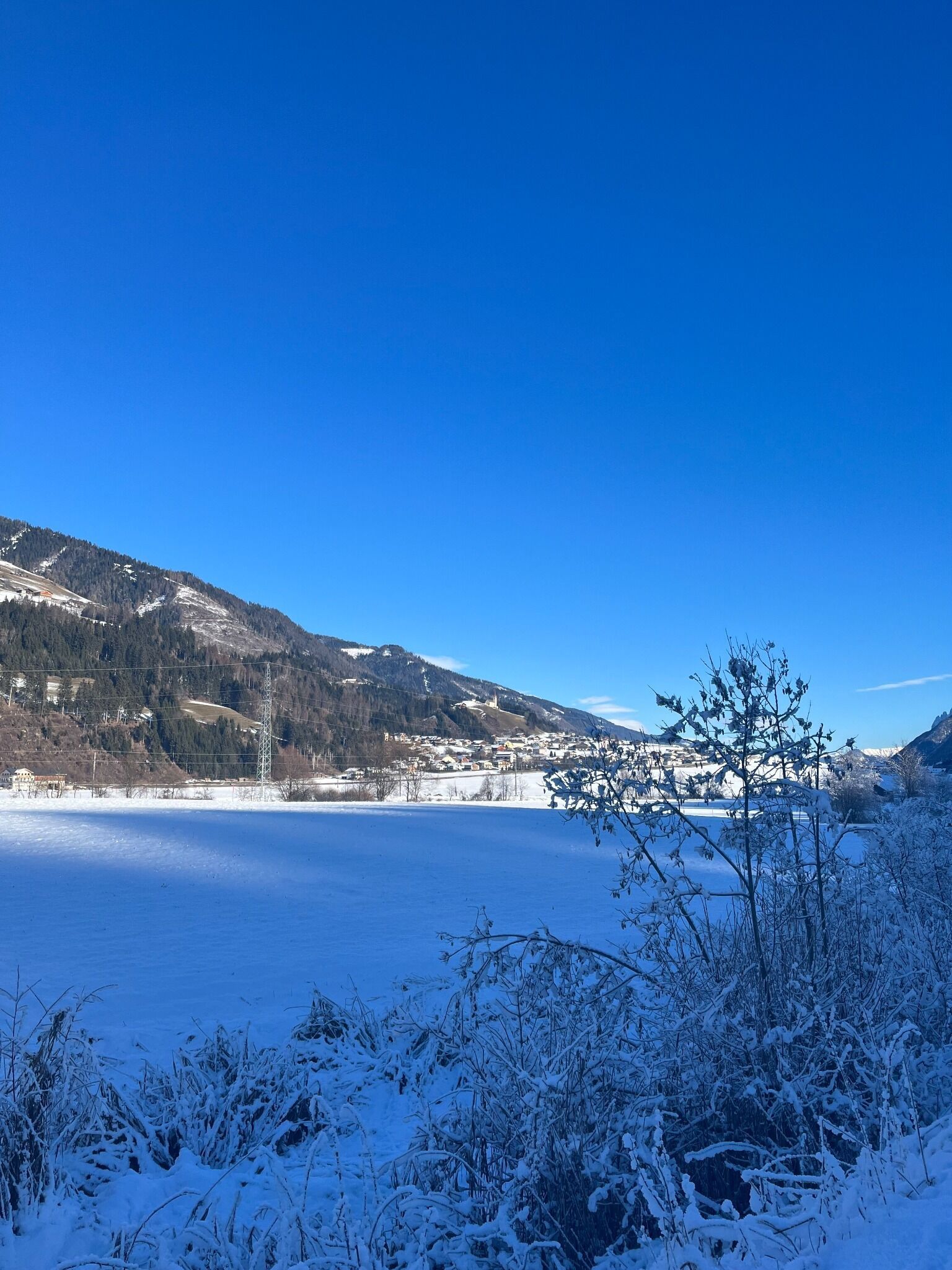
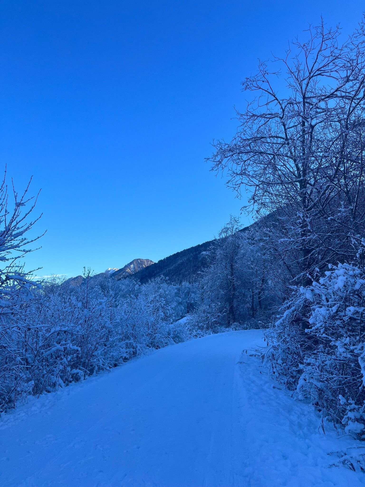
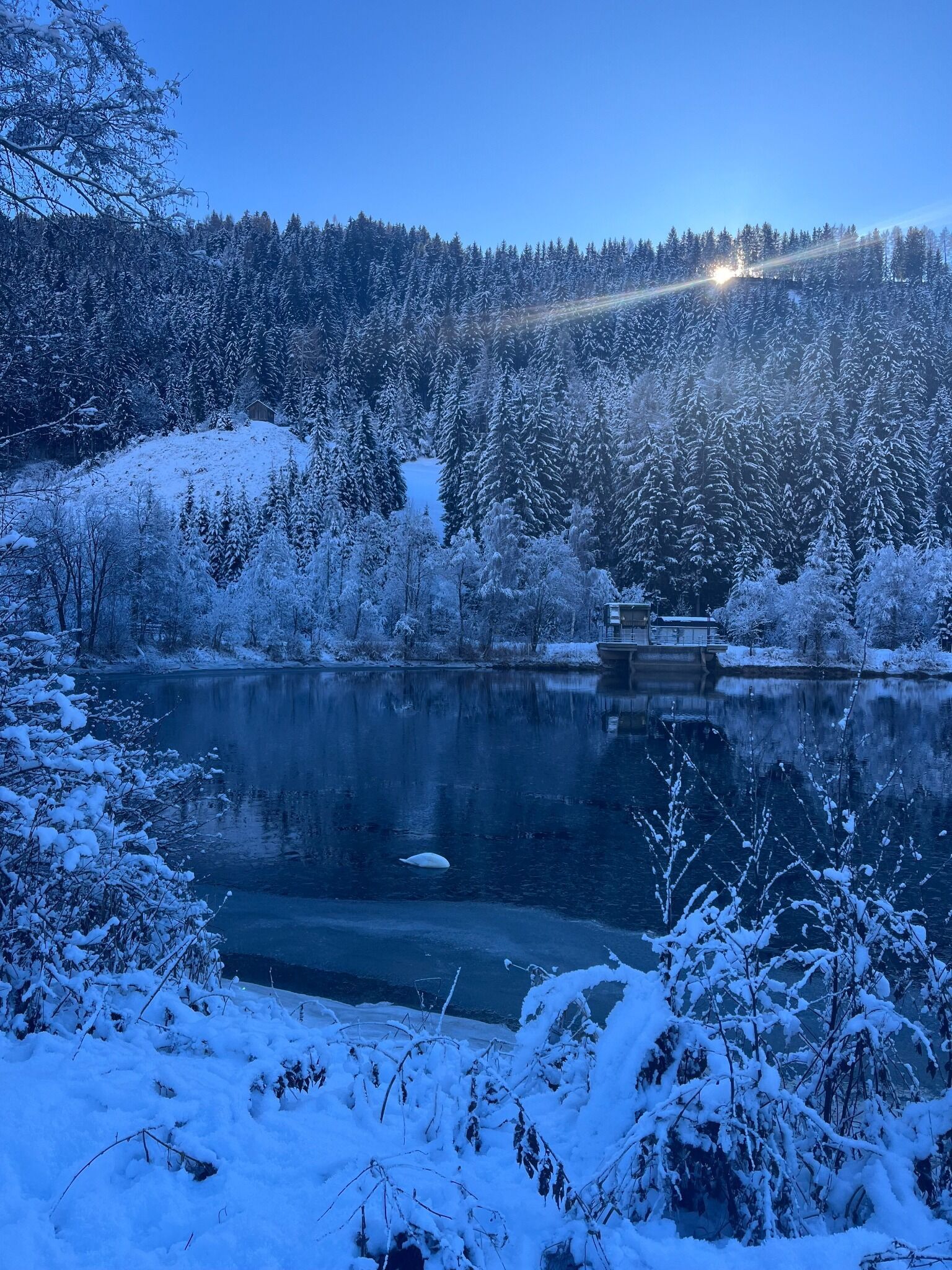
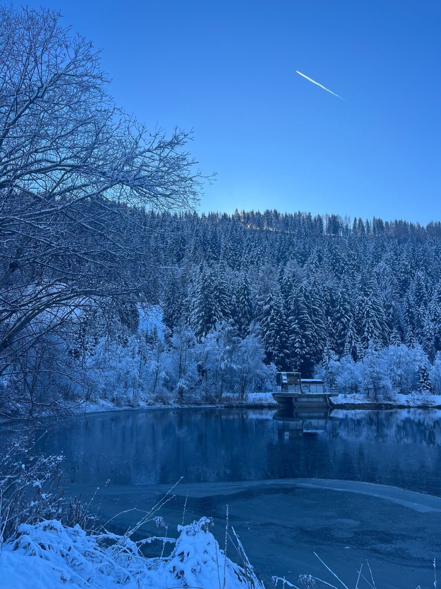
Winter hike Winter hiking Circuit of the reservoir

closed
Strassen /
Difficulty ratings: easy
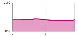
Route length: 1.8 km
Duration: 0:30 h

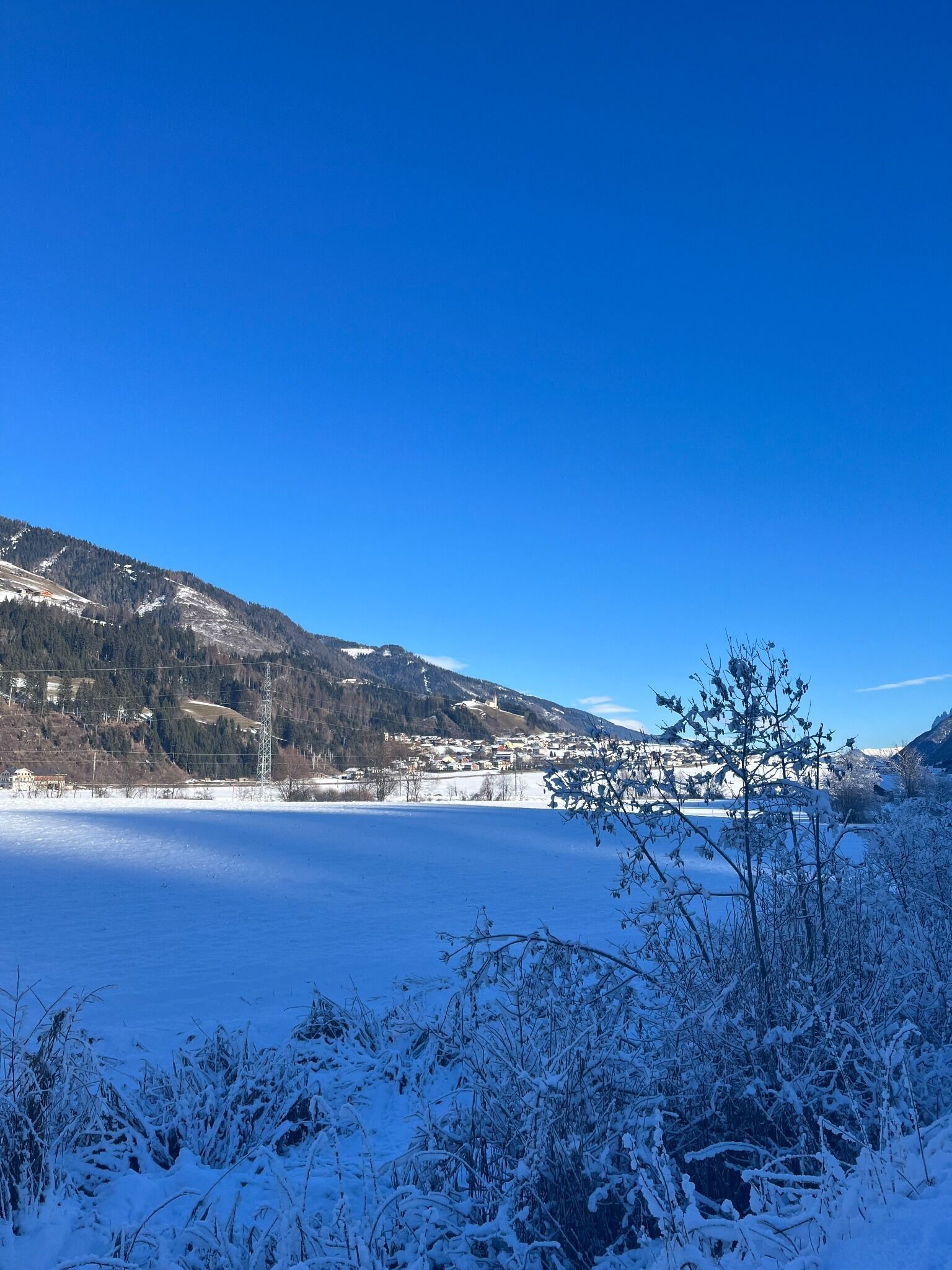
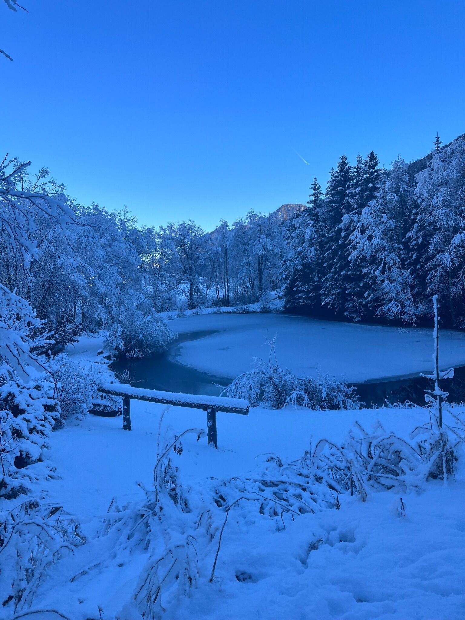
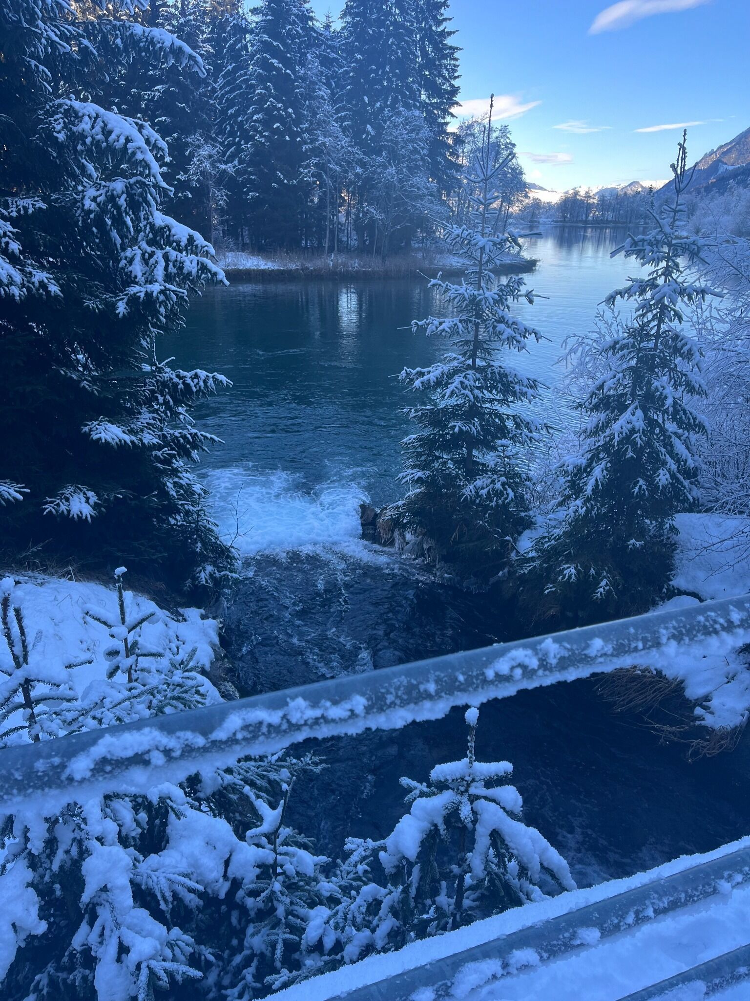
Relaxing walk with explanations of the region's flora and fauna

Tour information

  • Requirement: easy
  • Length: 1.8 km
  • Duration: 0:30 h
  • Elevation uphill:5 hm
  • Elevation downhill:0 hm
Highest point1,073 m
  • Fitness level 1 / 6
  • Technique 1 / 6

Features

  • Circular route

Best time of year

  • January
  • February
  • March
  • April
  • May
  • June
  • July
  • August
  • September
  • October
  • November
  • December

Equipment

Basic equipmentformountainhikingincludessturdy hiking bootswith a goodtread, a 30-35 literbackpack, and functionalclothingbased on thelayeringprinciple, includingsufficient spare clothes. Essential itemsare rain, cold, and sunprotection, adequatefluids and food, aswellas a first-aid kit and a charged mobile phone. A mapor a GPS devicesupportsorientation. 

The informationservesas a guideline and does not claimtobe exhaustive. Equipment mustalwaysbeadaptedtothe planned route, weatherconditions, season, naturalhazards, environmental influences, and personal needs. 


Source: TVB Osttirol

Description

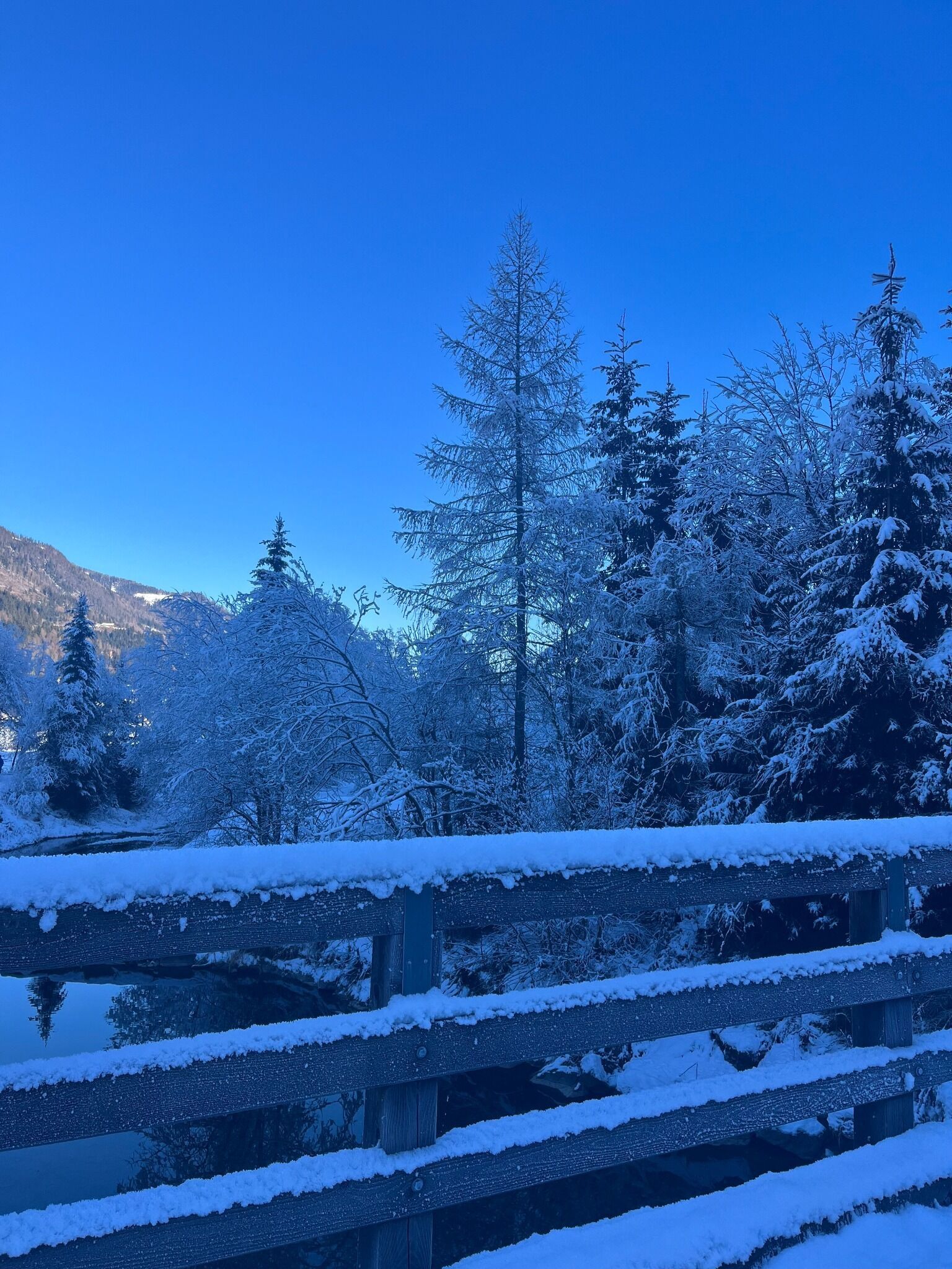
This circuit on a wide gravel trail proceeds partly through the forest too and takes some half an hour.

Getting here

  • Arrival by public transport

    Mit dem Bus bis zur Haltestelle "Tassenbach Bahnhof"

  • Parking

    Mit dem Auto bis zum Sportplatz in Tassenbach
    Parkplatz beim Sportplatz in Tassenbach

Weather

Today

light rain showers
9°C/2°C
85%7l10 km/h

Thu

mainly clear
4°C/1°C
5%0l5 km/h

Fri

clear sky
5°C/0°C
0%0l10 km/h

More tours in the surrounding area

Newsletter

The mountain is calling? So does our newsletter!

In our monthly newsletter we reveal the best holiday tips for Tyrol.
