
Arrival by public transport
Mit dem Bus bis zur Haltestelle Jägerer
Walk in Innervillgraten
Basic equipmentformountainhikingincludessturdy hiking bootswith a goodtread, a 30-35 literbackpack, and functionalclothingbased on thelayeringprinciple, includingsufficient spare clothes. Essential itemsare rain, cold, and sunprotection, adequatefluids and food, aswellas a first-aid kit and a charged mobile phone. A mapor a GPS devicesupportsorientation.
The informationservesas a guideline and does not claimtobe exhaustive. Equipment mustalwaysbeadaptedtothe planned route, weatherconditions, season, naturalhazards, environmental influences, and personal needs.
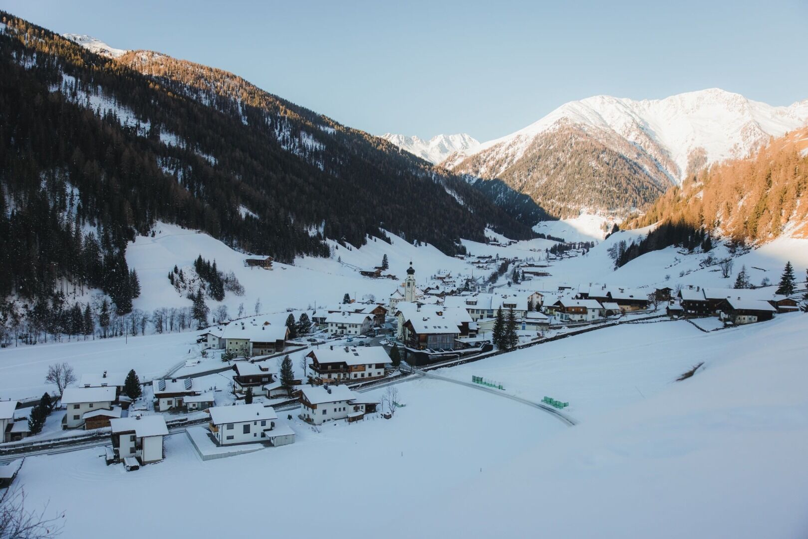
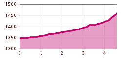
Starting a kilometre after the village limits of Innervillgraten at the ‘Pranausiedlung’, head into the valley on the left side of Villgrater Bach for around 3 km until you get to Jennewein bridge, just before the point the road branches off to Maxer, where the paths (rural and district roads) proceed to the Unterstalleralm and Kalkstein.
Mit dem Bus bis zur Haltestelle Jägerer
Mit dem Auto bis ins Ortszentrum von Innervillgraten
Parkplatz im Dorfzentum


