Winter hike Winterwanderweg am Gachenblick

closed
Fliess / Ötztal Alps
Route length: 5.5 km
Duration: 1:30 h

Tour information

  • Length: 5.5 km
  • Duration: 1:30 h
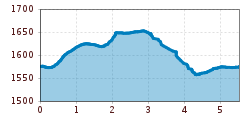
  • Elevation uphill:110 hm
  • Elevation downhill:110 hm
Highest point1,657 m

Starting point

Nature Park Centre Kaunergrat at Gachenblick

Finishing point

Nature Park Centre Kaunergrat at Gachenblick
  • Fitness level 3 / 6
  • Technique 2 / 6

Features

  • Circular route
  • Suitable for families

Best time of year

  • January
  • February
  • March
  • April
  • May
  • June
  • July
  • August
  • September
  • October
  • November
  • December

Trail condition

winter hiking path
Source: TVB Pitztal

Description

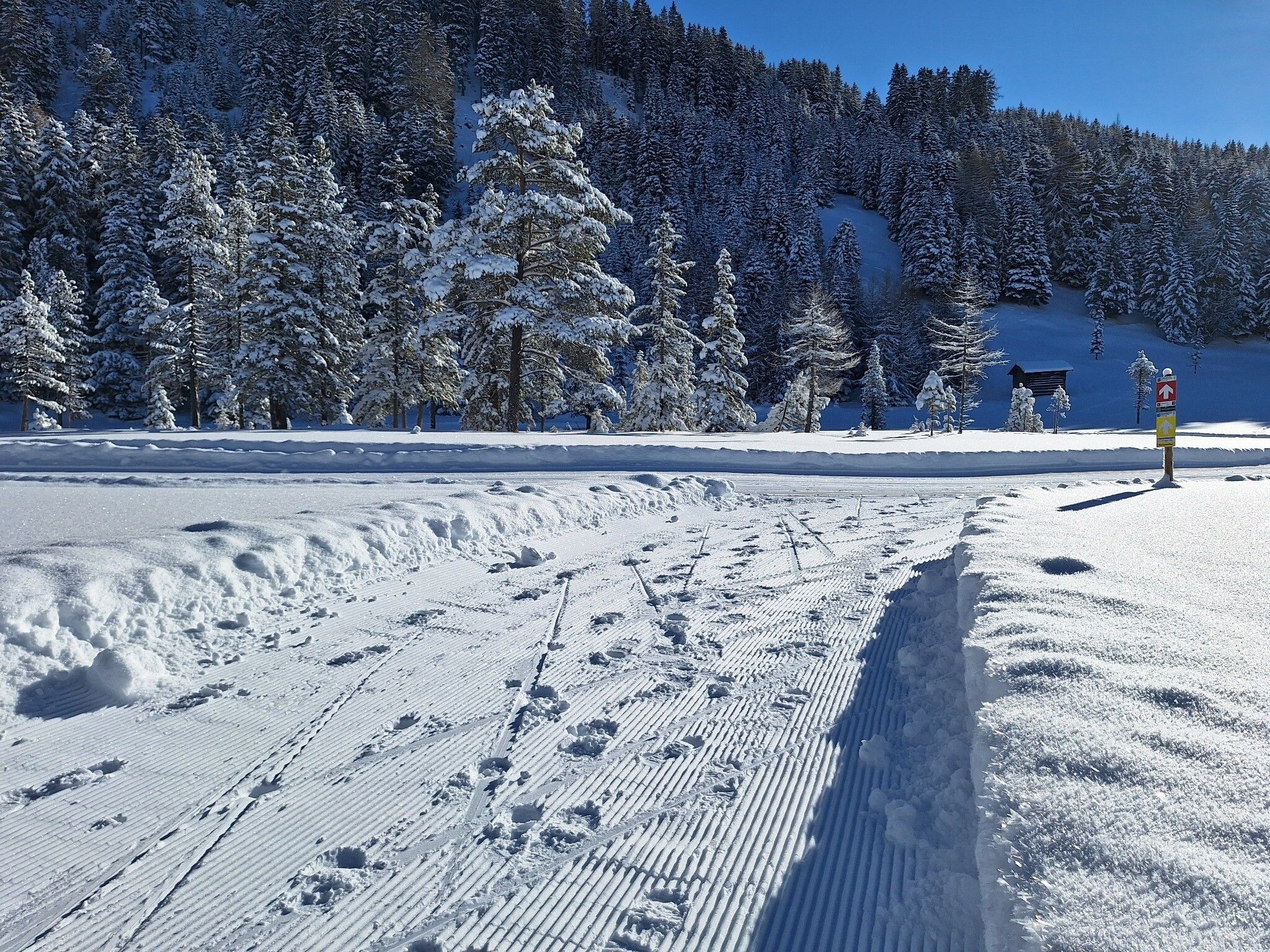
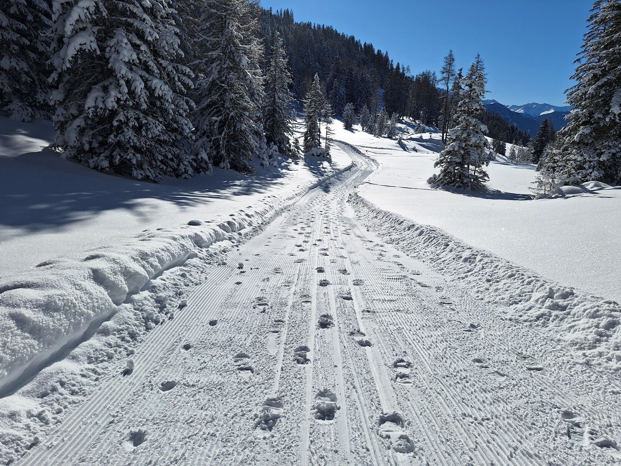
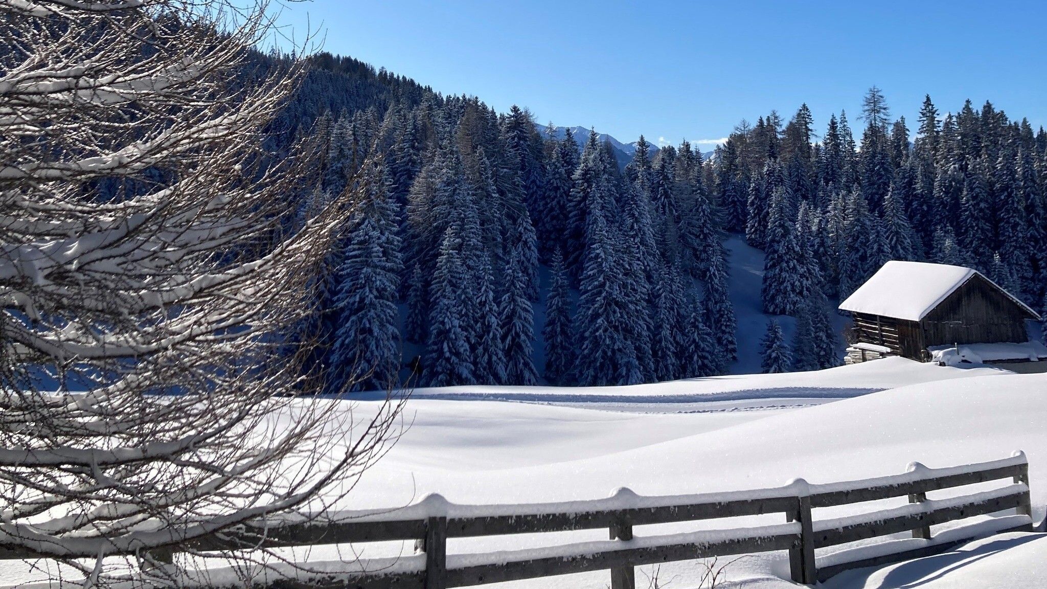
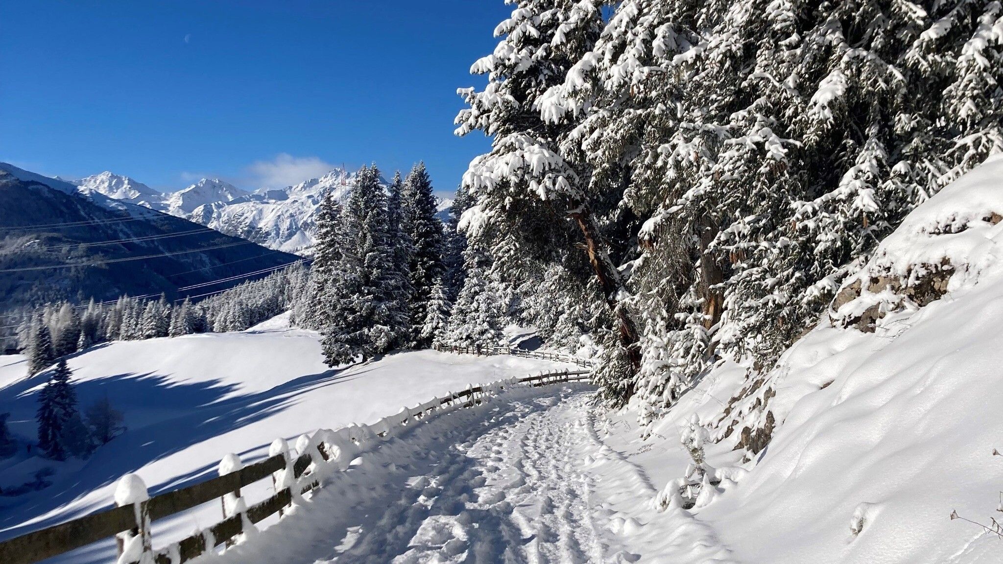
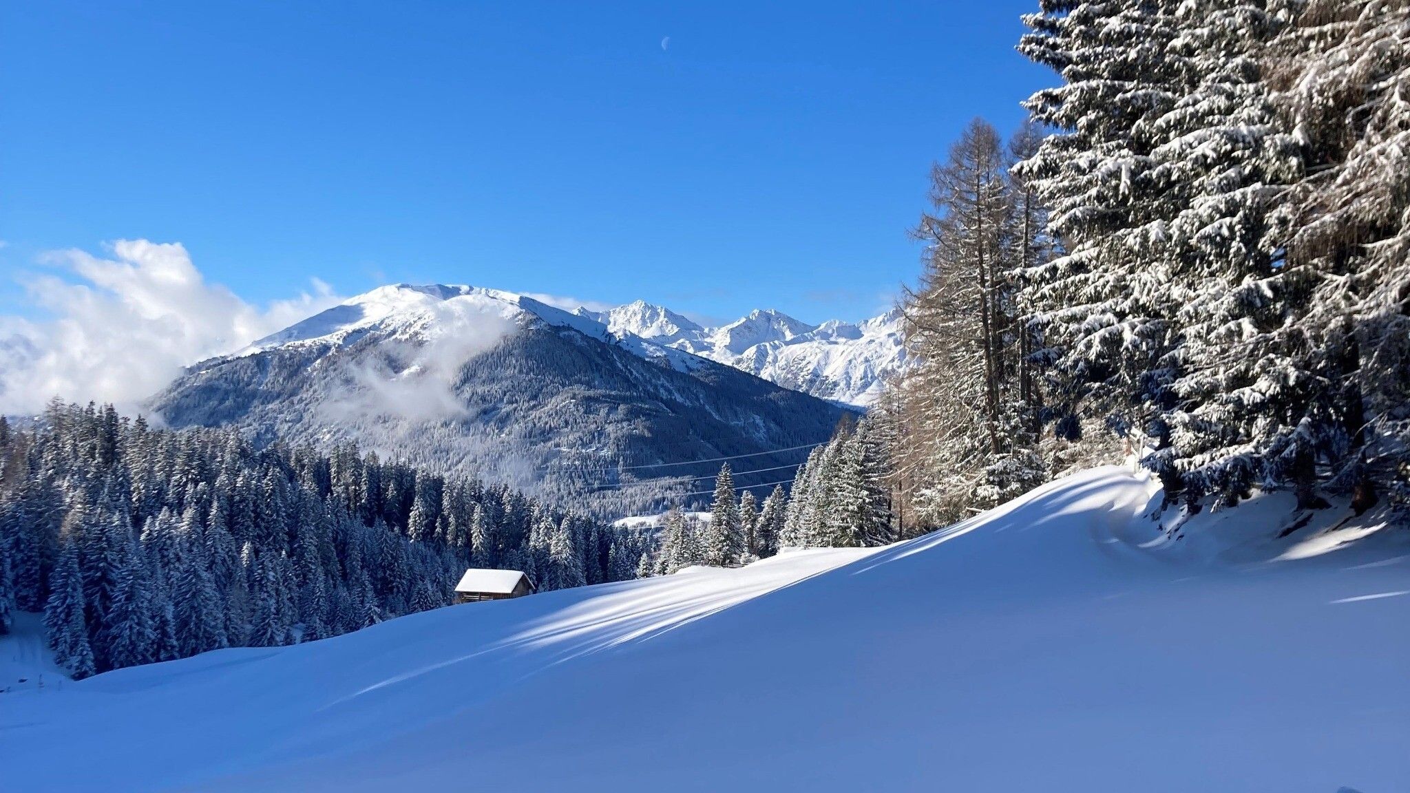
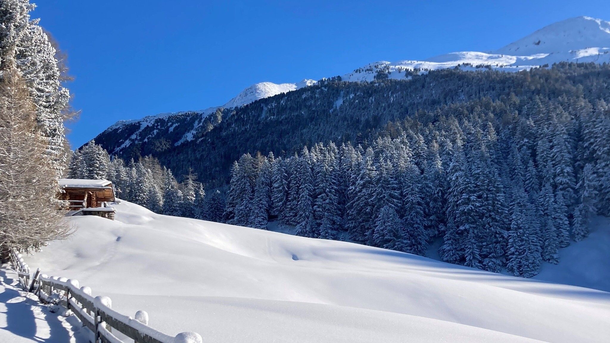
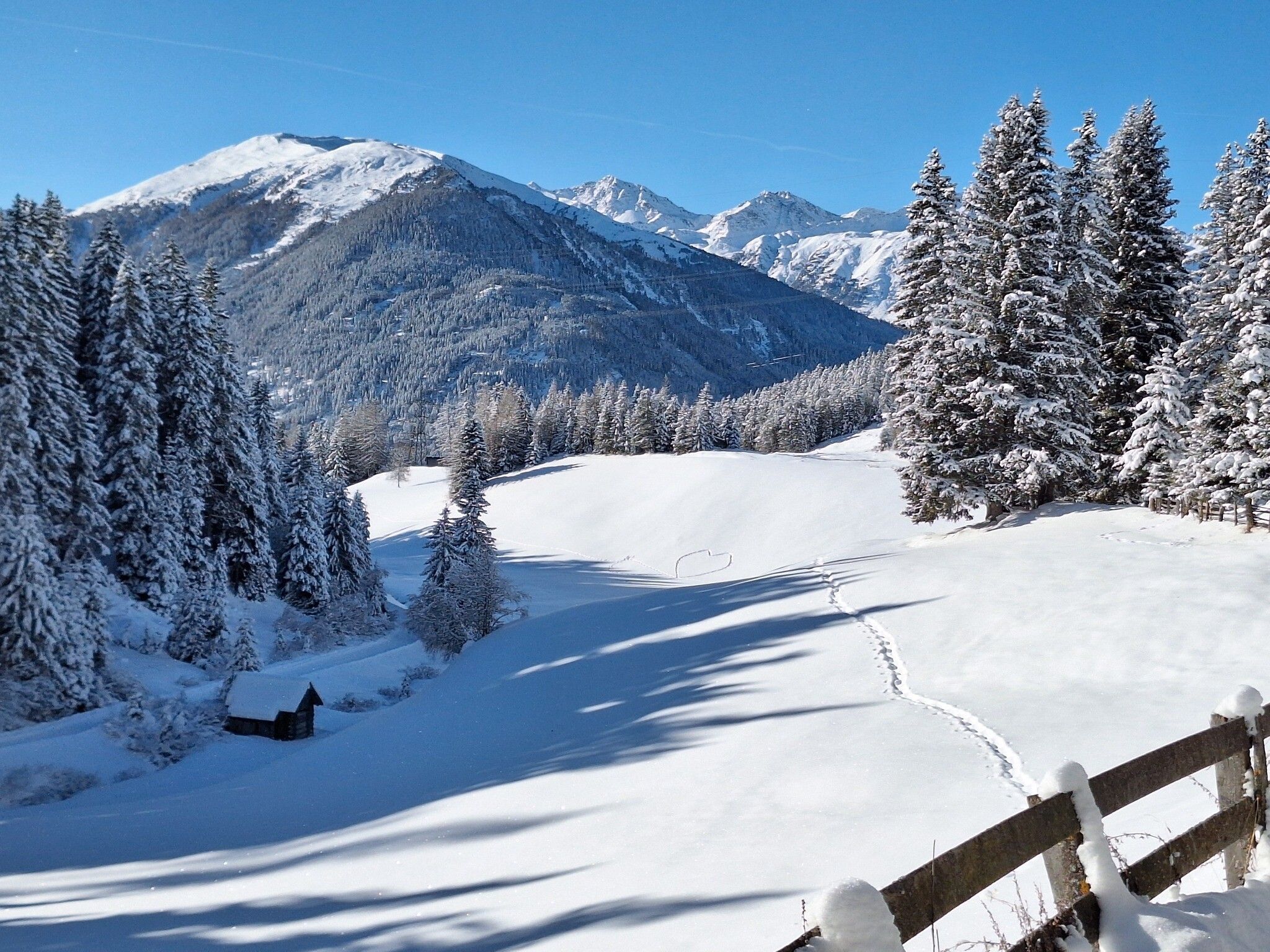
The circular trail runs from the nature park center to the right on the prepared winter hiking trail towards the south. This trail takes you past the frozen Harbweiher pond and ends back at the nature park center.

Getting here

  • Arrival by public transport

    Take the bus till the bus stop Fließ Naturparkhaus.
  • Parking

    Coming from Imst, follow the L16 (Pitztalstraße) to Wenns/Pitztaler Hof. There, turn right onto the L17 (Piller Landesstraße) towards Piller and follow this road to the Kaunergrat Nature Park Center.
    At the parking space Nature Park Kaunergrat

Weather

Today

light rain
13°C/6°C
75%2.7l5 km/h

Thu

mainly clear
13°C/4°C
0%0l5 km/h

Fri

clear sky
12°C/2°C
0%0l5 km/h
Go to weather forecast
Newsletter

The mountain is calling? So does our newsletter!

In our monthly newsletter we reveal the best holiday tips for Tyrol.