

Opening hours:Today closed
Place:Ellmau
:Alpine pasture / hut / mountain restaurant
Through the winter forest to the wildlife park at the Wochenbrunner Alm.
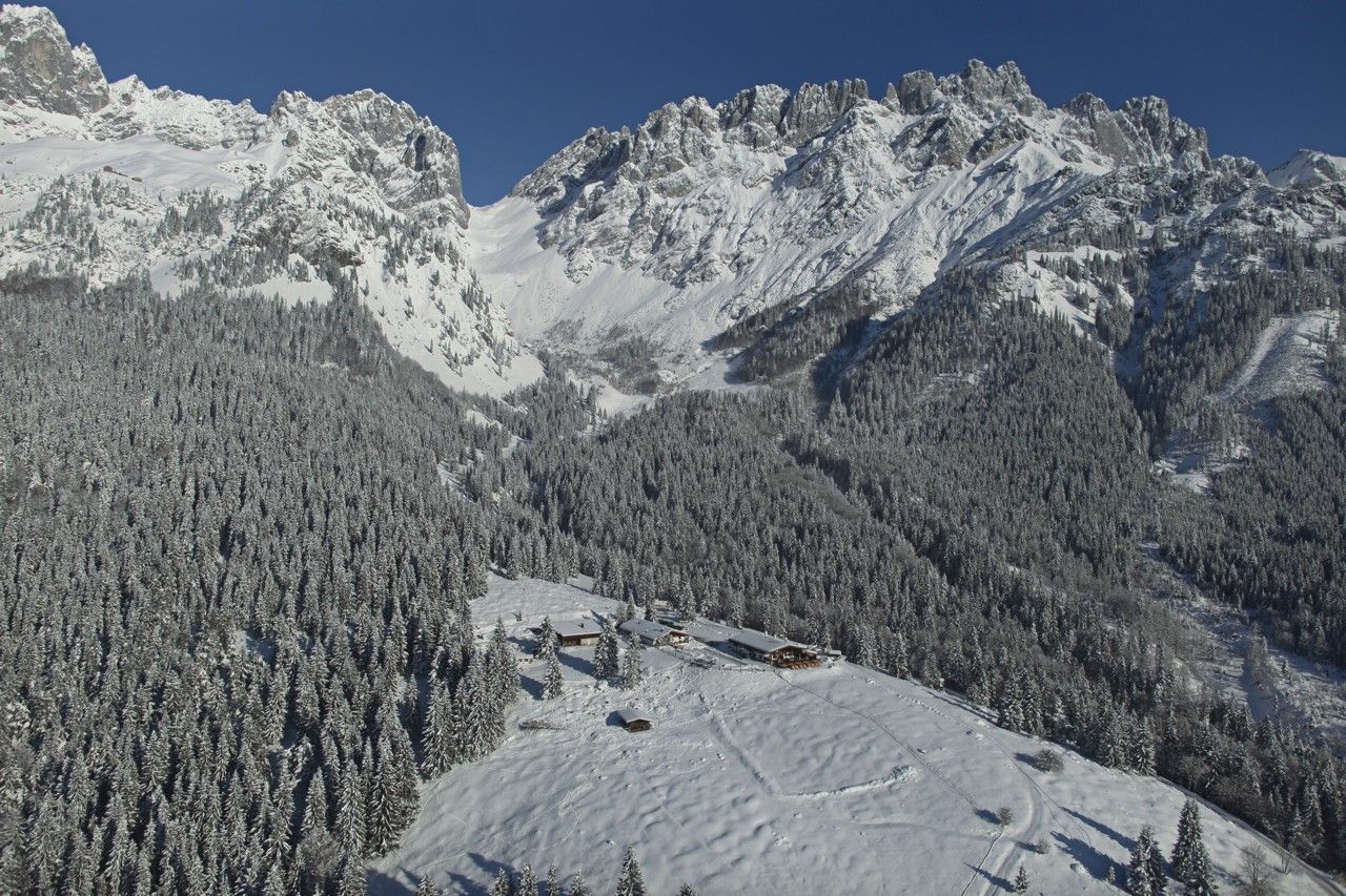
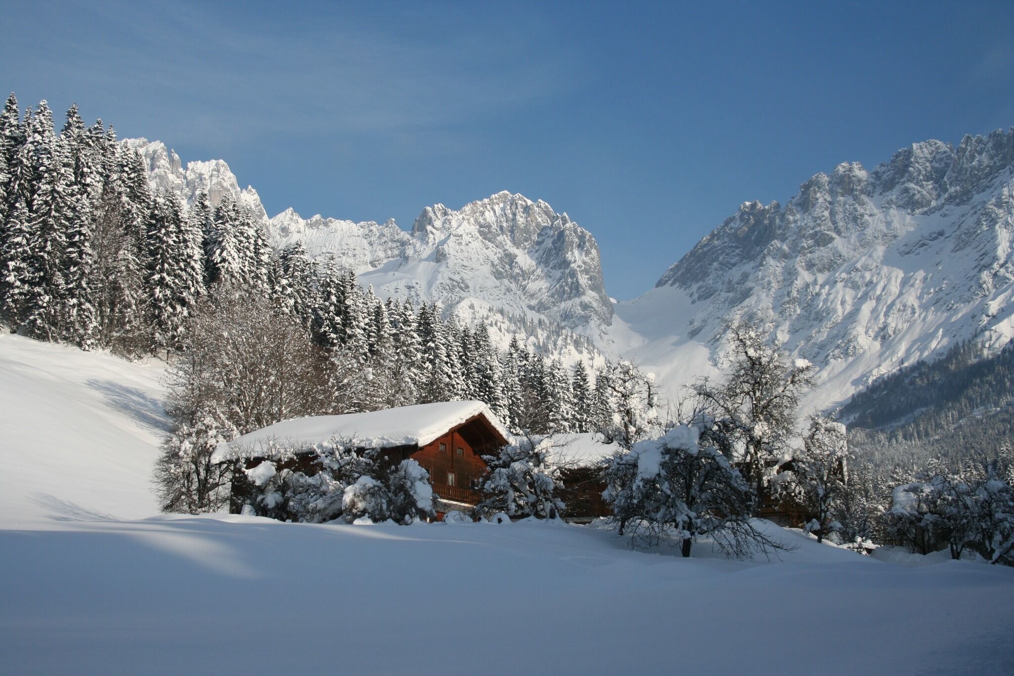
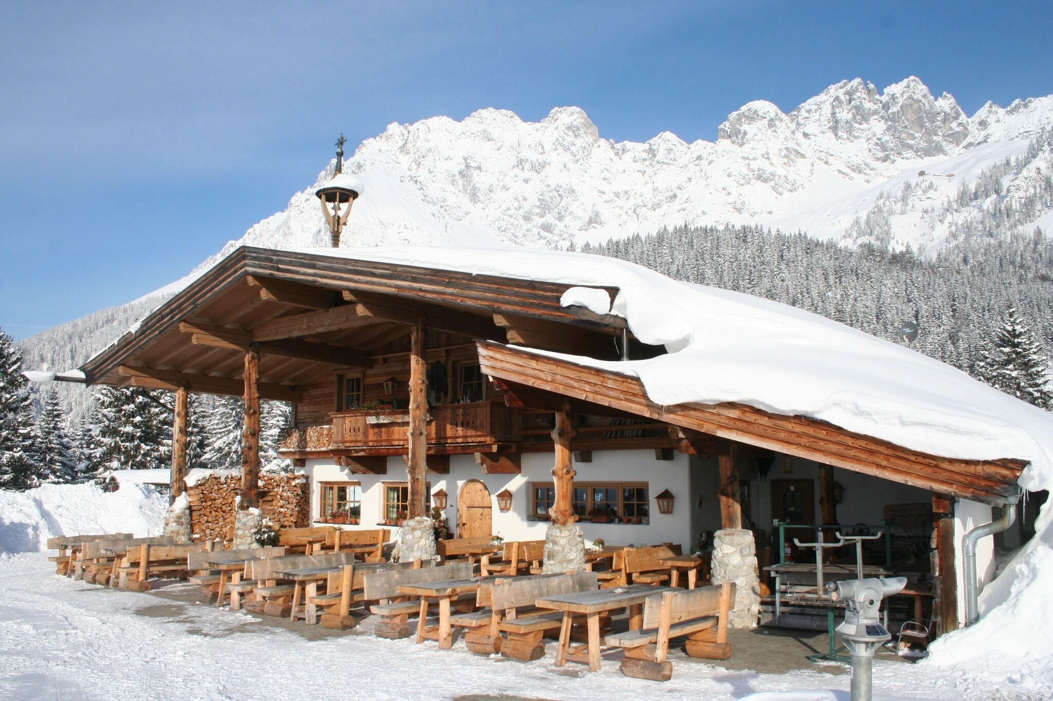
On the romantic winter trail at the foot of the Wilder Kaiser, you reach the unique viewpoint, the Wochenbrunner Alm. Take the pedestrian overpass near the Sporthotel (Ellmau Ost) and follow the Wochenbrunnweg. The path now runs across the snow-covered golf course along the Hausbach stream. Passing farmhouses and through the snowy winter forest, the trail leads up to the alpine hut. After approx. 1.5 hours, you will have comfortably reached your destination. The rustic Wochenbrunner Alm at 1,085 metres offers not only a wonderful panoramic view on the sun terrace but also a small wildlife park with stags, deer, and mountain goats. A hearty "Brettljause" snack or even a gourmet menu rewards the hiker. Well-fortified, you then make your way back down into the valley.
865+866 VVT-Regiobuslines: Ellmau Dorf/Bauhof
41+42+44+45 Skibus lines: Ellmau Dorfplatz (Steig A)
43 Skibus line: Ellmau Kirche
You can find further information and the timetables on this page:
Local Transport
| Wilder Kaiser
Heading
from Wörgl or Kufstein on the B178 road, take the first exit to Ellmau and
then take the first exit at the roundabout. Drive along the bypass, then turn
towards the centre of Ellmau when you reach the end (between MPreis and the
Sporthotel). Continue straight on until you see the Tourist Info on the
right-hand side (short-stay parking zone). The hiking starting point is
located opposite this on the left-hand side.
Heading from St. Johann on the B178 road, take the first exit to Ellmau and
drive straight on through the town until you see the Tourist Info on the
right-hand side (short-stay parking zone). The hiking starting point is
located opposite this on the left-hand side.
Public car parks in Ellmau centre or west (800 m) - pay & display


