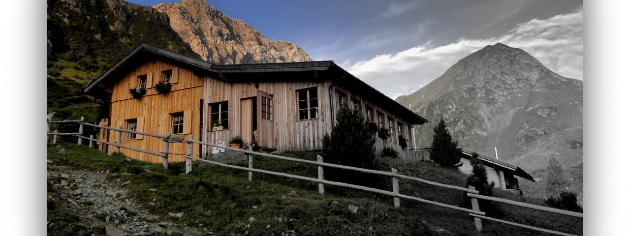
The Porzehütte (1,942 metres) is a mountain refuge on the Carnic Main Ridge and an important base for walks and hikes in the south of East Tirol.
Popular hut on the Porze mountain
Austrian Alpine Club, Austria Division
The Austrian Alpine Club chose a wonderful location for the Porzehütte, close to the idyllic Klapfsee lake, high on the Porze mountain. This refuge on the Carnic Main Ridge, perched on the southernmost peak in East Tirol, can be easily reached on foot, even for families with children. The via ferrata fixed-rope climbing route leading to the top of the Porze mountain requires a little more strength and stamino, though the reward is a crossing over the border into Italy on the Tilliacher Joch ridge. The majestic location, excellent food and close position to Italy and Austria make the Porzehütte an increasingly popular destination. It was originally built in 1976 and was extended just a few years later, in 1983. The hut is open from mid-June until early October.
How to get to the hut
From Obertilliach in 2.5 hours, from car park next to the Klapfsee lake in 1 hour
Walks and hikes in the area (walking time to summit)
Porzescharte (2,363 metres), 1.5 hours, intermediate
Porze (2,589 metres), 2.5 hours, difficult (via ferrata rated A/B - easy)
Tilliacher Joch (2,094 metres), 30 minutes, intermediate
Bärenbadegg (2,430 metres), 1.75 hours, intermediate
Further huts in the area, long-distance hiking trails
Filmoor-Standschützenhütte, 2.75 hours
Hochweißsteinhaus, 8 hours
Mitterkar-Biwak, 3.5 hours
Obstansersee-Hütte, 6 hours
Sillianer Hütte, 10 hours
The Porzehütte is located on the Carnic High Trail (Stage 3/4).
Popular hut on the Porze mountain Austrian Alpine Club, Austria Division The Austrian Alpine Club chose a wonderful location for the Porzehütte,…


