Via ferrata Spitzkofel via ferrata route

open
Amlach / Lienzer Dolomiten
Exposition: SE
B

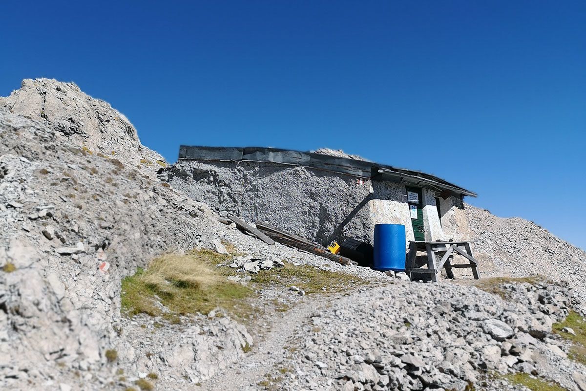
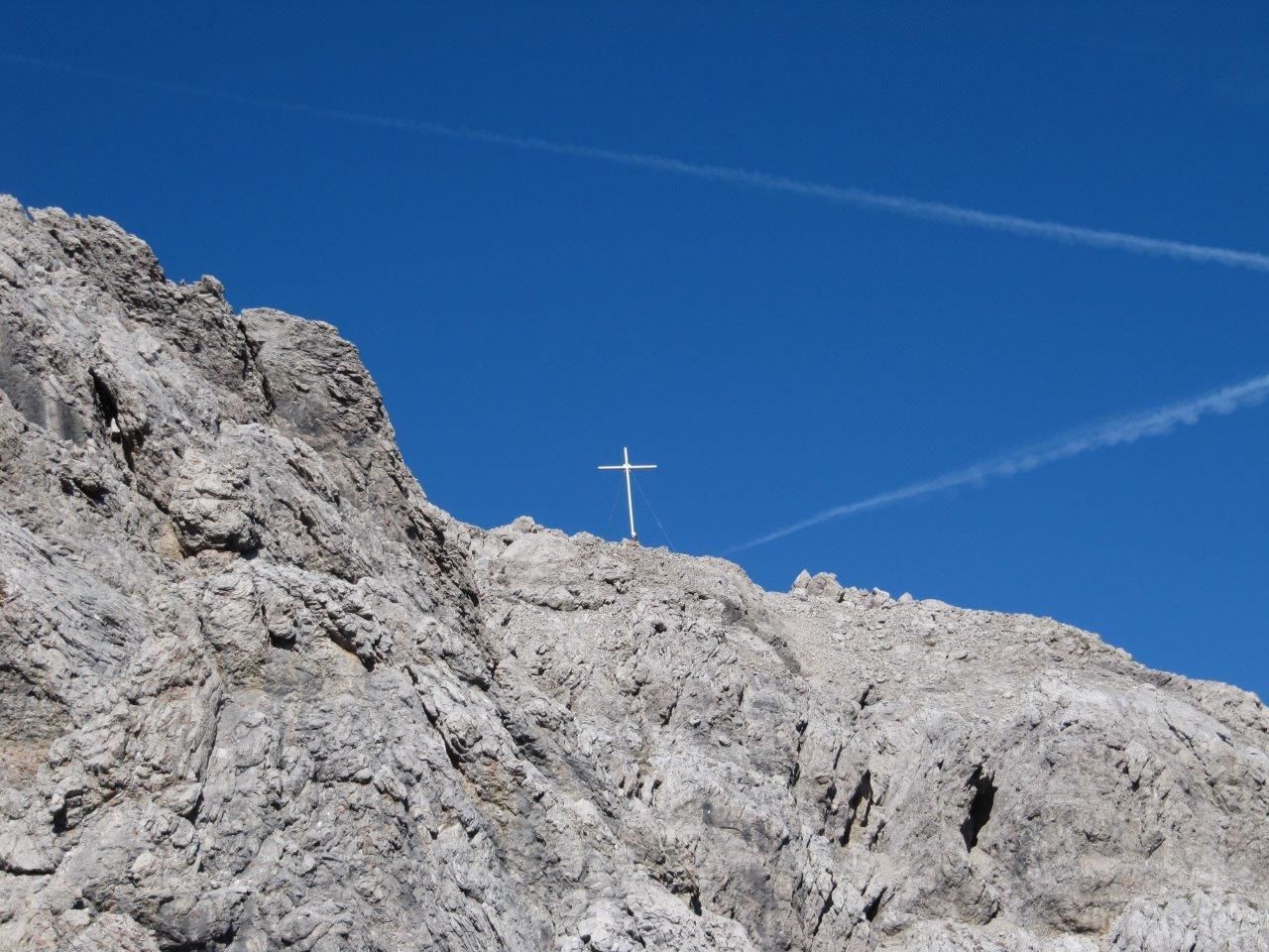
The Spitzkofel, at 2717m, and the Spitzkofel group, dominate Lienz and Drautal and in earlier times it was regarded as the key summit in the Lienz Dolomites. Its five-tor north ridge was in times past a key position for extreme climbing. To get to Lienz’s local mountain more easily, steel cables were set up in sections in the rocky terrain. The secure points begin in the south gorge area and proceed via the rocky sections to Linderhütte on the pre-summit, continuing through the Spitzkofelscharte to the main summit at 2717m. Linderhütte is the oldest bothy in the Lienz Dolomites.

Information

Ascent Time3:30 h
Walking time descent3:30 h
Time Climbing1:00 h
DifficultyB

Via Ferrata Altitude Difference

260 m
Sea level starting point2693 m
Sea level highest point2718 m

Approach

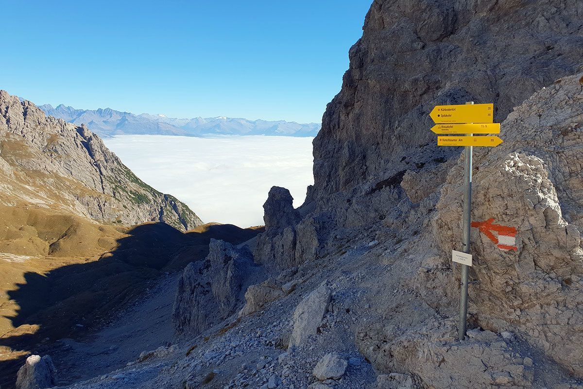
Starting point gorge bridge – to the Kerschbaumeralm bothy – continuing via Hallebachtörl (signposts) on the signposted path to the southern gorge of the Spitzkofel.

Descent

As the ascent.

Best time of year

  • January
  • February
  • March
  • April
  • May
  • June
  • July
  • August
  • September
  • October
  • November
  • December

Description

From Klammbrückl car park (natural landmark) up the well signposted path to Hallebach (ford). Just before the river, proceed right, along the well-used steep path. The route is challenging, heading through larch and mountain pine forest up to the Böseggtürme and the steep path which proceeds from Hallebachtörl to the Spitzkofel. Continue on the steep path in a northerly direction up to around 2500m. The via ferrata route begins at Linderhütte. Via the descent, secured with steel cable, about 50 m down into the Spitzkofelscharte and after this about 100 m - also steel cable secured - up to the summit at 2717m.

Difficult sections: B. The path is not secured with steel cables throughout (only at the steepest cliff sections), in the easier terrain sure-footedness is required in parts.
Equipment: Complete via ferrata equipment and helmet. Additional short safety rope is recommended for those who don't have much experience and children!

Upholder: AlpinPlattForm Lienz


Weather

Today

clear sky
13°C/0°C
0%0l5 km/h

Tue

mainly clear
14°C/0°C
0%0l5 km/h

Wed

partly Cloudy
14°C/3°C
15%0.9l5 km/h
Go to weather forecast

Getting here

  • Parking

    Von Lienz ausgehend fährt man nach Gries und ca. einem Kilometer verlässt man die Drautal Bundesstraße in Richtung Süden. Der Straße folgt man bis zum Parkplatz bei der Klammbrücke. Zu Fuß geht's dann weiter über das Kerschbaumeralm-Schutzhaus bis zum Hallebachtörl (Wegweiser). Dem markierten Steig folgt man schließlich bis zur Südschlucht des Spitzkofels, wo sich auch der Einstieg befindet.

    Abstieg: Wie Zustieg.


    Parkplatz Klammbrückl

  • Contact

    Spitzkofel Klettersteig
    ****

More via ferratas

  • Glödis via ferrata route

    Opening hours:open
    Difficulty:BExposition:SE
    Duration:1:00 hDuration:4:00 hElevation difference:230 m
Newsletter

The mountain is calling? So does our newsletter!

In our monthly newsletter we reveal the best holiday tips for Tyrol.