


Difficulty:easy
Length:5.5 kmDuration:1:11 hElevation uphill:69 m:Style: Skating, Classic
Connecting Cross-Country Ski Run V1
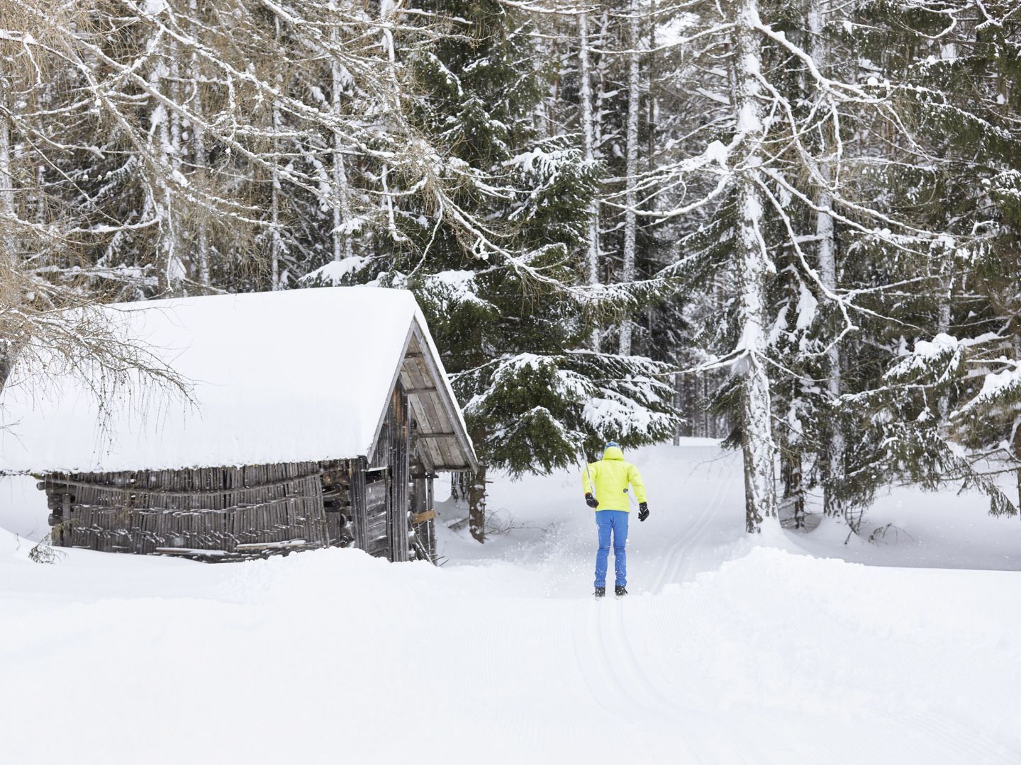
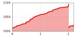
The two-kilometer-long trail seamlessly connects the Thal/Wald No. 5 trail in Obsteig with the Burkleite No. 6 trail in Holzleiten, allowing cross-country skiers to enjoy the entire route without needing to take off their skis. This track offers a smooth, uninterrupted skiing experience, letting you fully enjoy the surrounding beauty.
In Obsteig, there are several places to stop for a break. After an active outing, the traditional inns invite you to refresh and enjoy a hearty meal – the perfect spot to recharge and soak in the winter atmosphere.


