
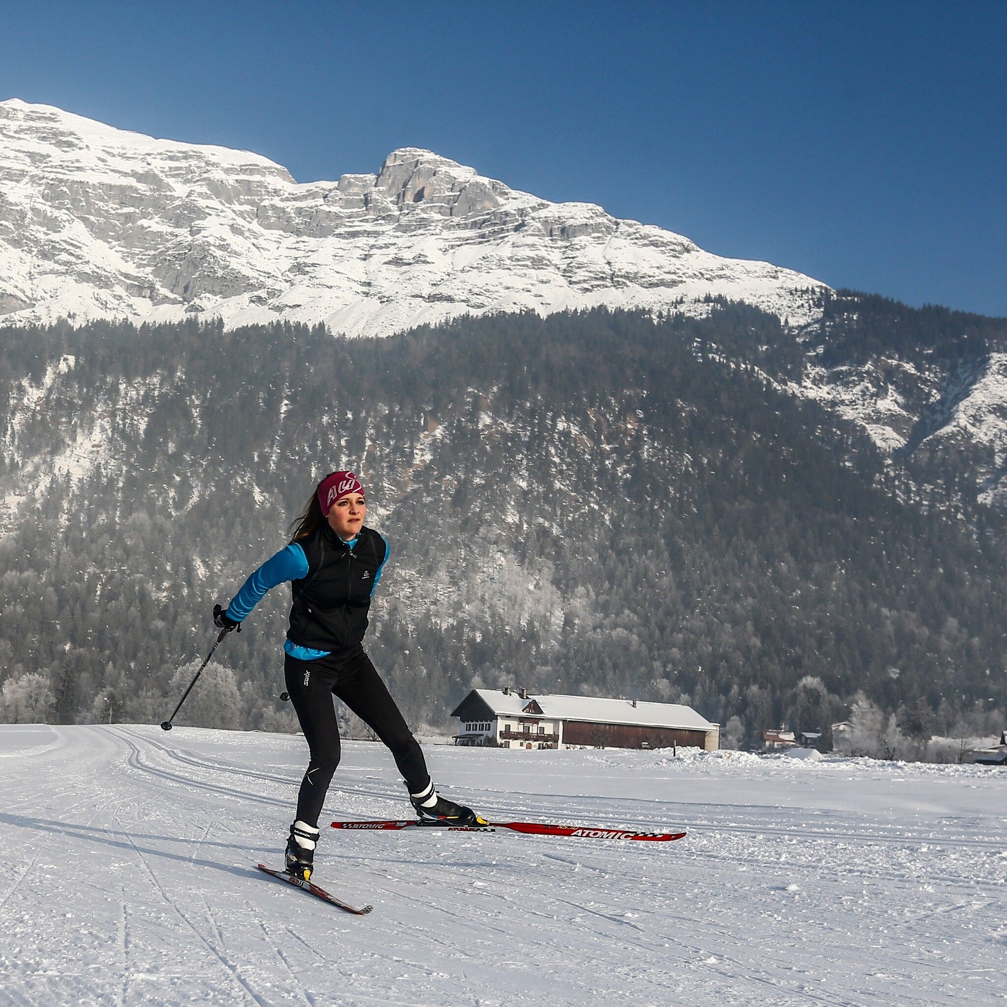
Cross-country skiing trail Cross-country trail Rinn - Golf trail 2

closed
Difficulty ratings: difficult
Route length: 5.8 km
Duration: 1:31 h

Excellently groomed cross-country ski trails await cross-country skiers and ski hikers.
Tour information

  • Requirement: difficult
  • Length: 5.8 km
  • Duration: 1:31 h
  • Elevation uphill:270 hm
Highest point1,017 m

Starting point

Golf course Rinn

Finishing point

Golf course Rinn

Styles

Classic
  • Fitness level 4 / 6
  • Technique 5 / 6

Best time of year

  • January
  • February
  • March
  • April
  • May
  • June
  • July
  • August
  • September
  • October
  • November
  • December
Source: Hall Wattens

Weather

Today

light rain showers
35°C/18°C
65%6.5l5 km/h

Sat

light rain showers
28°C/17°C
75%13.7l5 km/h

Sun

light rain showers
30°C/16°C
60%5.5l5 km/h
Go to weather forecast

Description

This 6 km long trail is part of the 27 km long cross-country trail network Tulfes-Rinn and is offered as an alternative program to skiing or snowboarding at Glungezer.

Overall, the Tulfes-Rinn region has five trails with different levels of difficulty.


Nearby cross-country skiing trails

Newsletter

The mountain is calling? So does our newsletter!

In our monthly newsletter we reveal the best holiday tips for Tyrol.
