
Opening hours:Open today
Place:St. Johann in Tirol
:Restaurant
Easy to moderately difficult terrain for experienced people on the sunny side.
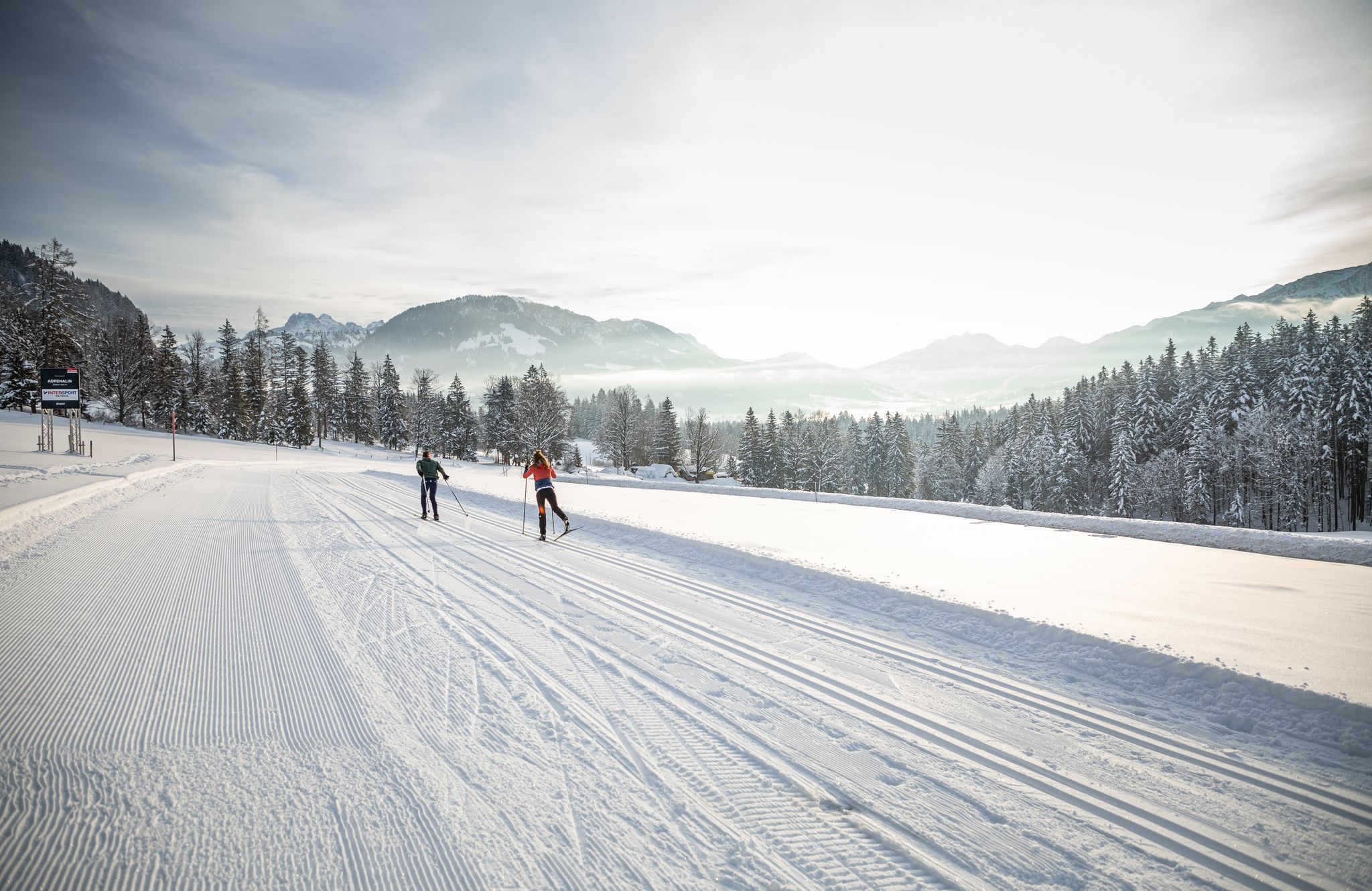
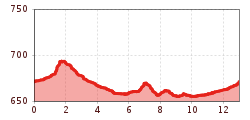

From the entry point at the sports airfield walk parallel to the Fieberbrunner Ache over flat terrain to the height of Grieswirt, then return in the direction of Reitham, there turn right past the sports airfield to Oberhofen. Along the Berglandwegsiedlung further to Moosen and via Mitterndorf back to Oberhofen. Then again along the Fieberbrunner Ache back to the starting point Sportflugplatz. The last 6km are slightly crested meadow terrain. Otherwise easy ascents and descents in easy to moderately difficult terrain.
The trail is prepared for skaters and classic skiers.


.JPG")
.jpg")


.JPG")

.jpg")


.jpg")


.jpg")


.jpg")
