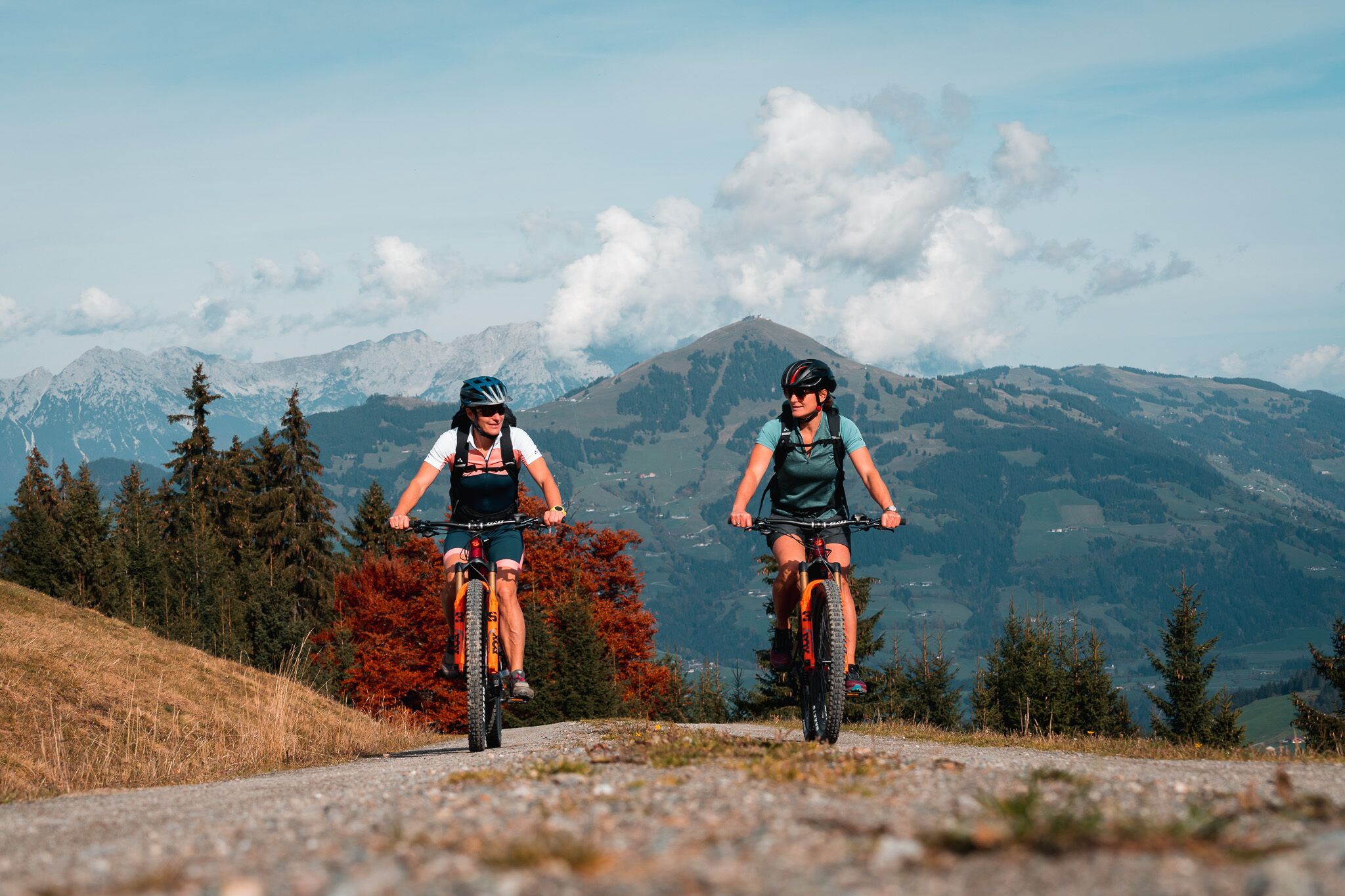
Mountainbike-Tour Glanterer-Kogel-Runde (MTB Route 294)
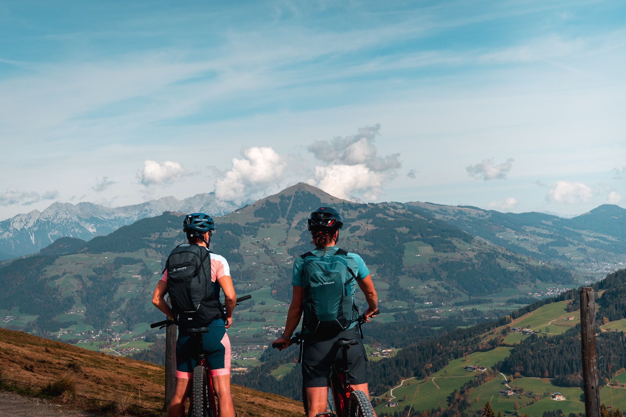
Hopfgarten im Brixental / Kitzbühel Alps
Difficulty ratings: difficult
Route length: 32.8 km
Duration: 4:00 h

Glanterer-Kogel-Runde (MTB Route 294)
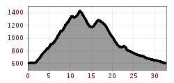
Tour information

  • Requirement: difficult
  • Length: 32.8 km
  • Duration: 4:00 h
  • Elevation uphill:960 hm
  • Elevation downhill:960 hm
Highest point1,430 m

Starting point

Wasserfeldparkplatz Hopfgarten

Finishing point

Wasserfeldparkplatz Hopfgarten
  • Fitness level 4 / 6
  • Technique 3 / 6

Features

  • Circular route

Best time of year

  • January
  • February
  • March
  • April
  • May
  • June
  • July
  • August
  • September
  • October
  • November
  • December

Trail condition

Asphalt, gravel, forest path

Equipment

Cycling helmet suitable cycling clothing rainwear sun protection cash mobile phone cycling map (available at the local TVBs) small snack water bottle with enough water repair kit Emergency pharmacy
Source: Kitzbüheler Alpen Management GmbH

Description

The starting point for this tour is the Wasserfeld car park P3 in Hopfgarten. 
From there, follow the signs on Kelchsauer Straße and cross an old wooden bridge on the left. After the bridge, turn right into the district of Elsbethen. Follow signpost 228 in the direction of Ölbank. At the crossroads, turn right onto the Glantersberg (no. 228). At the Toifhof farm, turn left and follow the path until you reach signpost 294 in the direction of Glanterer Kogel. Continue along this path. Past a few mountain pastures, the trail (no. 206) leads down into the Windautal valley. 
Return to the starting point via trail no. 89 in the direction of Jägerhäusl and then follow signpost no. 6, past the Lendwirt, to Hopfgarten.

Nearby huts and mountain restaurants

Getting here

  • Arrival by public transport

    bus: Hopfgarten Berglift Bahnhof
    train: Hopfgarten Berglift Bahnhof

    Guest card = travel ticket - bus & train included! 
    Online timetables:

    www.vvt.at
    www.oebb.at

  • Parking

    Car park P3 Wasserfeld (free of charge) 
    Lift parking - free of charge when using the gondola

More tours in the surrounding area

  • Wilder Kaiser cycle route no. 14

    Difficulty:medium
    Length:38.3 kmElevation uphill:520 m
  • OD Trails

    Opening hours:open
    Difficulty:medium
  • Salvenaradrunde

    Difficulty:medium
    Length:62.7 kmDuration:3:30 hElevation uphill:648 m
  • Angereralm - Harschbichl

    Opening hours:closed
    Difficulty:medium
    Length:18.2 kmDuration:2:00 hElevation uphill:942 m
  • Brixental cycling tour Nr. 21

    Difficulty:easy
    Length:46.7 kmDuration:3:30 hElevation uphill:450 m
  • Kalkstein Loop

    Difficulty:medium
    Length:41.7 kmDuration:3:30 hElevation uphill:341 m
  • Fleckalm Trail

    Opening hours:open
    Difficulty:difficult
    Length:7.1 kmDuration:0:45 h
  • 1. Etappe KAT Bike Sport+

    Difficulty:medium
    Length:25.0 kmDuration:3:30 hElevation uphill:1,108 m
  • KAT BIKE SPORT+

    Difficulty:difficult
    Length:146.0 kmElevation uphill:5,686 m
  • 2031 | Sonnenrast Trail

    Opening hours:open
    Difficulty:easy
    Length:1.7 kmElevation uphill:5 m
Newsletter

The mountain is calling? So does our newsletter!

In our monthly newsletter we reveal the best holiday tips for Tyrol.