Mountainbike-Tour Hopfgarten - GH Rigi (MTB Route 268)

Hopfgarten im Brixental / Kitzbühel Alps
Difficulty ratings: difficult
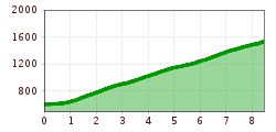
Route length: 8.4 km
Duration: 2:20 h

Hopfgarten - GH Rigi (MTB Route 268)

Tour information

  • Requirement: difficult
  • Length: 8.4 km
  • Duration: 2:20 h
  • Elevation uphill:930 hm
  • Elevation downhill:0 hm

Starting point

Wasserfeld

Finishing point

Gasthaus Rigi
  • Fitness level 4 / 6
  • Technique 3 / 6

Best time of year

  • January
  • February
  • March
  • April
  • May
  • June
  • July
  • August
  • September
  • October
  • November
  • December
Source: Kitzbüheler Alpen Management GmbH

Description

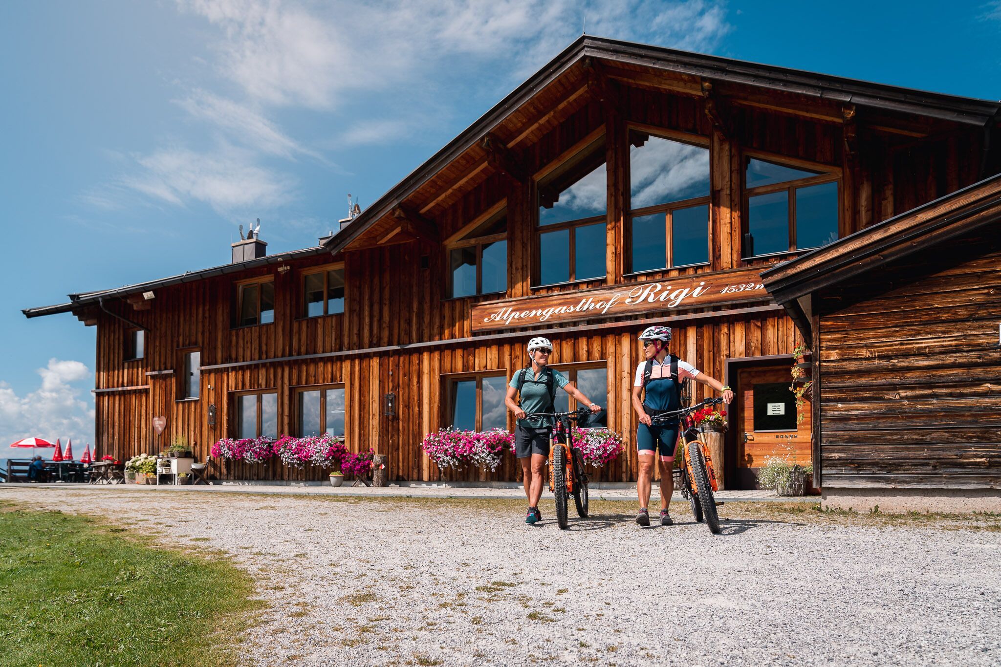
The starting point for this route is the Wasserfeld car park P3 in Hopfgarten. From there, follow the signs (MTB Route 268). The trail leads through the market centre to the Außersalvenberg in Hopfgarten. A few hairpin bends take you uphill, past the Schornhof farm and through the forest to the tour destination, the Gasthof Rigi. You return to the starting point via the same route.

More tours in the surrounding area

  • OD Trails

    Opening hours:open
    Difficulty:medium
  • Wilder Kaiser cycle route no. 14

    Difficulty:medium
    Length:38.3 kmElevation uphill:520 m
  • 2031 | Sonnenrast Trail

    Opening hours:open
    Difficulty:easy
    Length:1.7 kmElevation uphill:5 m
  • Fleckalm Trail

    Opening hours:open
    Difficulty:difficult
    Length:7.1 kmDuration:0:45 h
  • Salvenaradrunde

    Difficulty:medium
    Length:62.7 kmDuration:3:30 hElevation uphill:648 m
  • Angereralm - Harschbichl

    Opening hours:closed
    Difficulty:medium
    Length:18.2 kmDuration:2:00 hElevation uphill:942 m
  • Brixental cycling tour Nr. 21

    Difficulty:easy
    Length:46.7 kmDuration:3:30 hElevation uphill:450 m
  • Kalkstein Loop

    Difficulty:medium
    Length:41.7 kmDuration:3:30 hElevation uphill:341 m
  • 1. Etappe KAT Bike Sport+

    Difficulty:medium
    Length:25.0 kmDuration:3:30 hElevation uphill:1,108 m
  • KAT BIKE SPORT+

    Difficulty:difficult
    Length:146.0 kmElevation uphill:5,686 m
Newsletter

The mountain is calling? So does our newsletter!

In our monthly newsletter we reveal the best holiday tips for Tyrol.