singletrack Trail-network, Bikepark Zugspitze, Ehrwald-Wetterstein

closed
Ehrwald / Wetterstein-Gebirge and Mieminger Kette
Route length: 5.7 km

Bikepark-Zugspitze. The whole trail network at the Wetterstein in Ehrwald

Tour information

  • Length: 5.7 km
  • Elevation uphill:0 hm
  • Elevation downhill:0 hm
Highest point1,500 m

Best time of year

  • January
  • February
  • March
  • April
  • May
  • June
  • July
  • August
  • September
  • October
  • November
  • December

Equipment

A suitable bicycle helmet is essential. Knee pads and sturdy footwear are strongly recommended. We ask all visitors to only use our bike trails with appropriate protective equipment. Your safety is important to us! Thank you!
Source: Tiroler Zugspitz Arena

Description

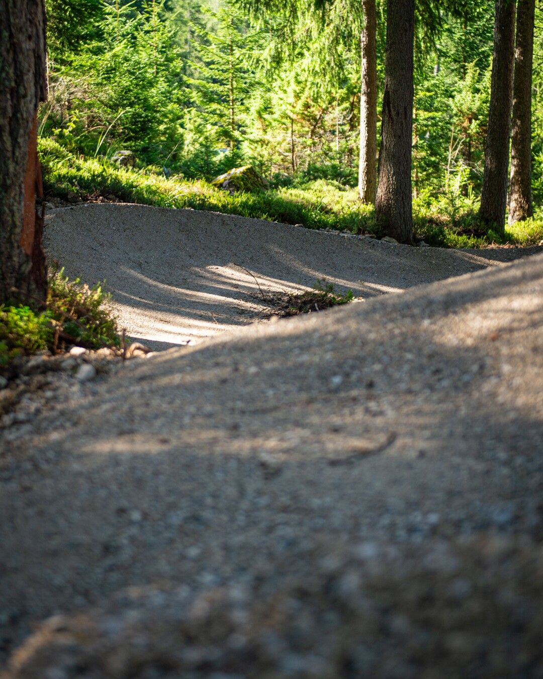
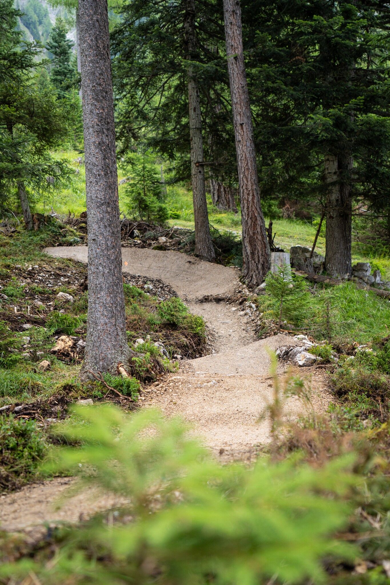
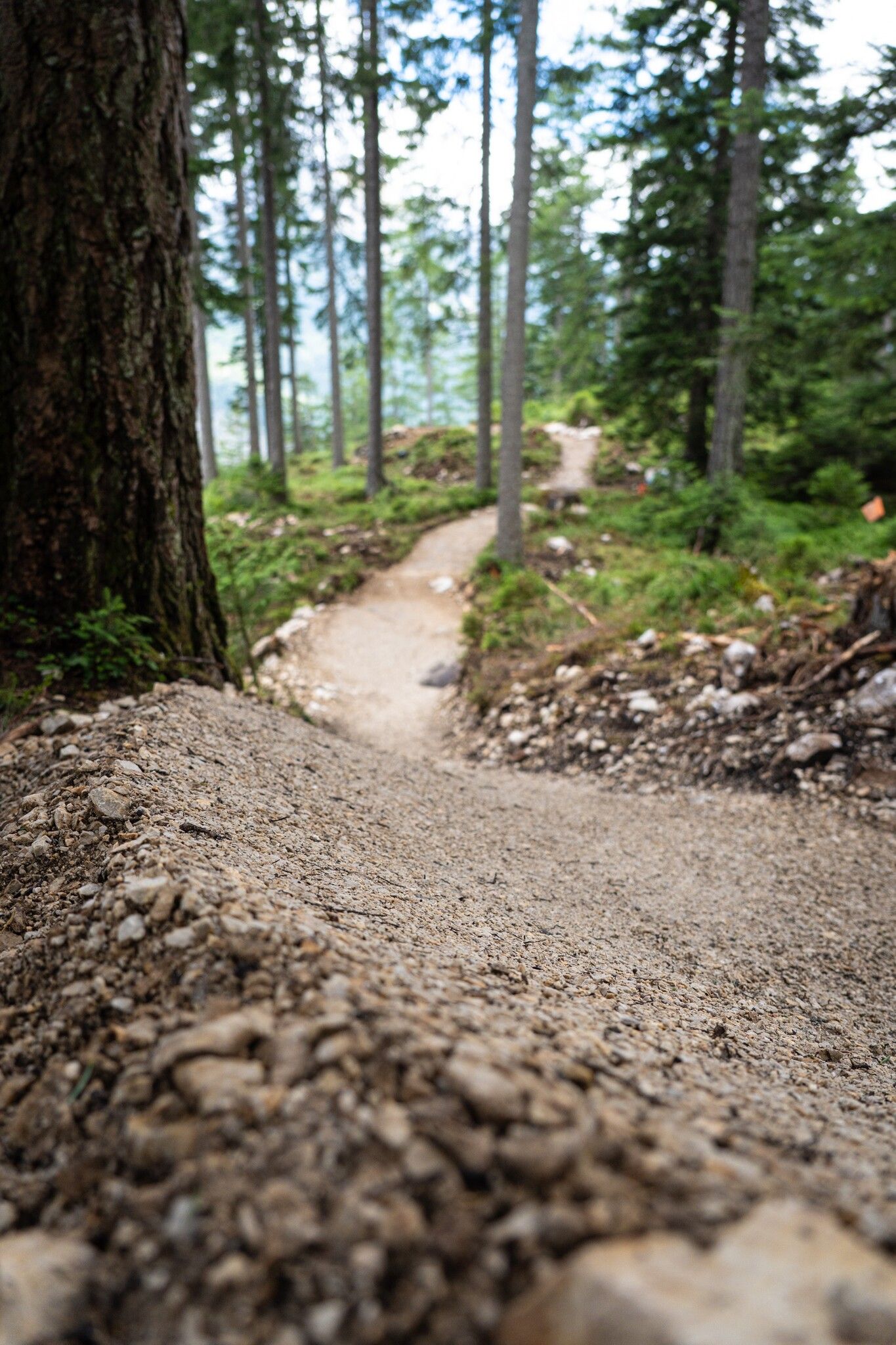
Here you can see all the trails on the Wetterstein at a glance. All trails can be reached with the Ehrwalder Wettersteinbahn lift ticket.

Trails:


  • Blue Bird - Flowline/Flowtrail - blue/easy
  • Fifty/Fifty - Line/Trail - red/medium
  • Bare Knuckle - Downhill/Trail - black/difficult


Getting here

  • Parking

    Right next to the Ehrwald Wettersteinbahn valley station

More tours in the surrounding area

  • Lichte Trail 882

    Opening hours: closed
    Difficulty: difficult
    Length: 3.4 km Duration: 0:15 h Elevation uphill: 5 m
  • Blindsee Trail

    Opening hours: closed
    Difficulty: difficult
    Length: 8.2 km Duration: 1:00 h Elevation uphill: 109 m
  • Ehrwalder Alm Seebensee

    Difficulty: medium
    Length: 9.0 km Duration: 2:30 h Elevation uphill: 630 m
Newsletter

The mountain is calling? So does our newsletter!

In our monthly newsletter we reveal the best holiday tips for Tyrol.