
Opening hours:Open today
Place:Heiterwang am See
:Alpine pasture / hut / mountain restaurant
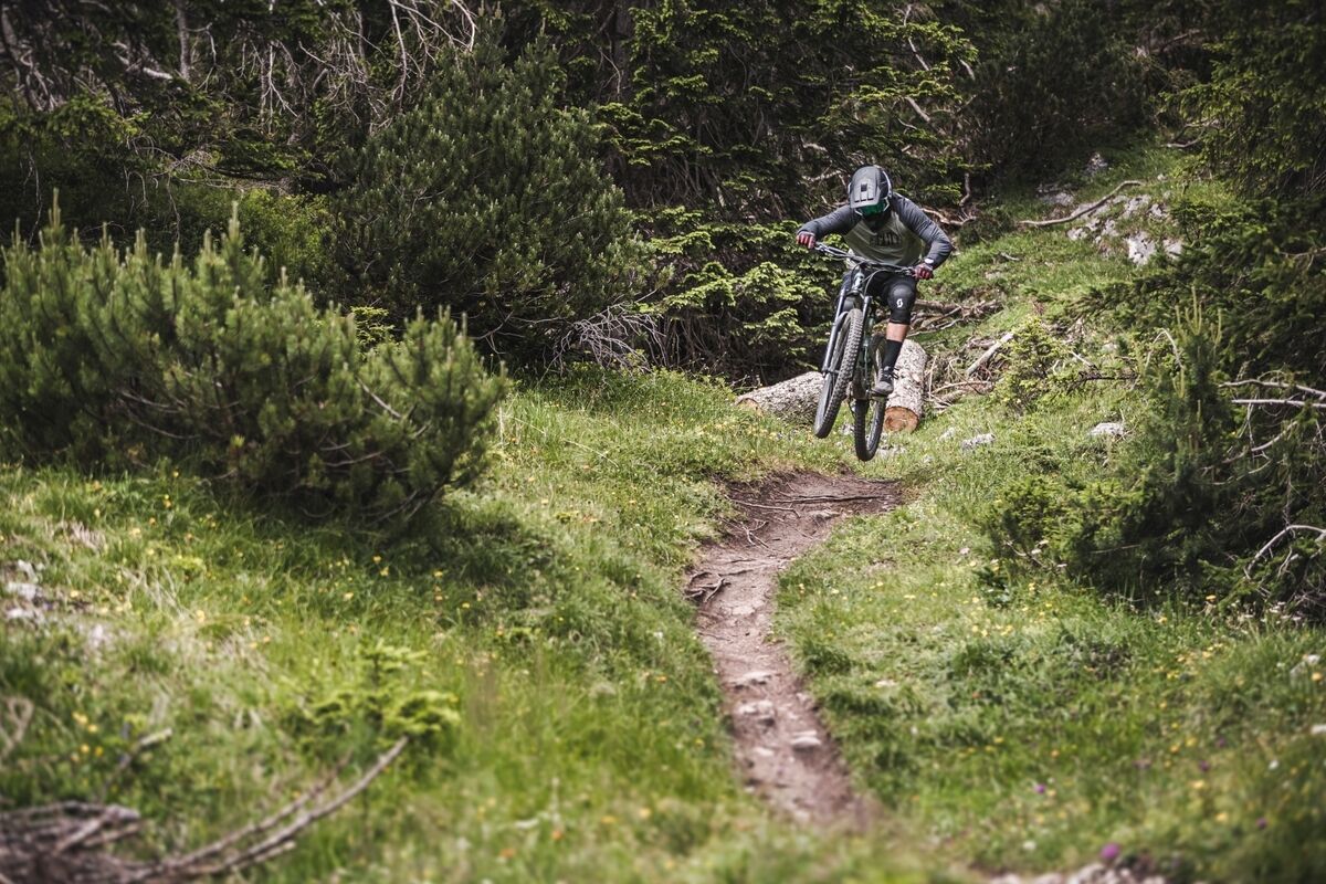
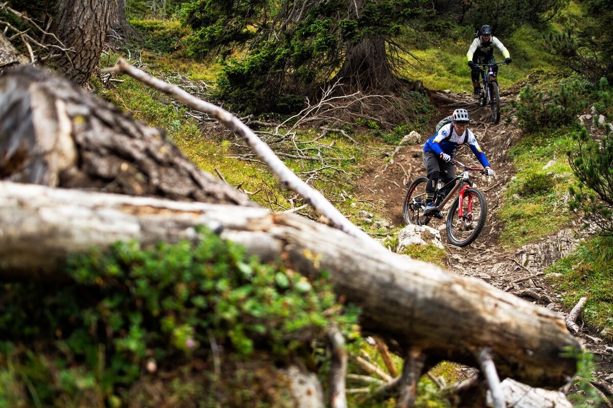
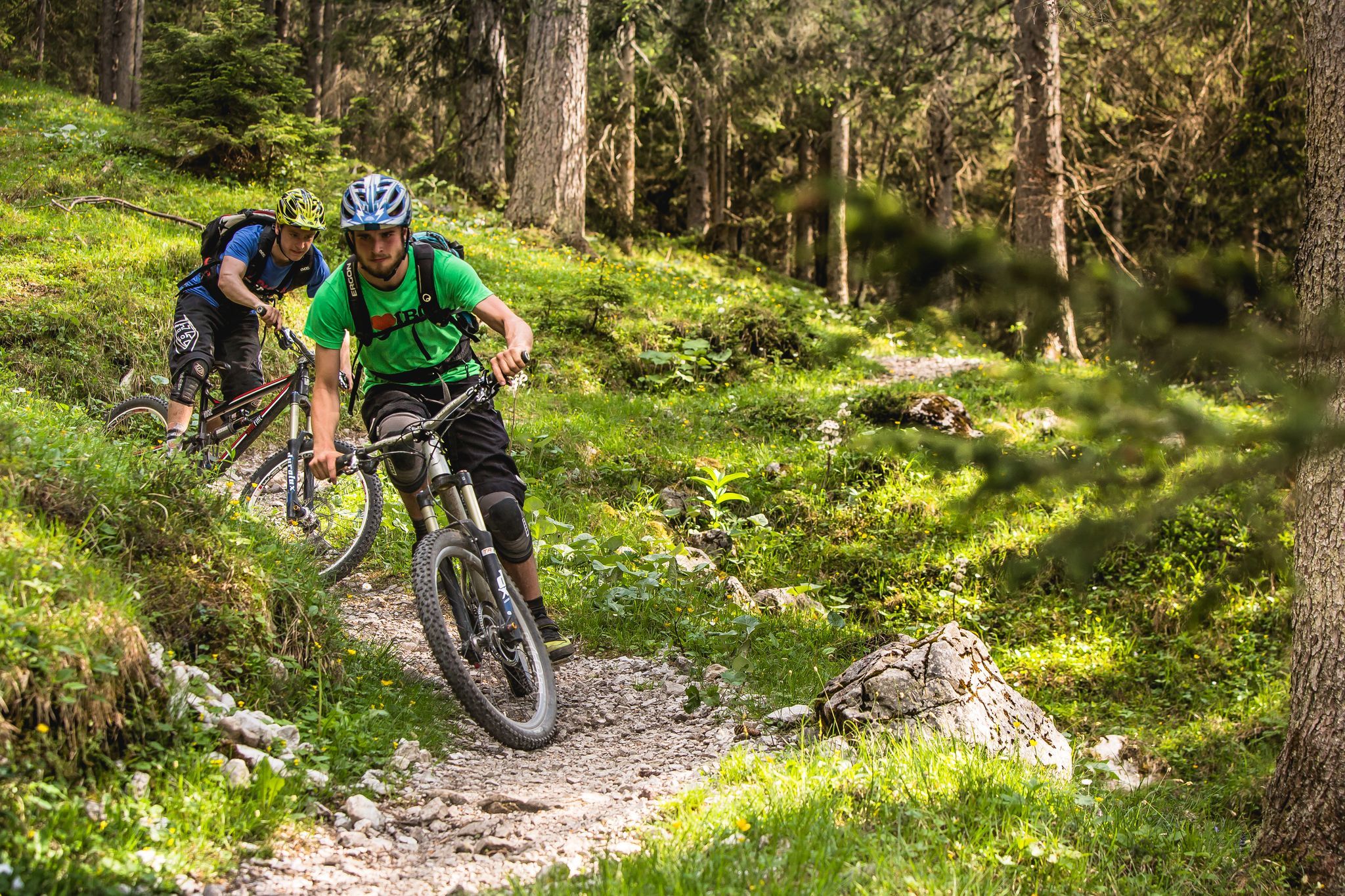
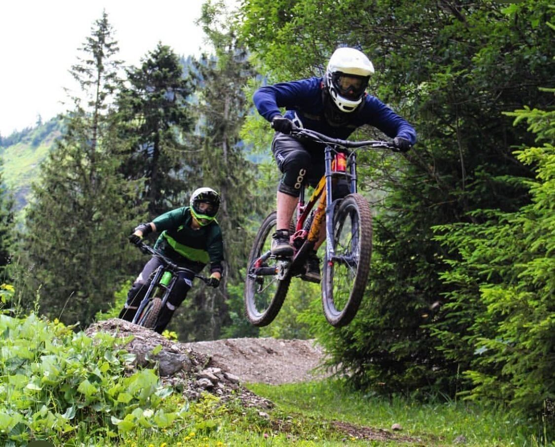
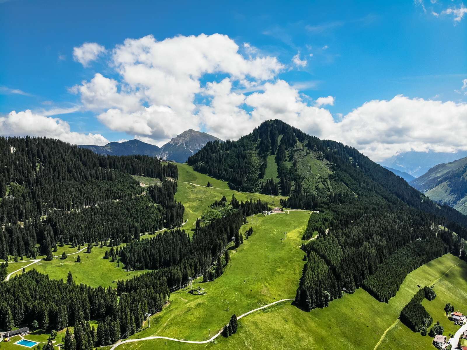
Stop off or ride off? Bikers on the Lichte Trail ask themselves this question sooner or later. The Tyrolean bacon dumplings and the view of the Zugspitze from the Heiterwanger Alm are simply too tempting. But the challenging single trail also has it all: roots, waves and loose forest floor - plenty of flow for freeriders!
Beautiful and sometimes steep forest passages, roots, waves and soft forest floor quickly create a freeride feeling on the Lichte Trail. However, if you want to tackle the challenging trail near Berwang, you need to be confident in the saddle. Precise riding technique is required, especially in wet conditions. After the second or third lap at the latest, a break and refreshments are due at the Heiterwanger Alm. Legendary: Tyrolean bacon dumplings with a view of the Zugspitze.


Variant 1: Ascent via the MTB route 830 from Bichlbach or the 879 from Berwang
Variant 2: Ascent with the Almkopfbahn from Bichlbach or the Sonnalmbahn from Berwang
Take the trail along the ski slope and at the first crossing of the route follow the left forest path for about 300 metres. Now begins the real trail that leads through the mixed forest. Different line choices, roots and soft forest soil, let you feel freeride. After the wooded area, follow the ski slope and turn right again. A short singletrail typical section then takes you to the final flowy part of the trail and ends at the valley station of the Almkopfbahn.
IMPORTANT NOTES:
Observe the rules of conduct
Alpine emergency call: 140
At the valley stations of the cable cars you will find numerous parking possibilities


.jpg")
.jpg")
")


.jpg")


Andi Frank (247).jpg")

