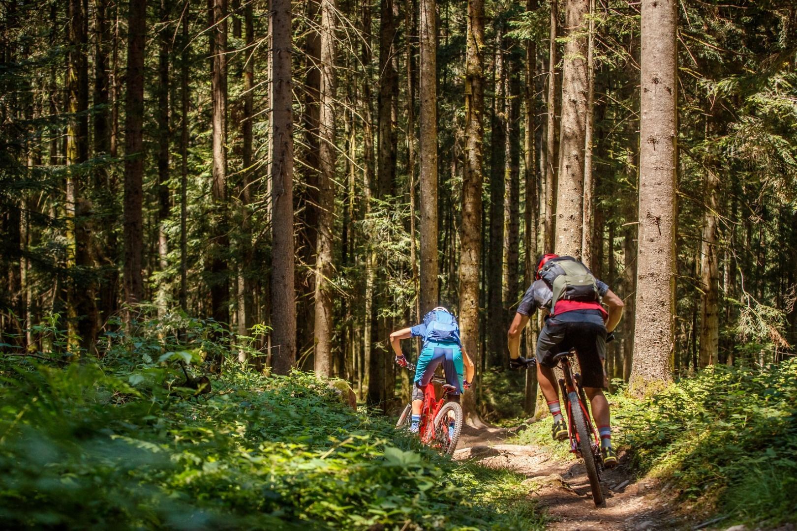
Mountainbike-Tour Trailtour Rauher Kopf - Sun Trail

Kirchberg in Tirol / Kitzbühel Alps
Difficulty ratings: medium
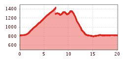
Route length: 22.0 km
Duration: 3:00 h

On the sunny side of Kirchberg!

Tour information

  • Requirement: medium
  • Length: 22.0 km
  • Duration: 3:00 h
  • Elevation uphill:800 hm
  • Elevation downhill:800 hm
Highest point1,440 m

Starting point

Infobüro Kirchberg

Finishing point

Infobüro Kirchberg
  • Fitness level 3 / 6
  • Technique 3 / 6

Features

  • Circular route

Best time of year

  • January
  • February
  • March
  • April
  • May
  • June
  • July
  • August
  • September
  • October
  • November
  • December

Trail condition

asphalt, gravel road

Equipment

Mountainbike, helmet, weather protection, food, drink, first aid kit
Source: Kitzbüheler Alpen Management GmbH

Description

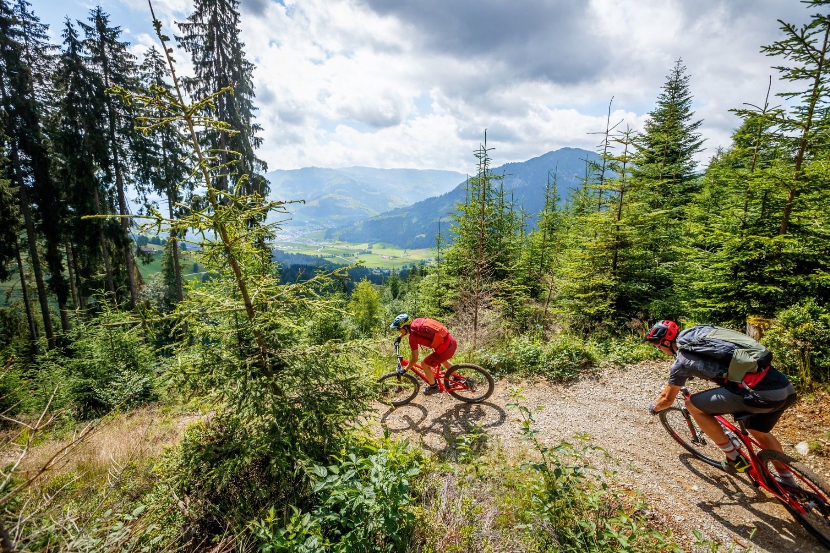
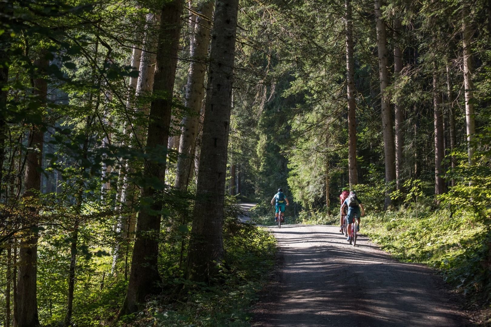
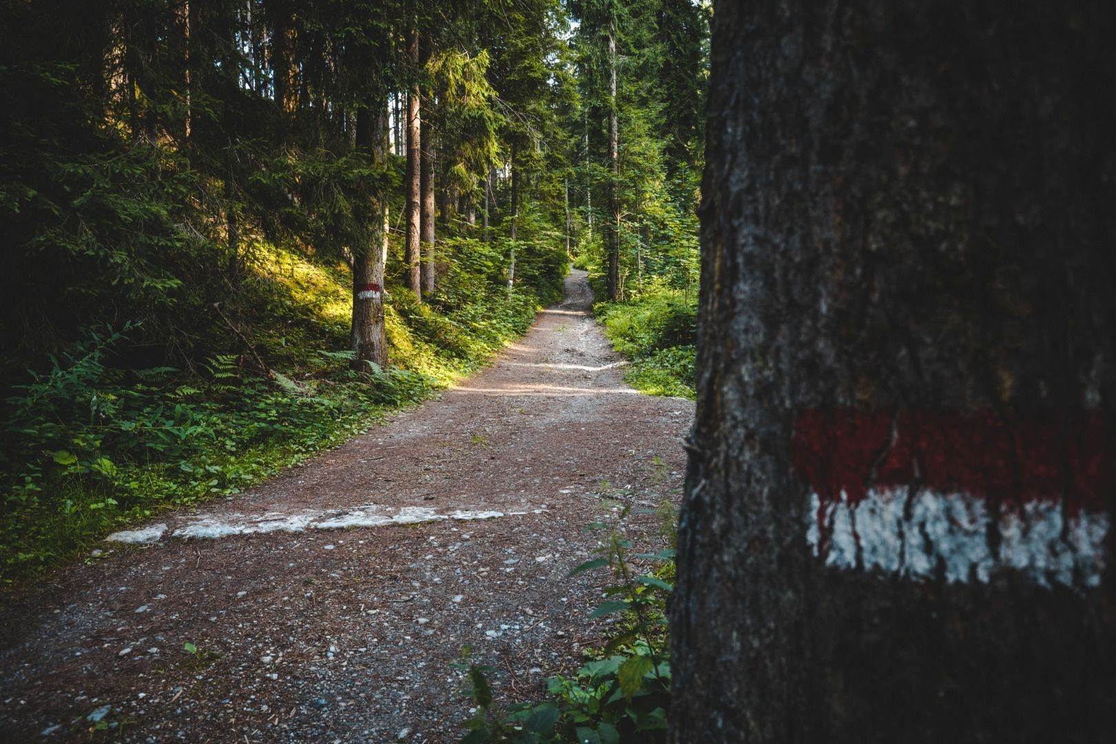
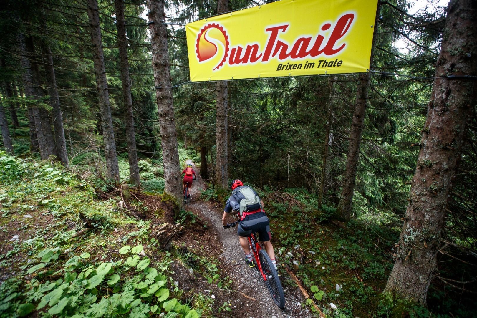
This tour is a very nice extension of the Rauhen Kopf circuit and also includes a descent via the Sun Trail to Brixen. Just below the ‘Kaiserblick’ viewpoint, switch to route 288 and head towards Brixen im Thale. Pass the Obingalm and take the new connecting path up a few gravel bends to the Gsengweg, continue left to the start of the Sun Trail (S0-S1), which leads down into the valley over a distance of 2.5 km. Take the road to the railway station in Brixen, go through the underpass and take the Brixental cycle path back to the starting point. If you continue on cycle path 299 to the Nieding mountain inn, you can easily bypass the Sun Trail. From Nieding, take the asphalted Sonnbergstraße road down into the valley to Brixen.

Nearby huts and mountain restaurants

Getting here

More tours in the surrounding area

  • Kalkstein Loop

    Difficulty:medium
    Length:41.7 kmDuration:3:30 hElevation uphill:341 m
  • KAT BIKE SPORT+

    Difficulty:difficult
    Length:146.0 kmElevation uphill:5,686 m
  • Fleckalm Trail

    Opening hours:open
    Difficulty:difficult
    Length:7.1 kmDuration:0:45 h
  • 1. Etappe KAT Bike Sport+

    Difficulty:medium
    Length:25.0 kmDuration:3:30 hElevation uphill:1,108 m
  • OD Trails

    Opening hours:open
    Difficulty:medium
  • Wilder Kaiser cycle route no. 14

    Difficulty:medium
    Length:38.3 kmElevation uphill:520 m
  • Salvenaradrunde

    Difficulty:medium
    Length:62.7 kmDuration:3:30 hElevation uphill:648 m
  • Angereralm - Harschbichl

    Opening hours:closed
    Difficulty:medium
    Length:18.2 kmDuration:2:00 hElevation uphill:942 m
  • Brixental cycling tour Nr. 21

    Difficulty:easy
    Length:46.7 kmDuration:3:30 hElevation uphill:450 m
Newsletter

The mountain is calling? So does our newsletter!

In our monthly newsletter we reveal the best holiday tips for Tyrol.