Dorfrunde - Kössen

Kössen / Chiemgauer Alpen
Route length: 3.9 km
Duration: 1:00 h

Weg-Nr. 14

Tour information

  • Length: 3.9 km
  • Duration: 1:00 h
Highest point594 m

Starting point

Startpunkt Kreisverkehr

Finishing point

Endpunkt Kreisverkehr
  • Fitness level 2 / 6
  • Technique 1 / 6

Features

  • Circular route
  • Suitable for families
  • suitable for pushchairs

Best time of year

  • January
  • February
  • March
  • April
  • May
  • June
  • July
  • August
  • September
  • October
  • November
  • December

Trail condition

Schottweg und Asphaltstraße (Gemeindestraße)

Equipment

entsprechende Kleidung, richtiges Schuhwerk, Rucksack, Regenschutz, evtl. Wanderstöcke, Handy, Sonnencreme, Jause (Brotzeit) und Getränke, evtl. Fotokamera

Description

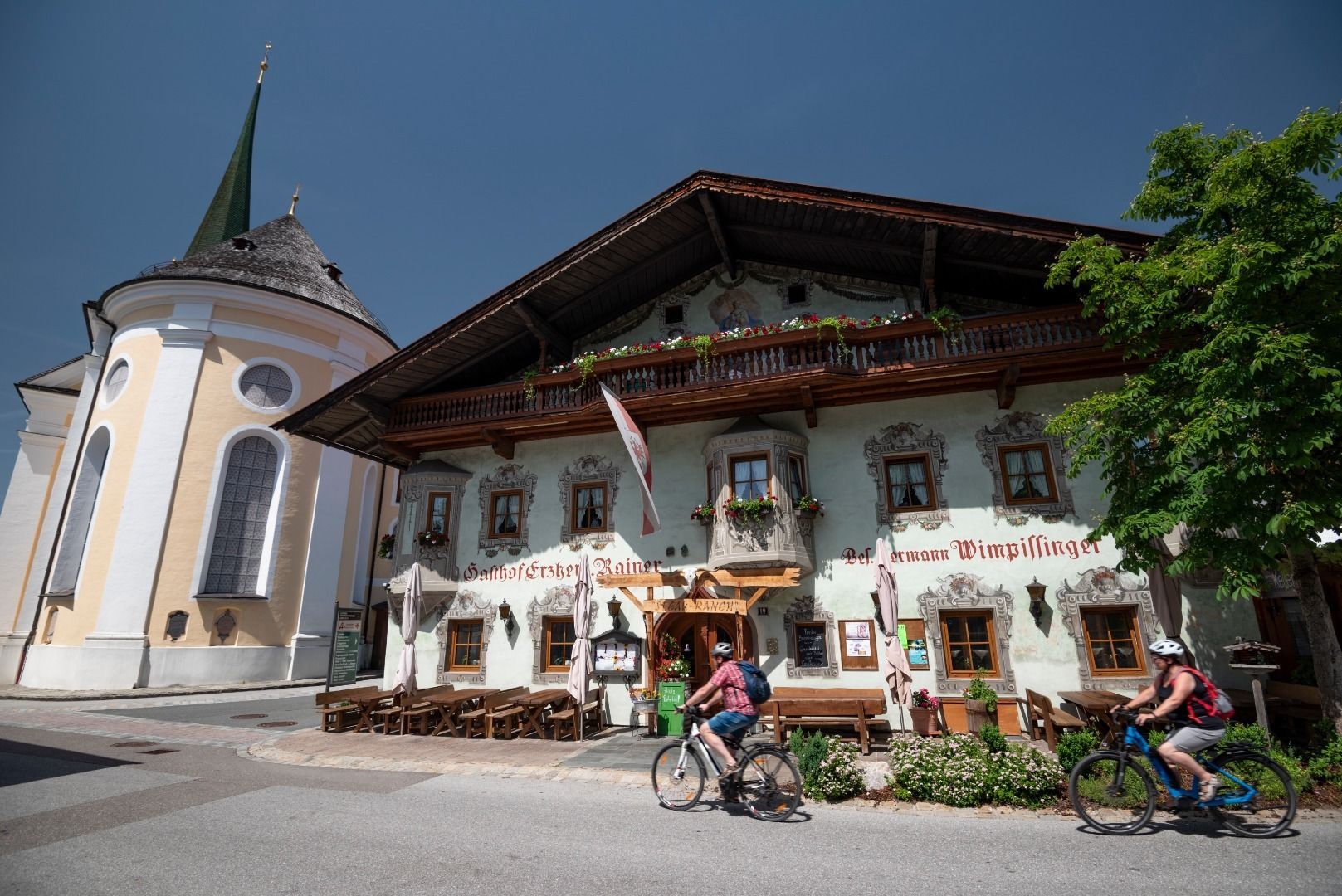
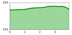
From the starting point at the traffic circle in the center of Kössen, the trail leads along the Mühlbachweg to the Staffenbrücke bridge. From there the path leads over the Kohlsteg for about 2 kilometers along the banks of the Ache to the Hüttwirtsbrücke. Along the way, the sculptures of the art project "Transformations" invite you to linger and reflect. At the end of the lakeside path, turn left at the outdoor sporting events and follow Hüttfeldstraße to the village center. With the church in view, turn left back to the starting point.
 

Getting here

More tours in the surrounding area

Newsletter

The mountain is calling? So does our newsletter!

In our monthly newsletter we reveal the best holiday tips for Tyrol.