Mountain hikes A hike around the Glungezer Summit

Tulfes / Tuxer Alpen
Difficulty ratings: medium
Route length: 11.4 km
Duration: 4:00 h

Alpine path along the Zirbenweg  (stone pine path) and on the way back collecting 2 summits

Tour information

  • Requirement: medium
  • Length: 11.4 km
  • Duration: 4:00 h
  • Elevation uphill:722 hm
  • Elevation downhill:704 hm
Highest point2,668 m

Starting point

Glungezer, Tulfeinalm

Finishing point

Glungezer, Tulfeinalm
  • Fitness level 4 / 6

Best time of year

  • January
  • February
  • March
  • April
  • May
  • June
  • July
  • August
  • September
  • October
  • November
  • December
Source: Region Hall - Wattens

Description

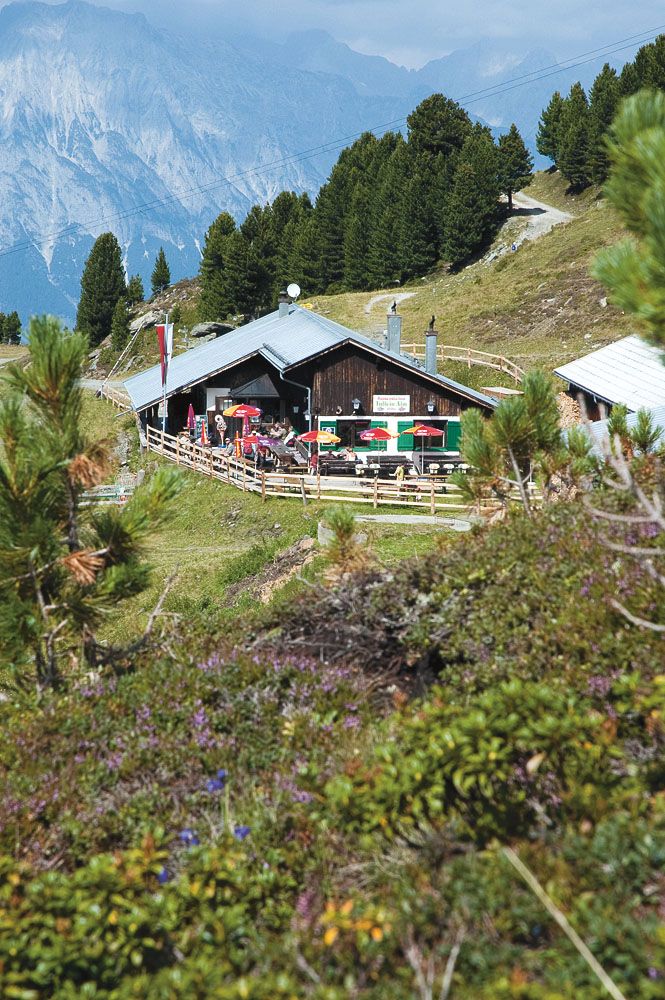
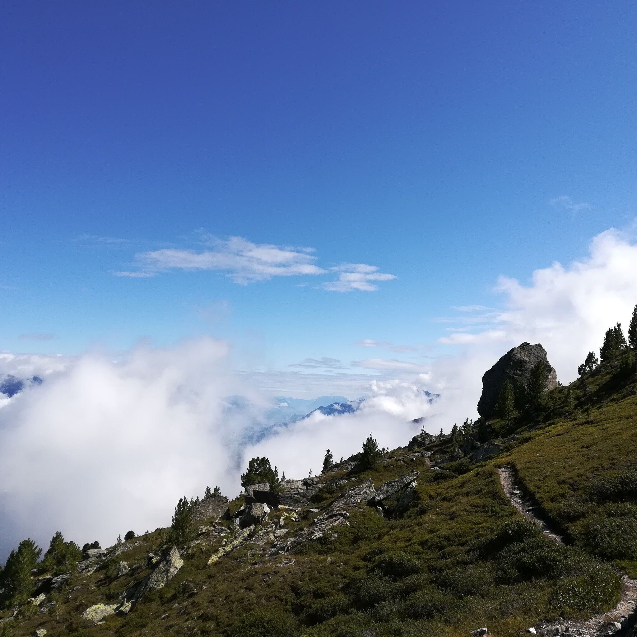
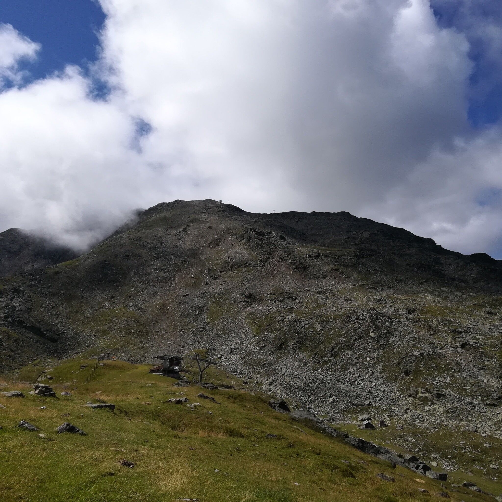
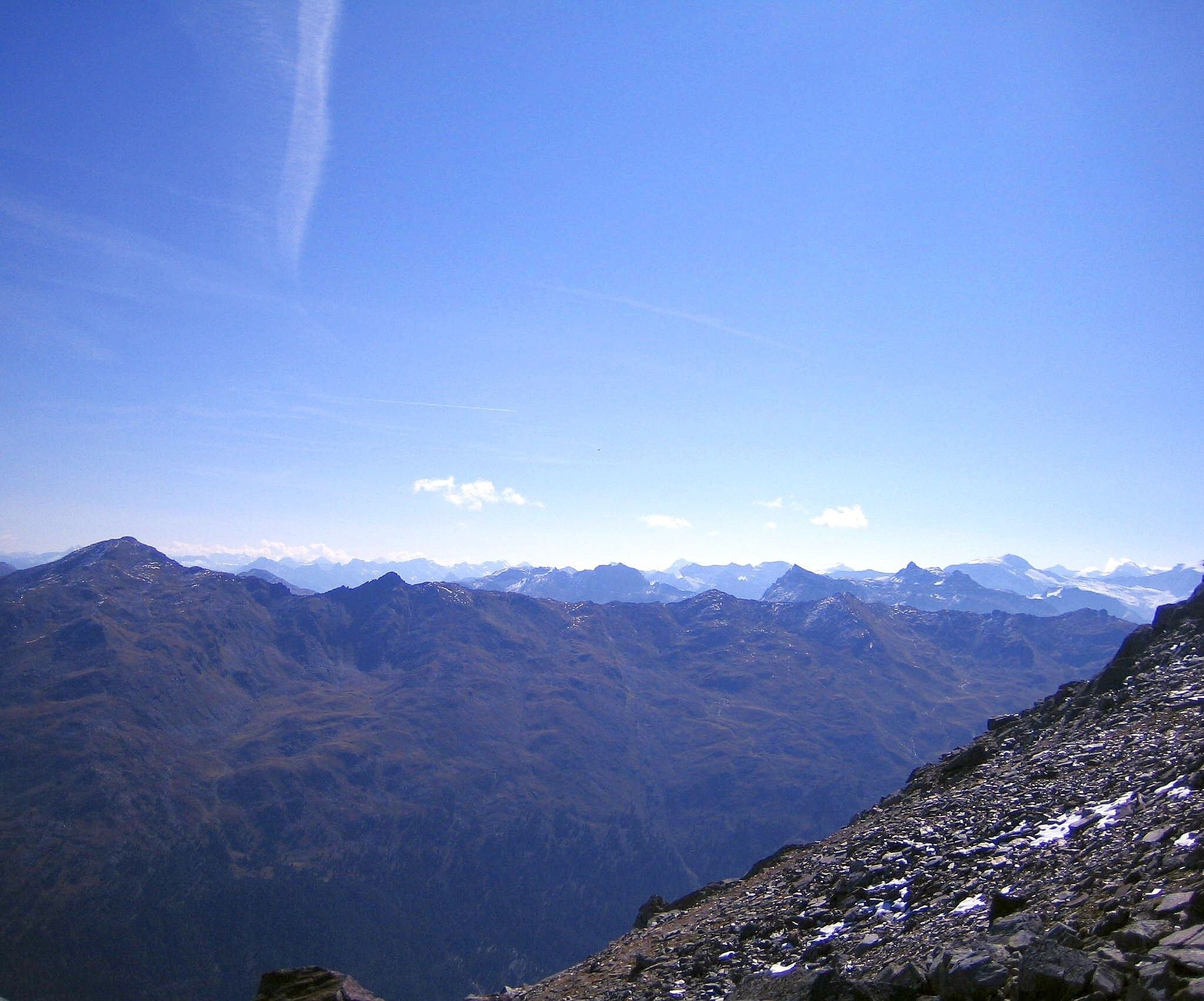
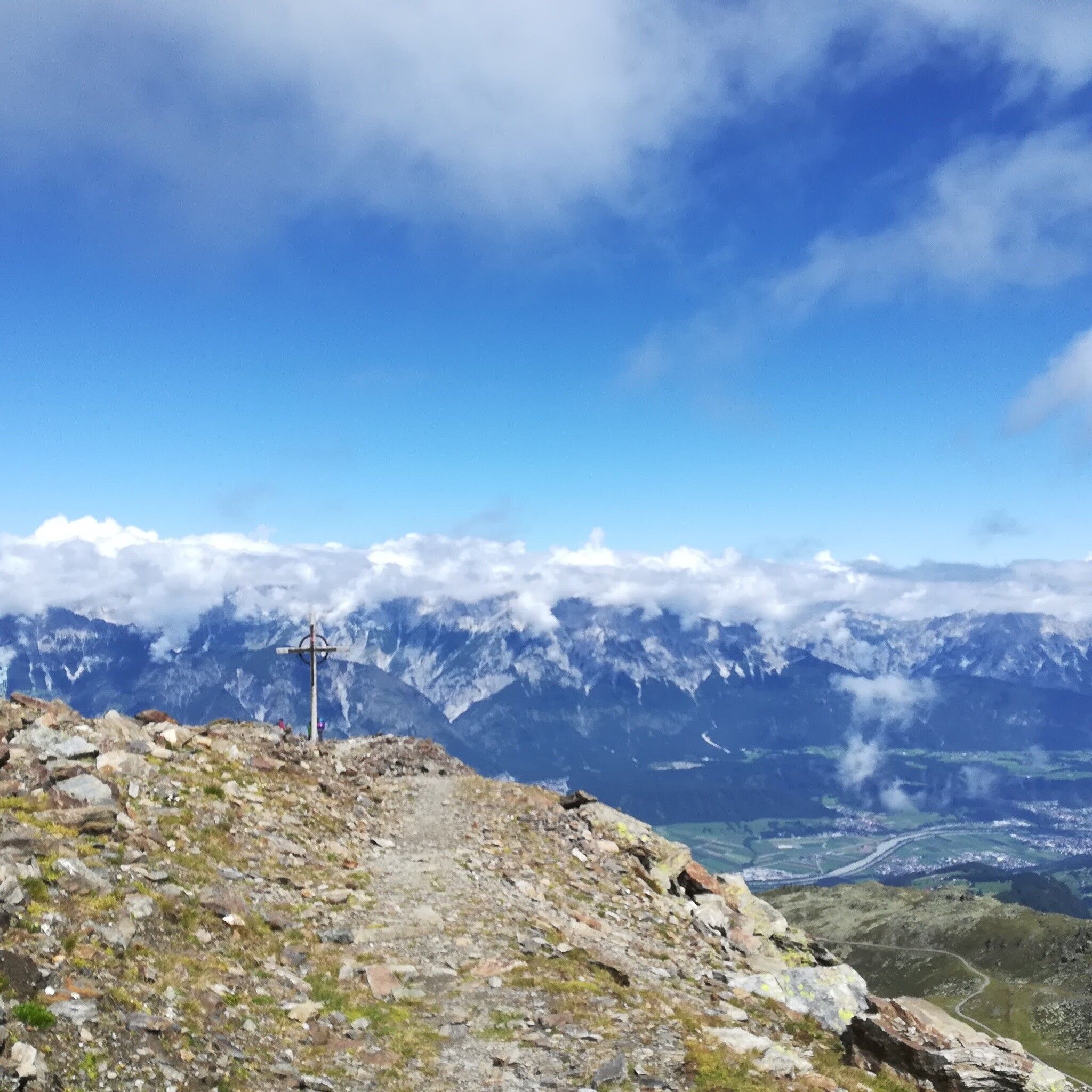
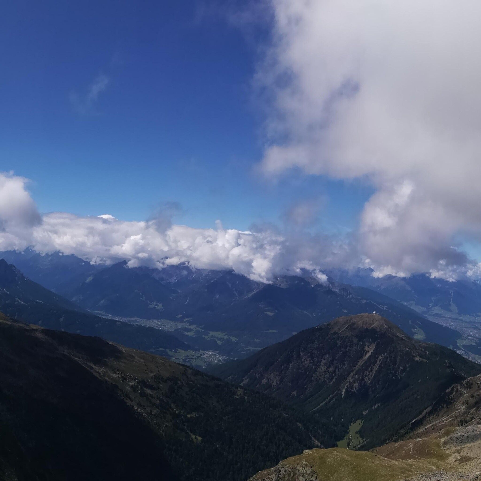
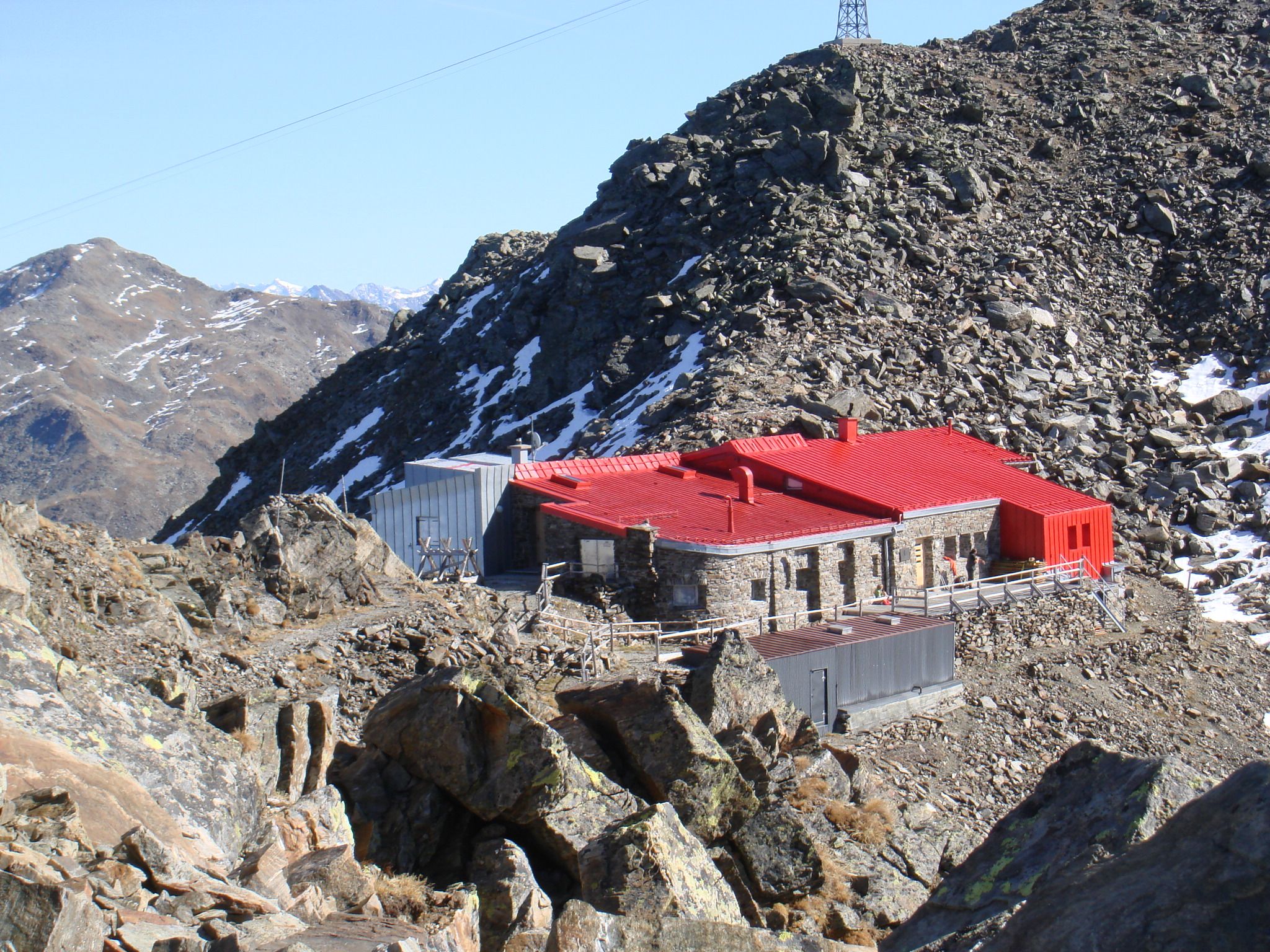
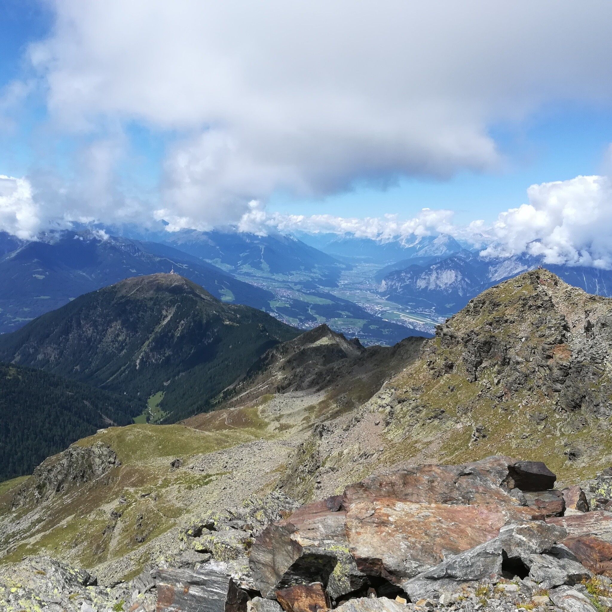
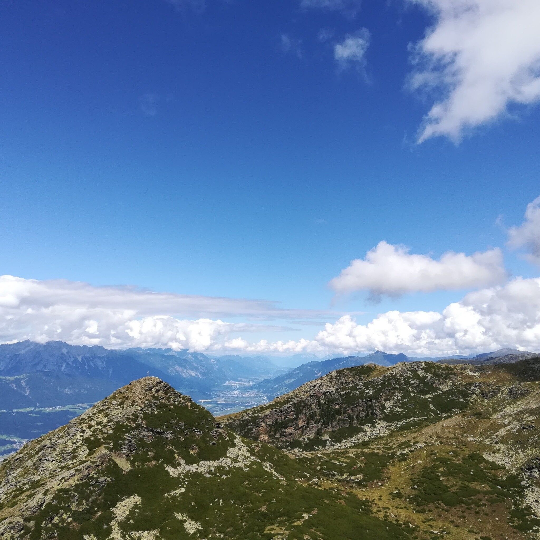
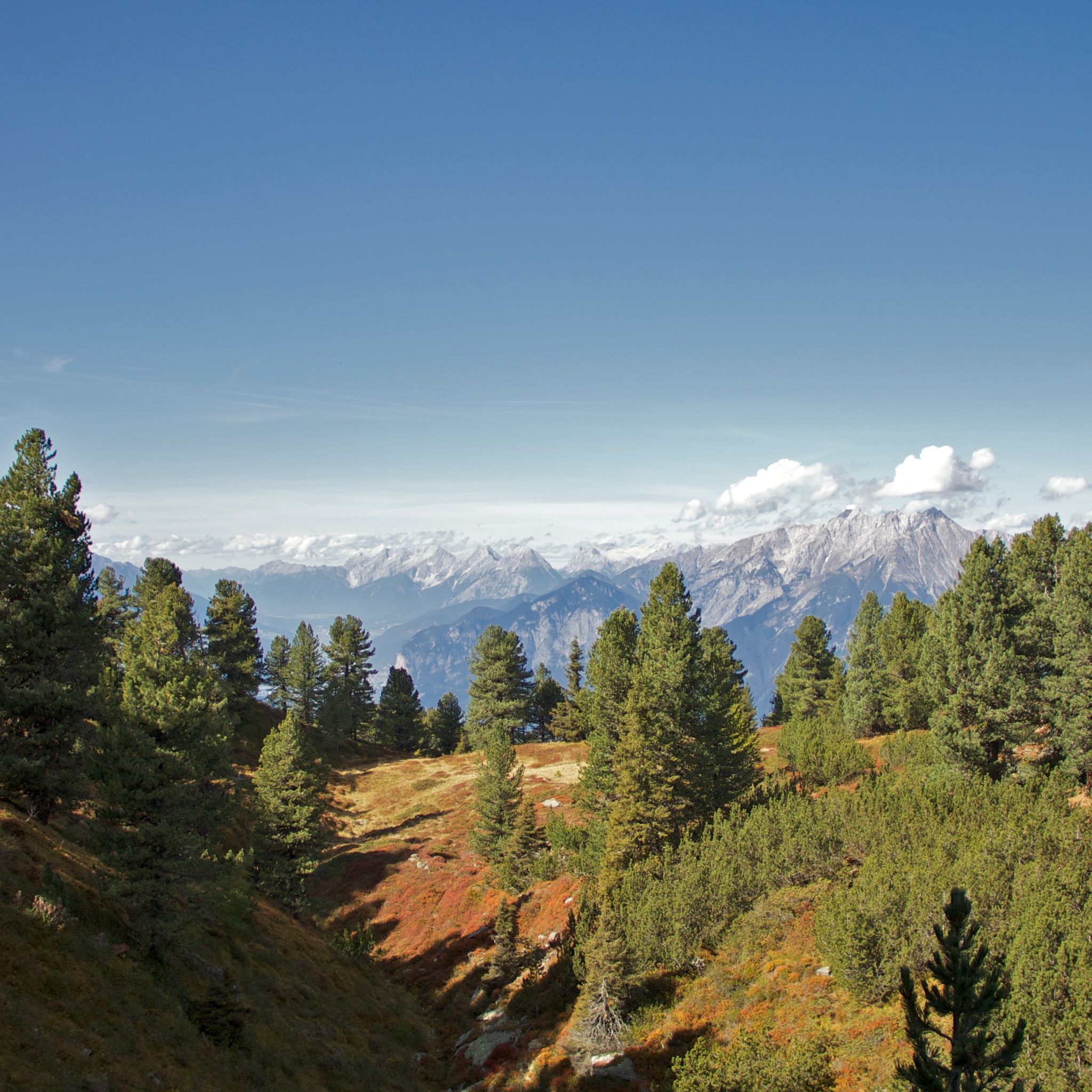
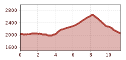
From the Glungezerbahn mountain station - on the Zirbenweg ( stone pine path) to the hut Boscheben - a short return and right onto the Glungezer Höhenweg, with a short side trip to the summits Sonnenspitze (2639 m) and the Glungezer (2678 m). Back to the Glungezerbahn mountain station.

Getting here

  • Arrival by public transport

    Bus 540

  • Parking

    parking place at the Glungezerbahn

More tours in the surrounding area

Newsletter

The mountain is calling? So does our newsletter!

In our monthly newsletter we reveal the best holiday tips for Tyrol.