Arrival by public transport
Take the regional bus (line 4080 to Achenkirch, change to line 7801 to Steinberg) to Steinberg am Rofan to the car park Waldfrieden. Get off at the stop: Steinberg a. R. Waldfrieden.
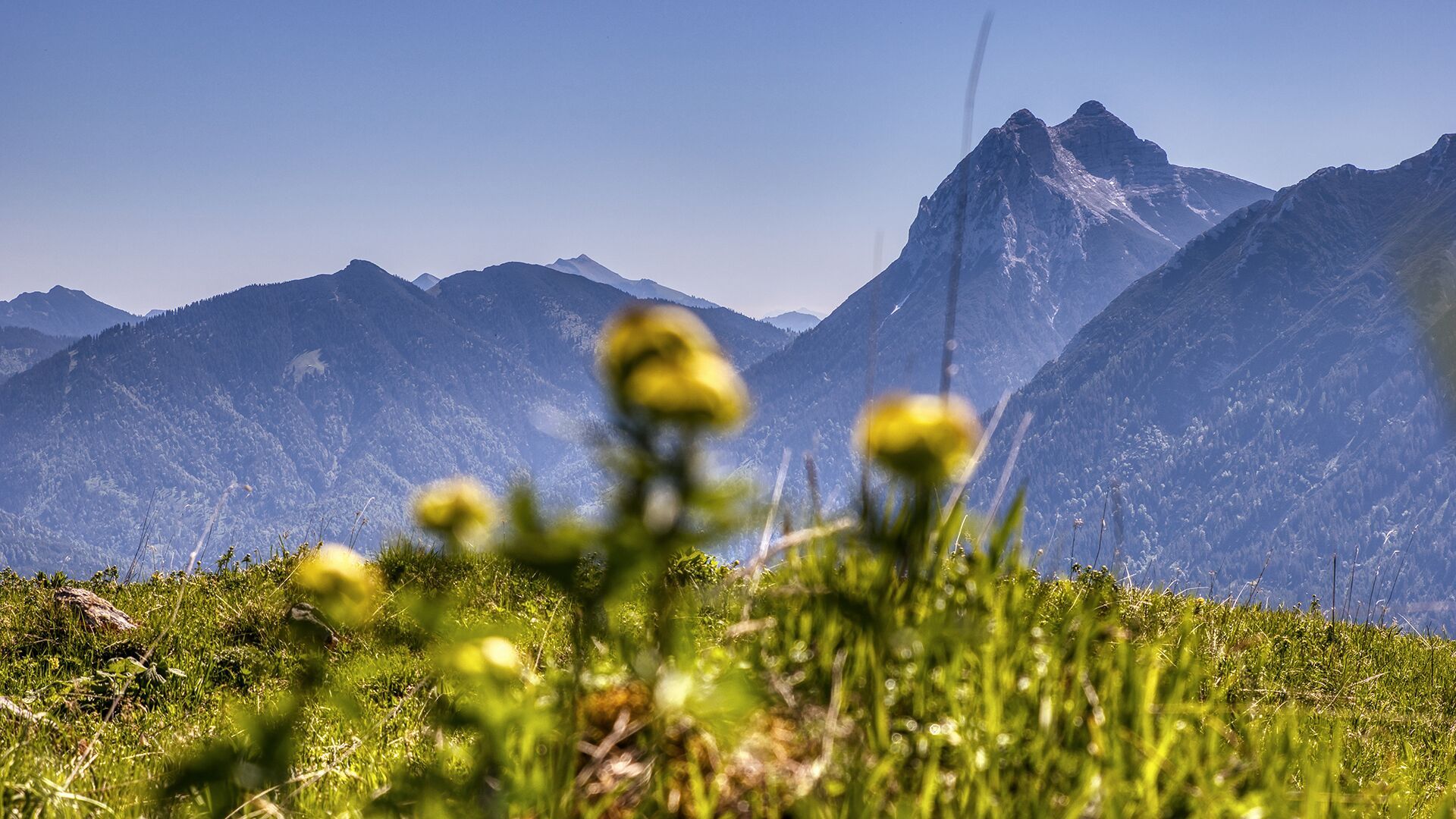
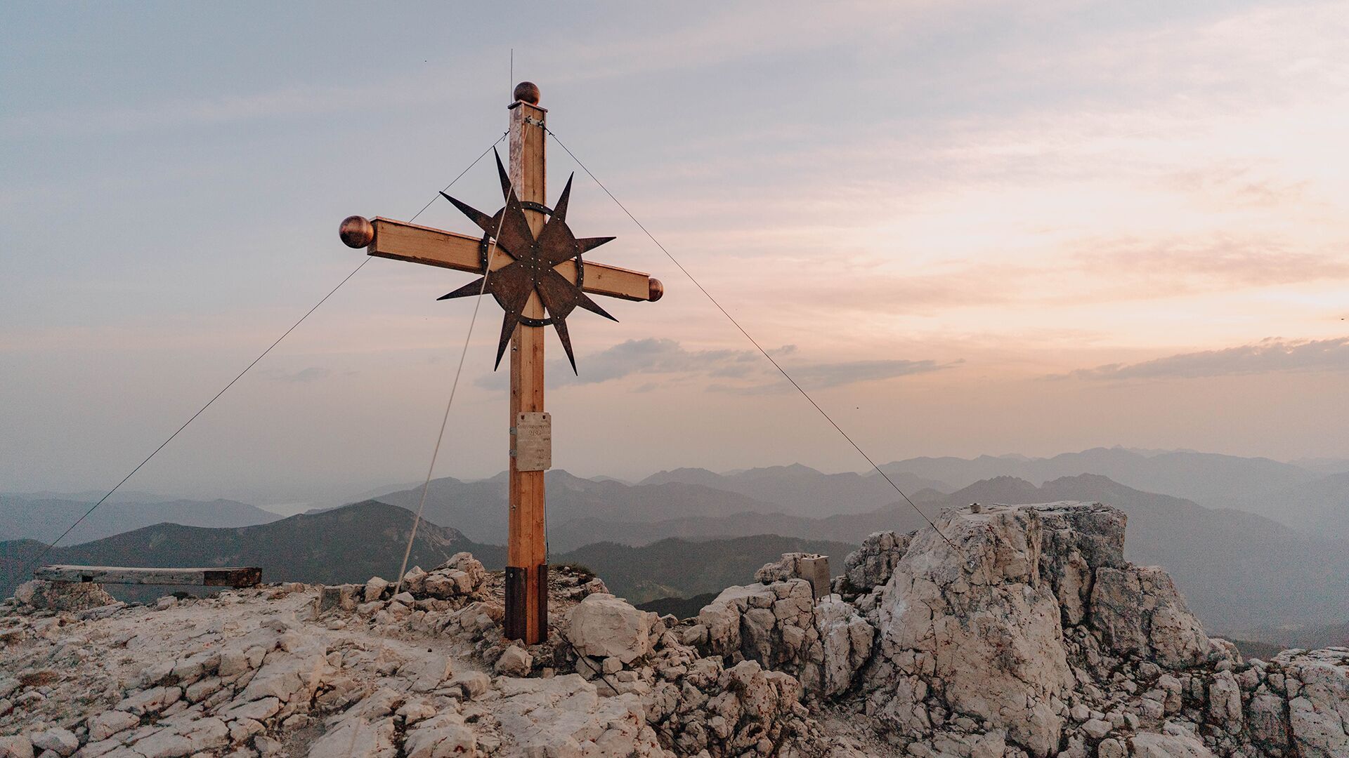
Achenkirch - Stubachalm - Guffert - Achenkirch
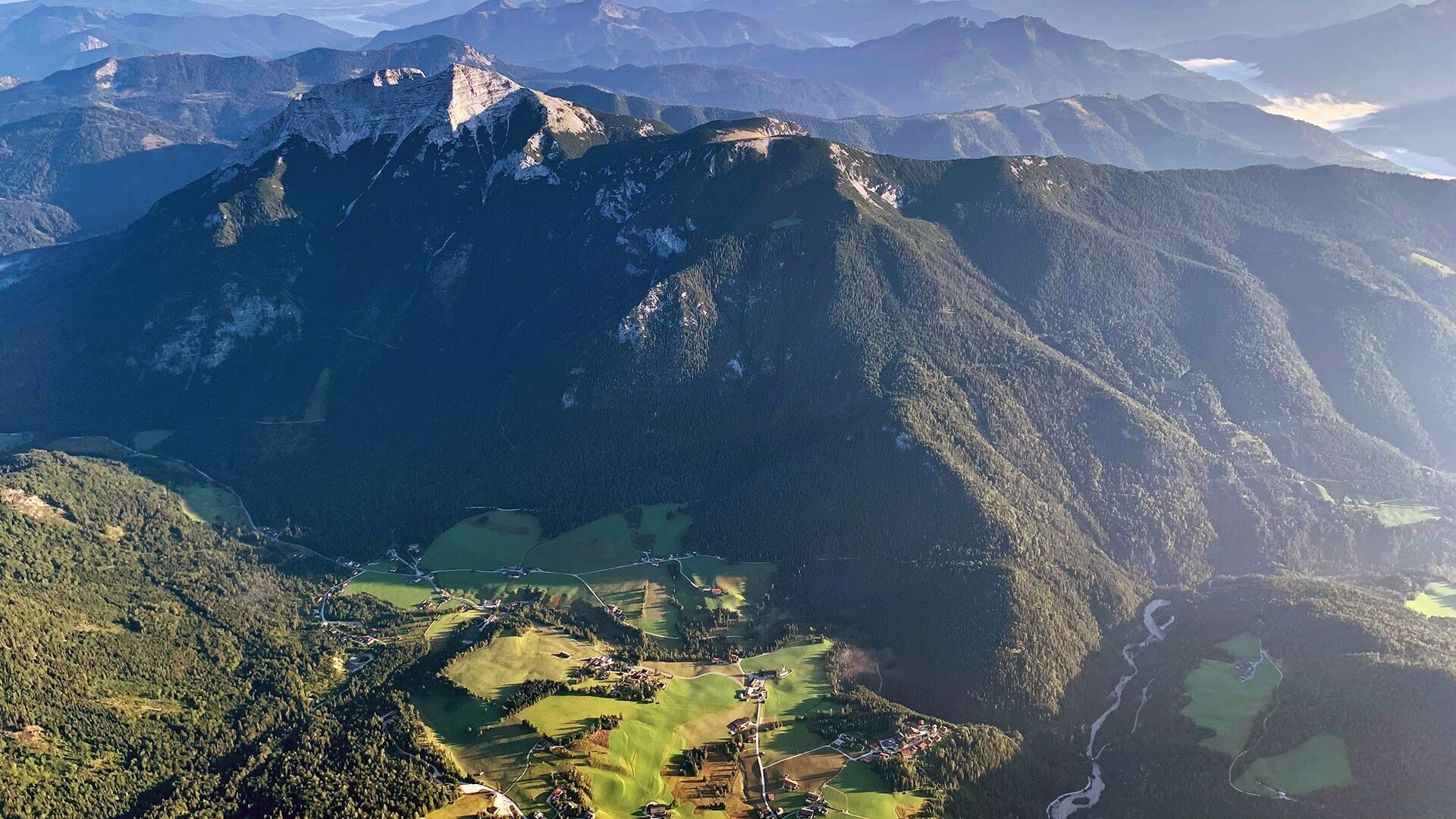
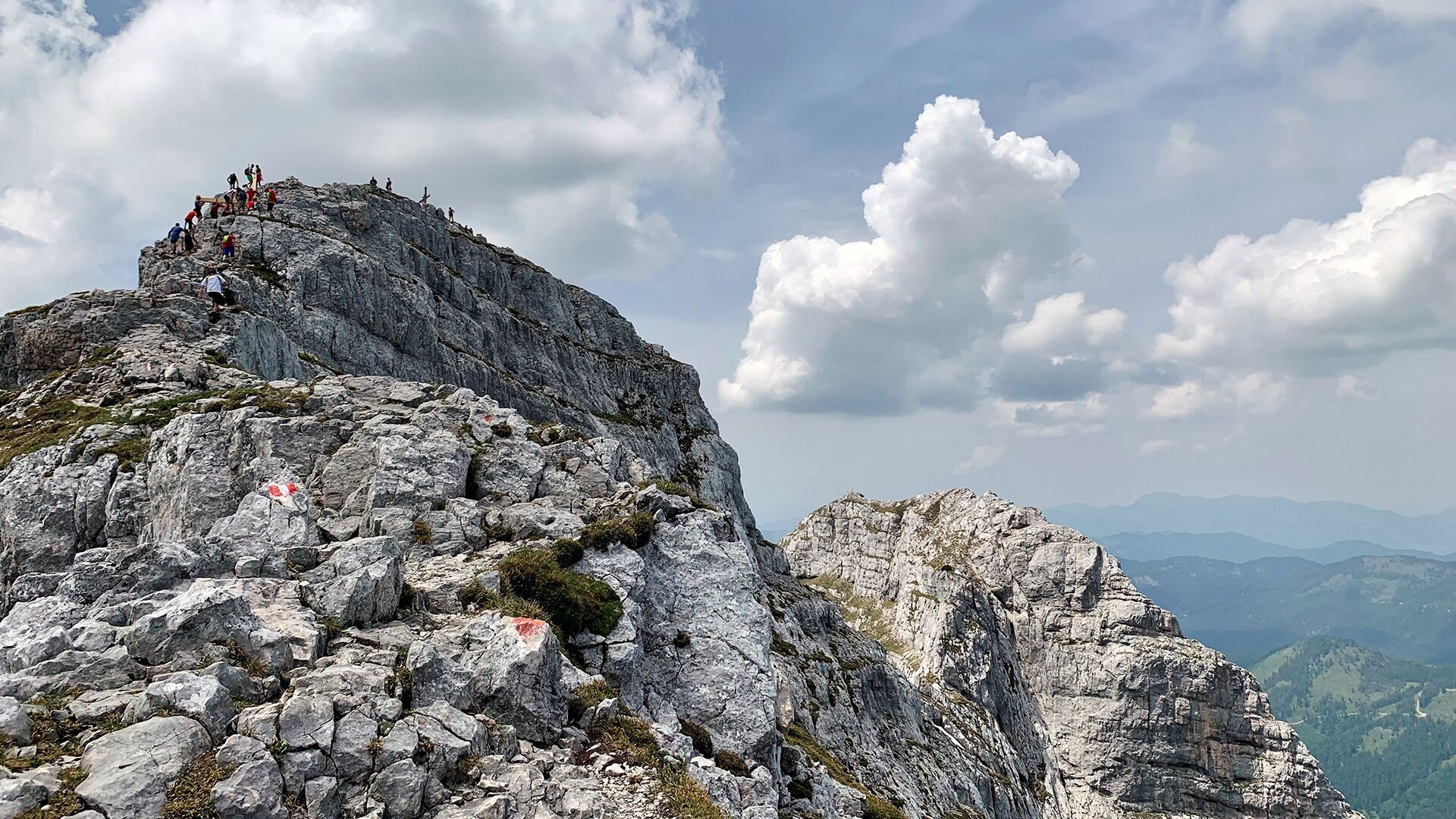
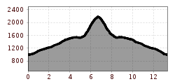
Go by car or regional bus in the direction of Steinberg for ca. 7 kilometres until you reach the car park “Waldfrieden”. From here, the trail leads in a northerly direction via the Stubachalm (1,371 metres, decrepit) to the Issalm mountain hut (not serviced). At the first junction, follow the signposts “Guffert”. This tour is recommended for experienced hikers only (some sections require securing yourself with a rope). The return is via the same route.
Take the regional bus (line 4080 to Achenkirch, change to line 7801 to Steinberg) to Steinberg am Rofan to the car park Waldfrieden. Get off at the stop: Steinberg a. R. Waldfrieden.
Car park Waldfrieden in Steinberg am Rofan (paid parking lot)


