
Opening hours:Open today
Place:Brandenberg
:Restaurant, Alpine pasture / hut / mountain restaurant
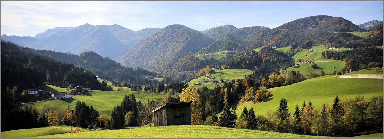
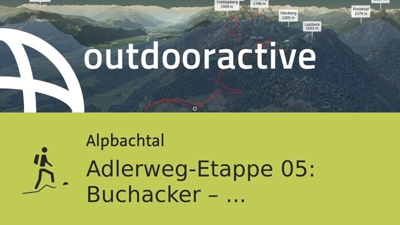
This Adlerweg stage, leading from Gasthof Buchacker to Gasthof Gwercherwirt, requires moderate fitness. Along the route, there are repeatedly wonderful views of the Kaiser Mountains, the Kitzbühel Alps, the Rofan Mountains, the Zillertal and Stubai Alps, and in good visibility even as far as the Großglockner and Großvenediger.
Sure-footedness is especially required on the ascent to Plessenberg!
Good footwear and weather clothing, as well as sufficient drinks and snacks – no opportunities to stop for food!
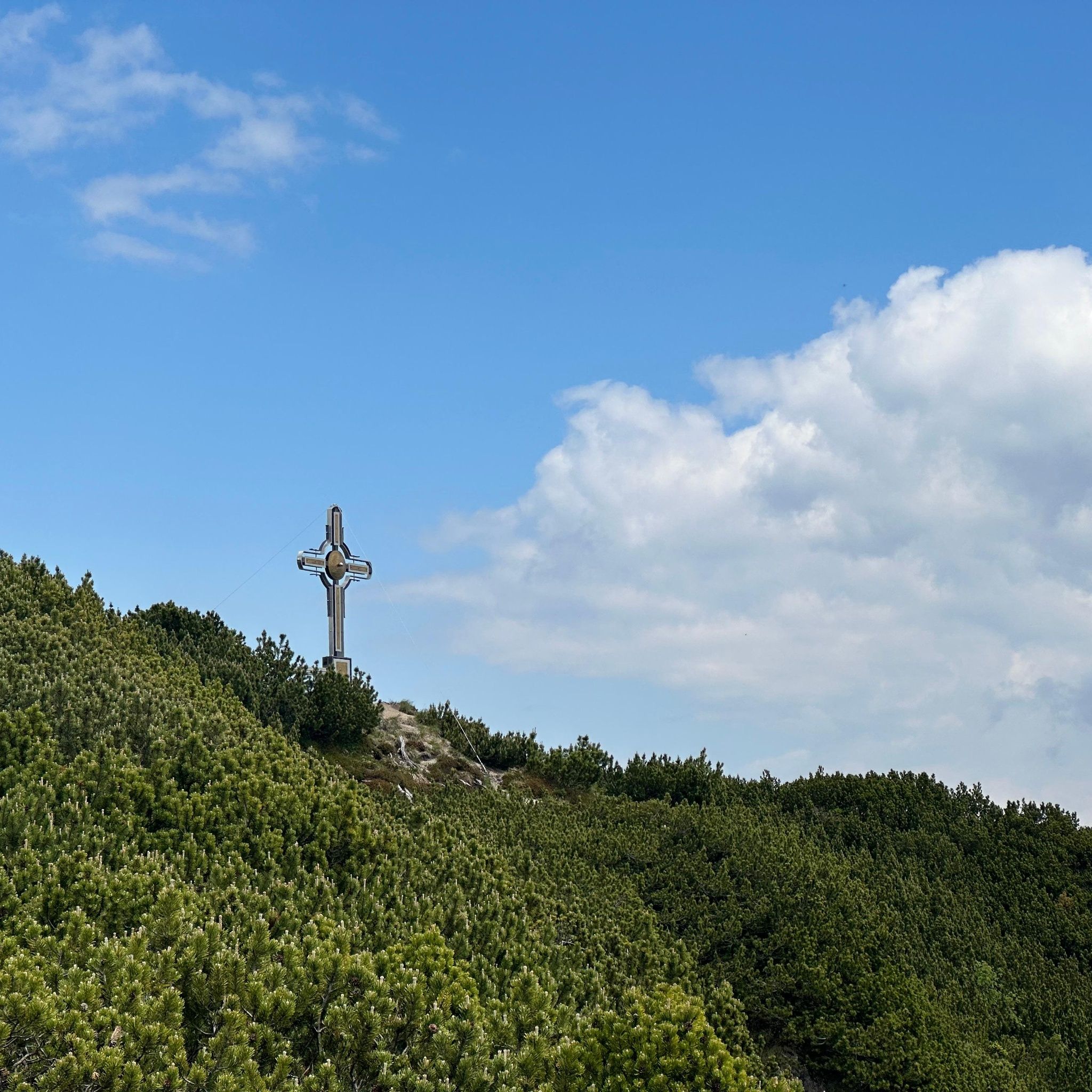
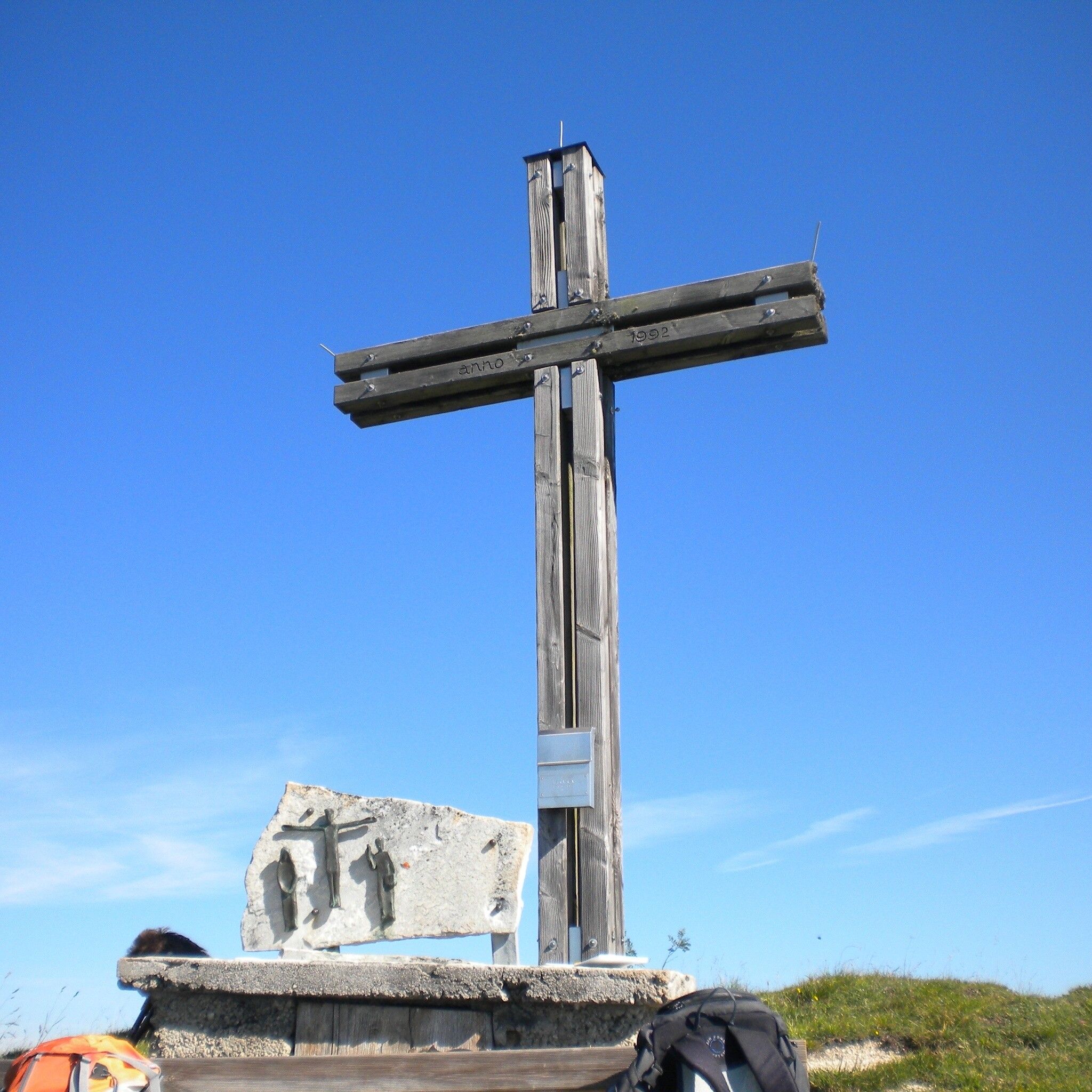
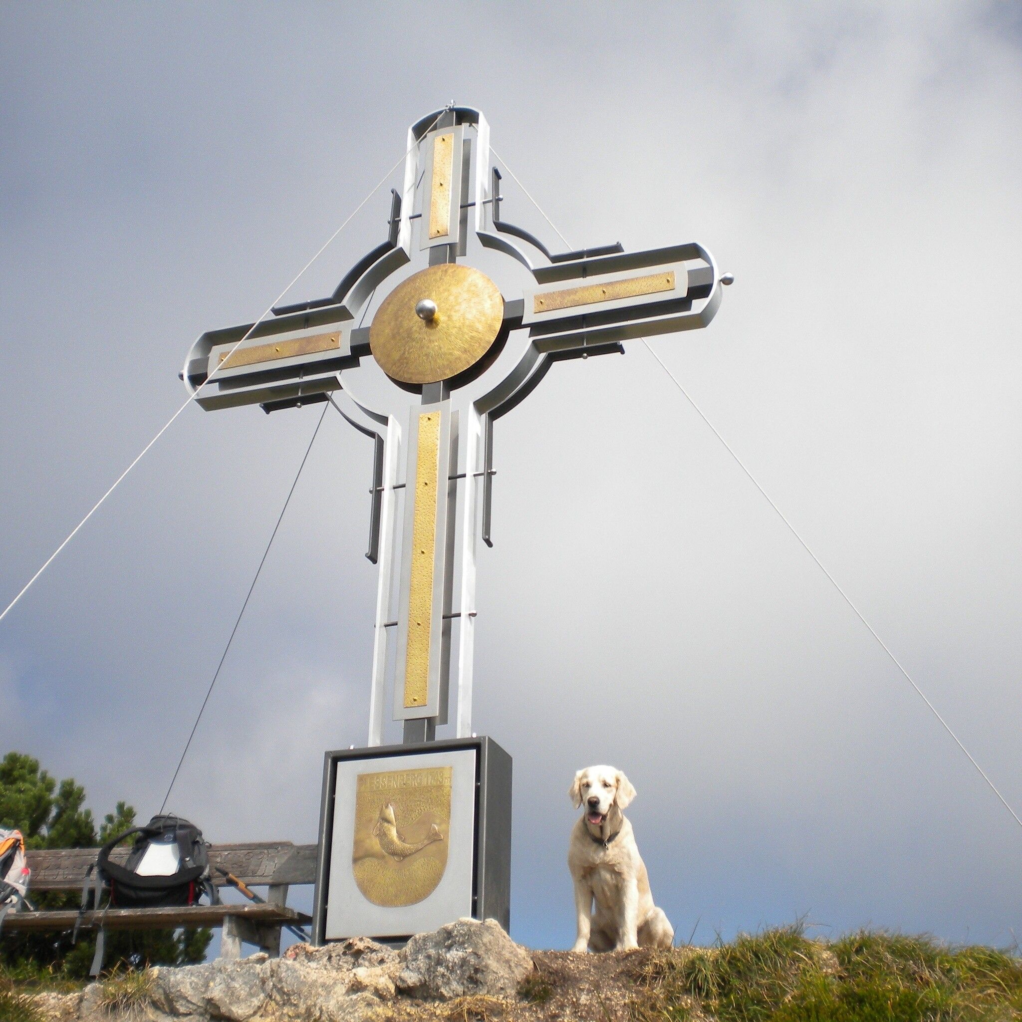
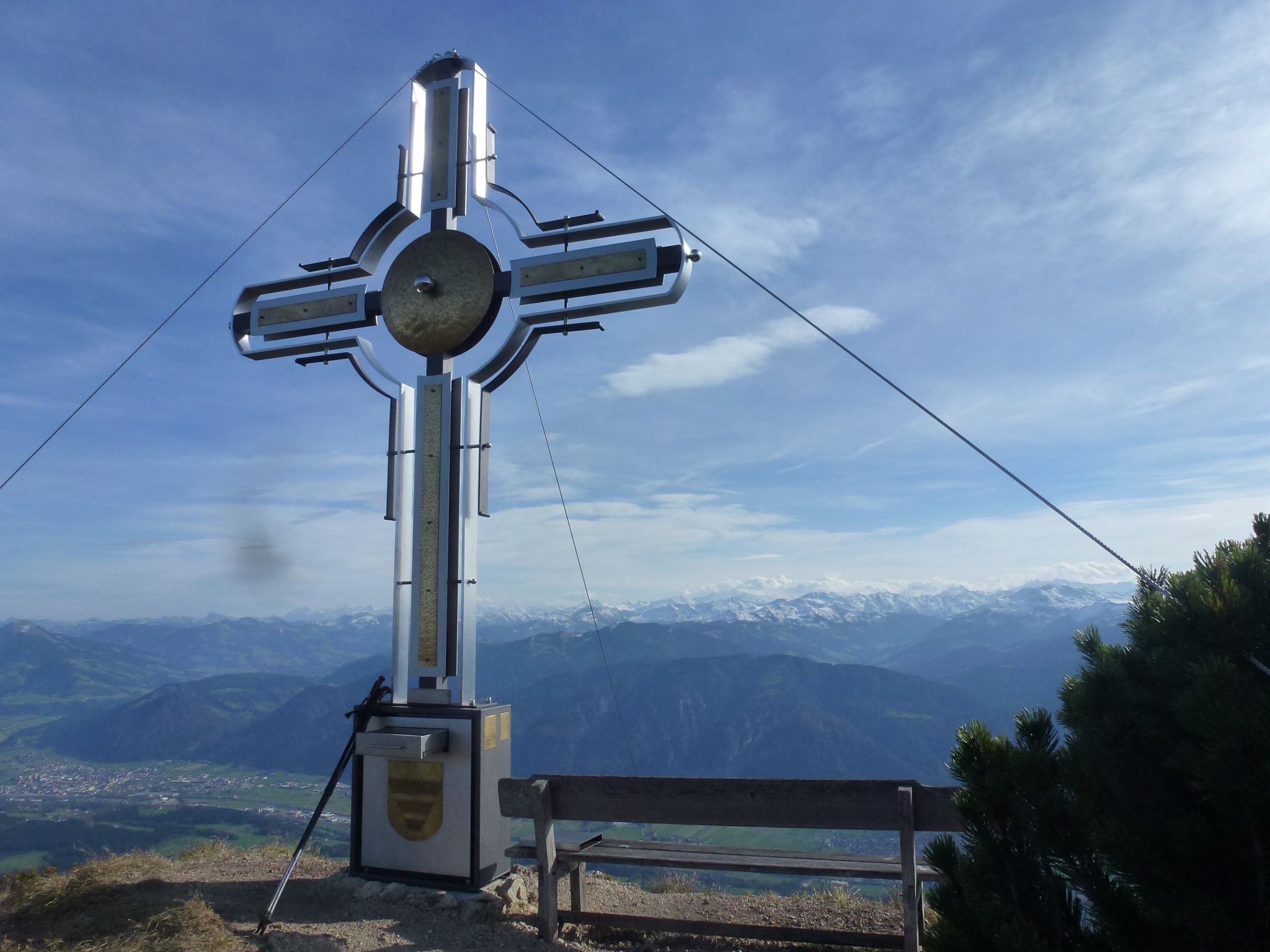
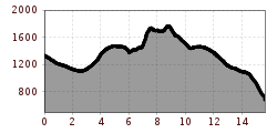
From Gasthof Buchacker, follow the forest road downhill for a short distance to the next junction, here turn right following the path to the "Hasatal". Then proceed to the next junction, here turn left slightly uphill and soon after turn right onto the trail towards "Nachbergalmen". Now the trail goes a bit steeper uphill to the Nachberg Hochleger and continues across the alpine pasture area to the "Ascherjoch" at 1,458 meters. Now comes the technically more demanding part of the route – the path up to the "Plessenberg", a black mountain trail with four rope sections. Partly you climb quite steeply upward over stone steps and rope-secured sections to the summit at 1,743 meters. From here you enjoy a wonderful view of the Kaiser Mountains, the Kitzbühel Alps, the Rofan Mountains, the Zillertal and Stubai Alps; in good visibility you can even see as far as the Großglockner and Großvenediger. After a well-deserved break, head a little downhill to the Heubergsattel, here keep right towards Kienberg. The following ascent leads through larch fields to the summit of Kienberg and thus to the highest point of the route at 1,786 meters. This completes the ascent quota. From now on, it is only downhill over beautiful alpine pastures, passing among others the Einkehralm and the Heubrandalm. The final sprint goes steeply down the trail from "Prama" to Pinegg, where after this long and demanding stage you can rest at the Gasthaus Gwercherwirt, which lies in untouched nature in the high valley Brandenberg.
not possible
Buchacker car park
.jpg")
.jpg")
.jpg")
.jpg")


