
Opening hours:Open today
Place:Brixen im Thale
:Alpine pasture / hut / mountain restaurant
A feast for the eyes!
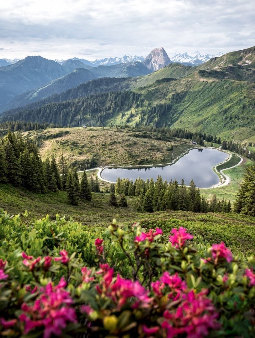
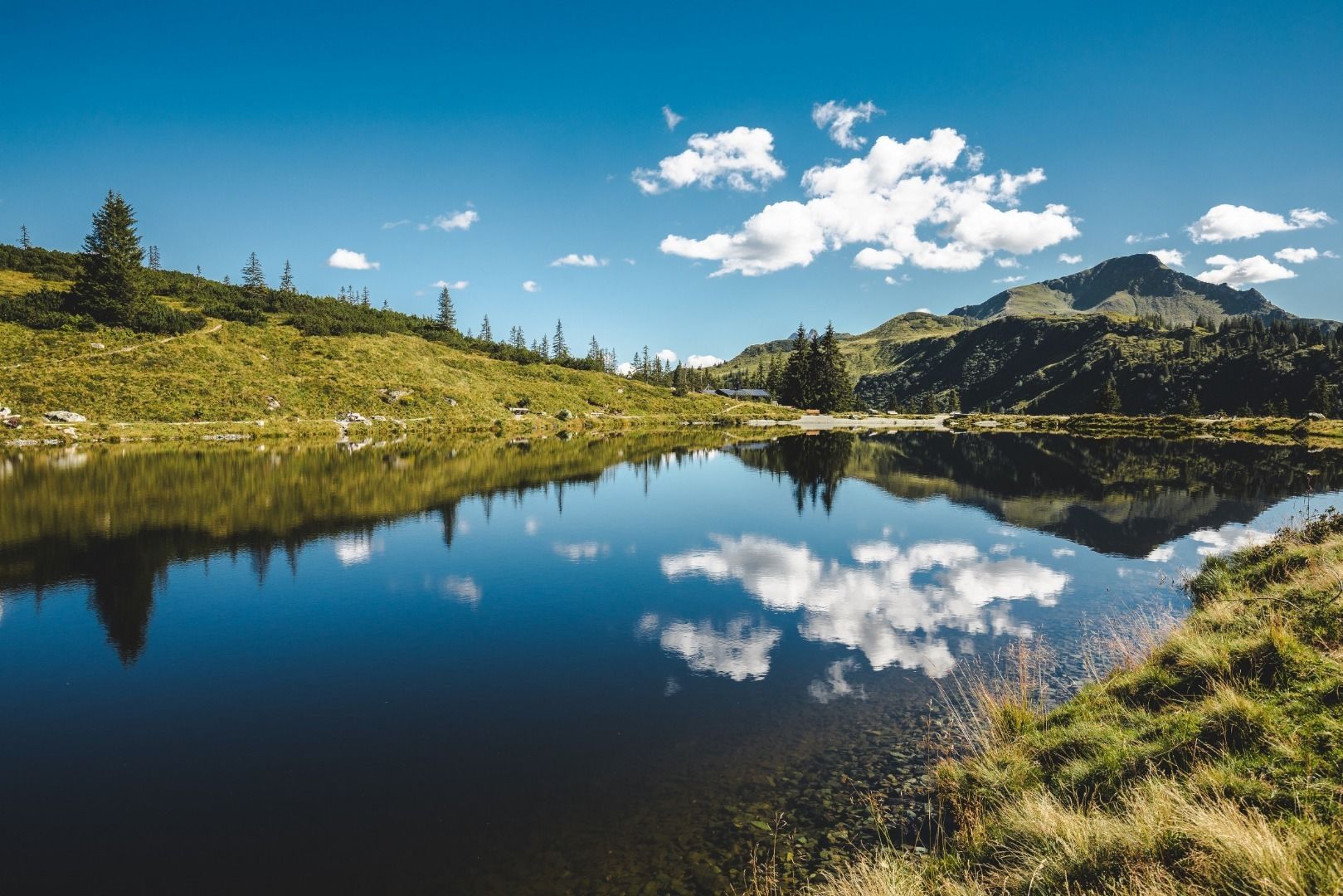
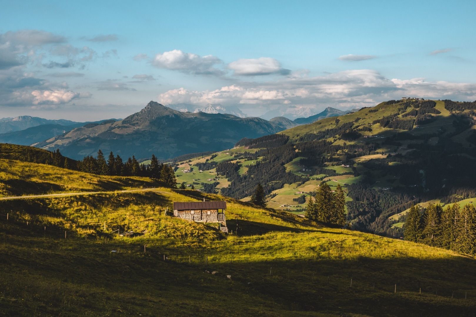
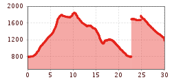
Starting point is the village centre of Brixen im Thale in the direction of Erlensee, after the bridge we keep right and follow the hiking trail to Westendorf until we reach the Kandleralm junction. Follow the forest road to the Choralm. Continue to the mountain station of the Alpenrosenbahn cable car, from here continue to the Brechhornhaus and Kreuzjöchlsee lake.
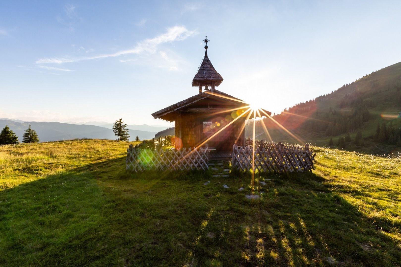
Shortly after the lake, a path leads to the Gampenkogel for those who would like to climb another summit, otherwise we hike towards Wiegalm and further downhill to the Brixenbachalm and back to the starting point either along the Way of the Cross or along the forest road to Brixen im Thale. The trail can also be walked in the opposite direction.
bus stop Brixnerwirt
railway station Brixen im Thale
Mobility in Brixental: https://www.kitzbueheler-alpen.com/de/bri/mobil.html
center Brixen im Thale


.jpg")


.jpg")


.jpg")
.jpg")


")

.jpg")
